Killiecrankie and the Soldier's Leap
This route meanders gently along the River Garry through beautiful countryside before leading to a challenging climb with splendid views of the surrounding hills. Next comes a steep downhill dashing through a woodland where you might be lucky enough to spot some red squirrels.
Route Summary
-
- Distance
- 9 miles / 15 km
-
- Time
- 00:49
-
- Ascent
- 689 feet / 210 m
-
- Difficulty Level
- Moderate
-
- Terrain
- Mixed
-
- Start Point
- Blair Atholl Station
-
- End Point
- Blair Atholl Station
-
- How to Get There
This route is accessible via railway via Blair Atholl Railway Station
-
- Downloads
- Download GPX
Route Map
Gallery
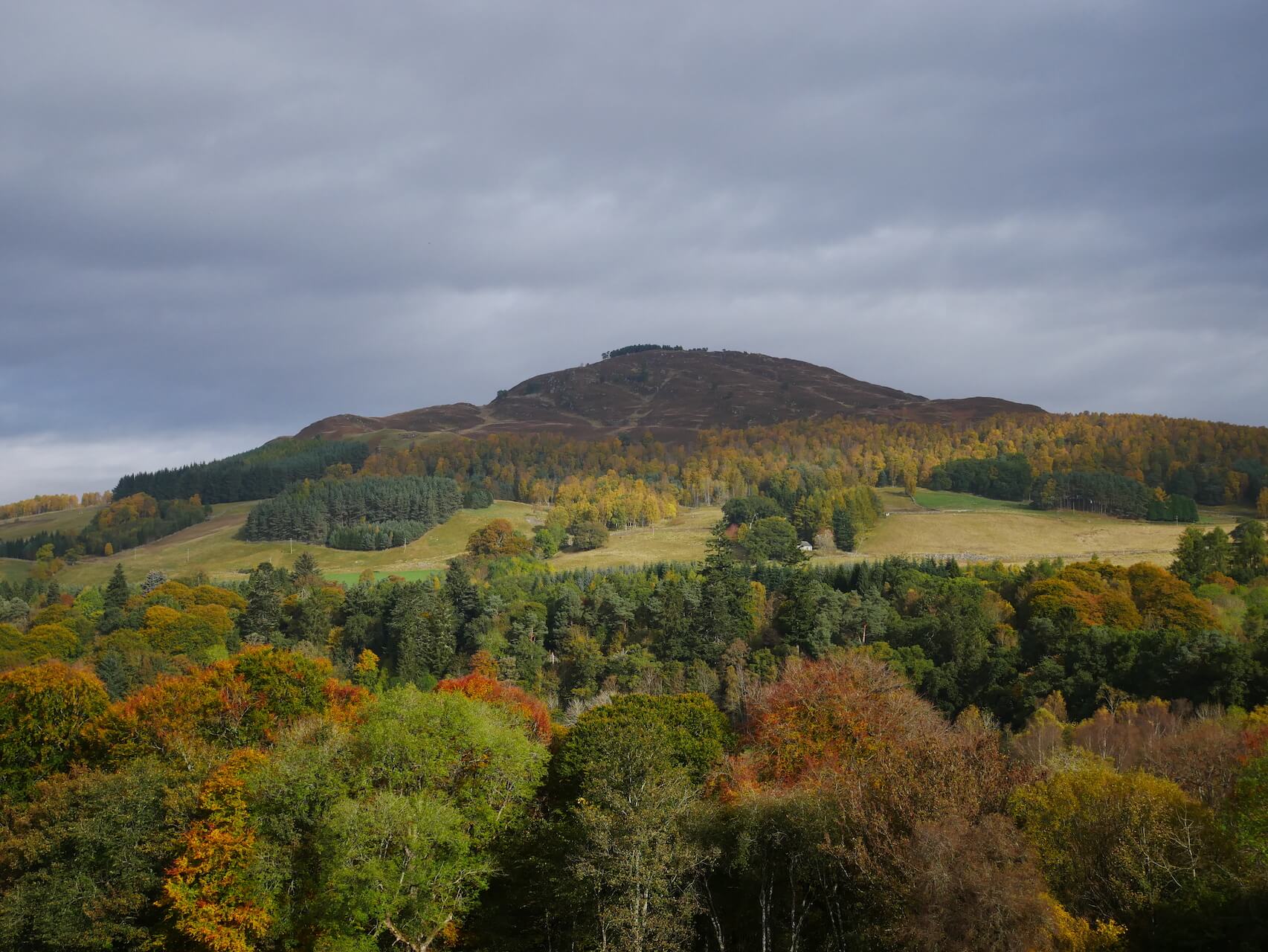
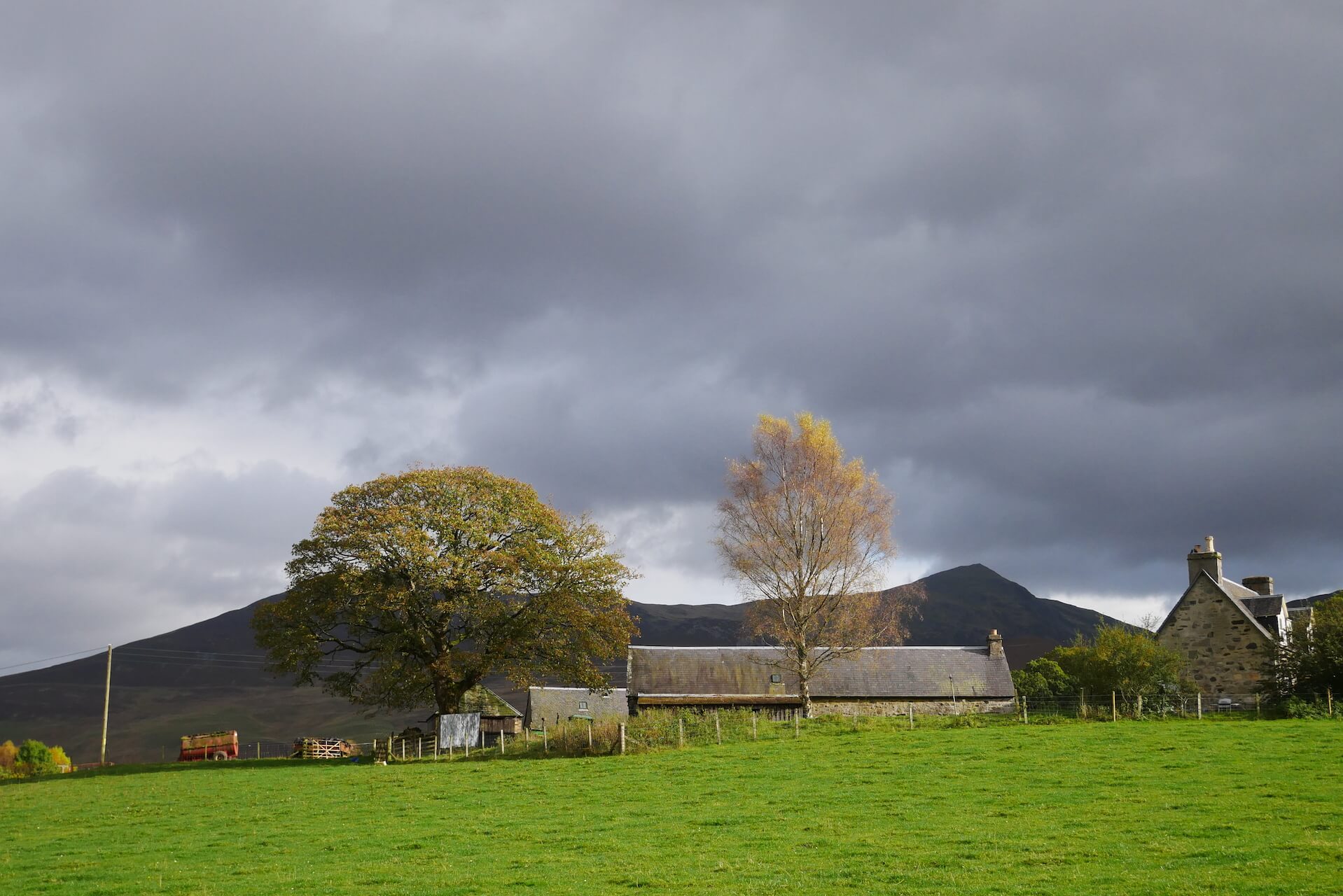
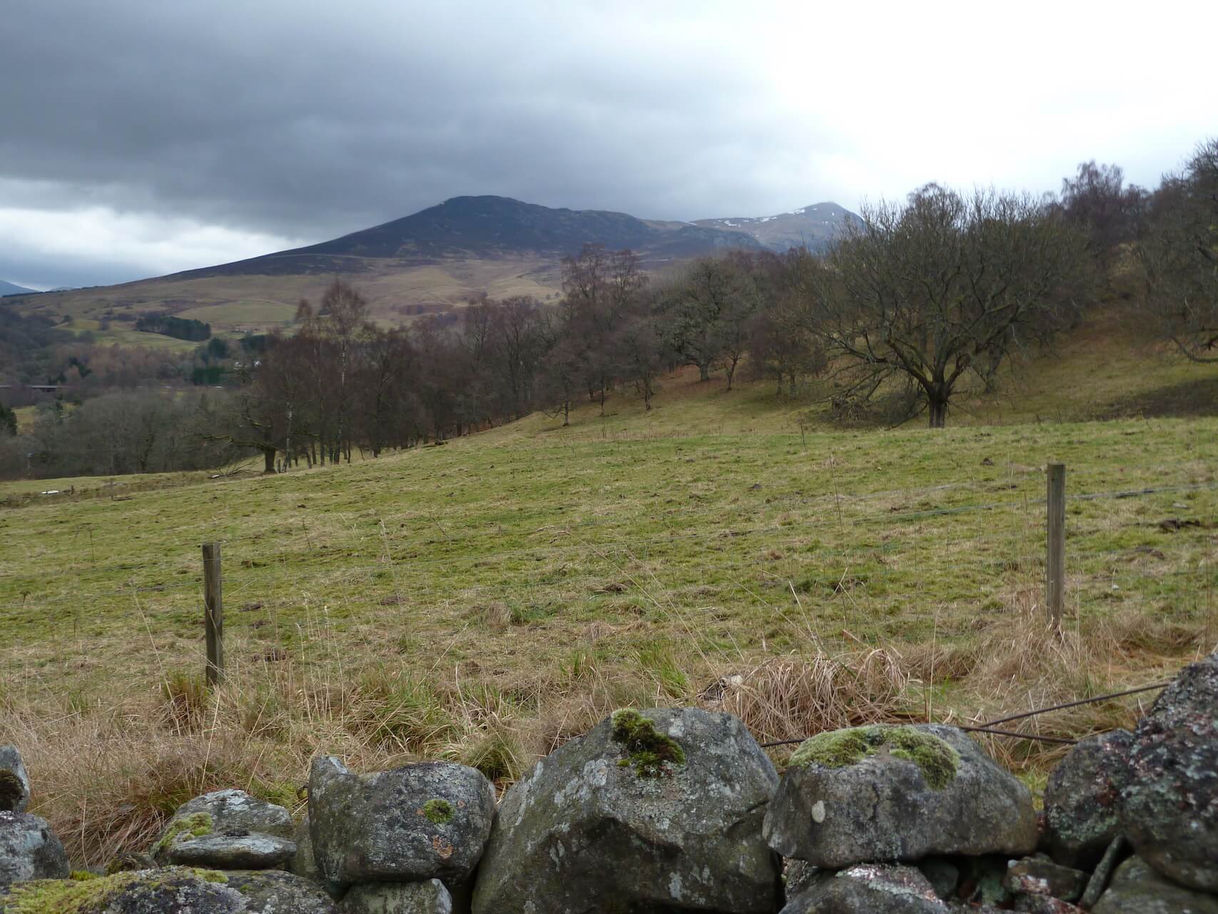
Ben Vrackie
Ben Vrackie
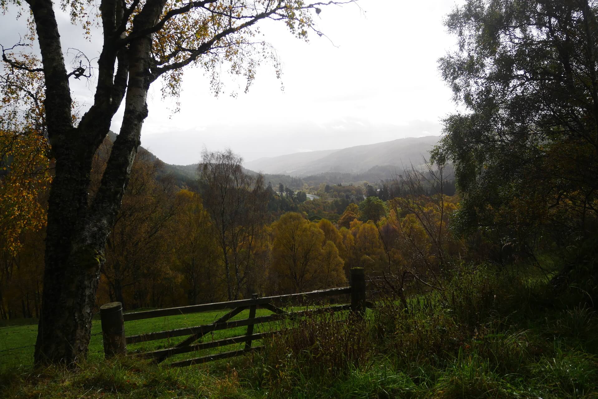
Autumn Foliage
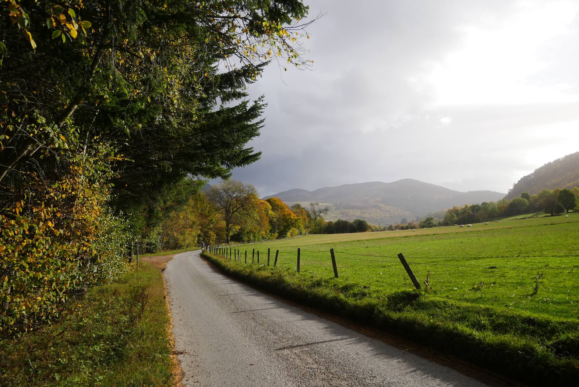
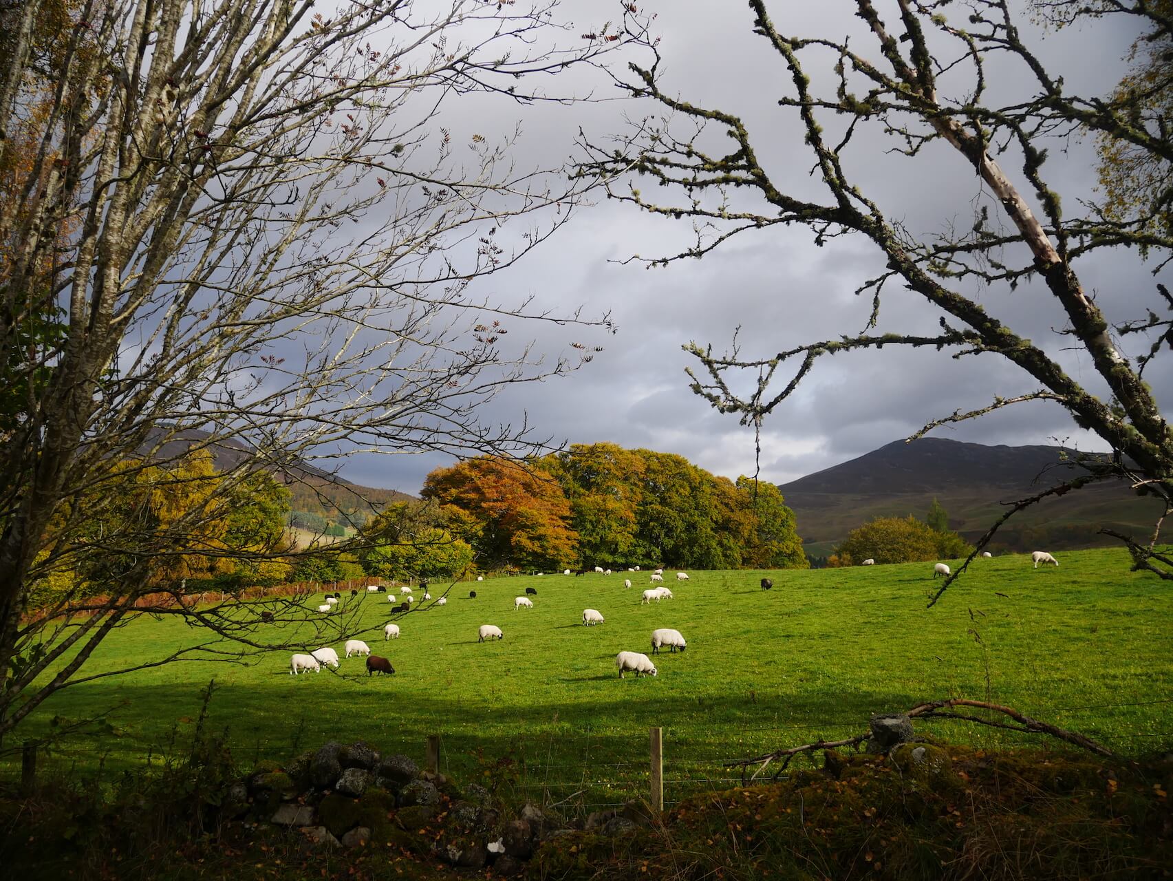
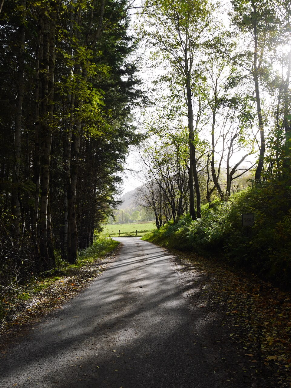
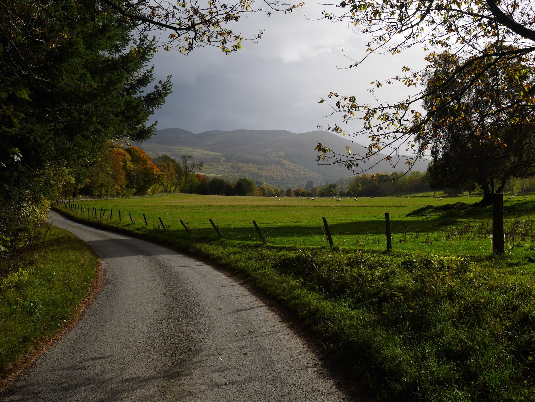
Tenandry Road
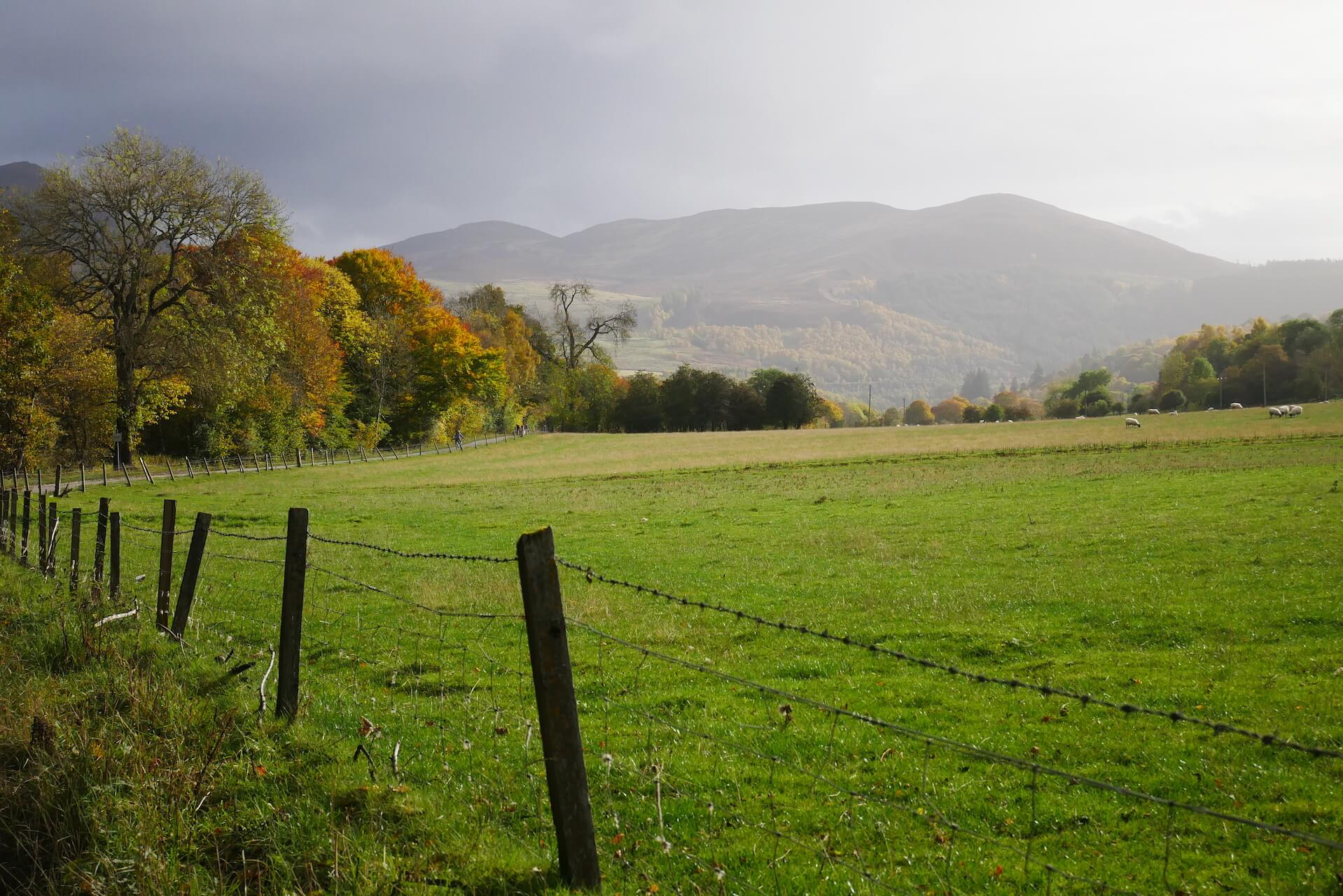
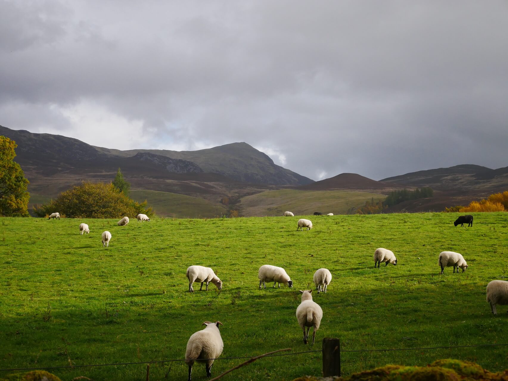
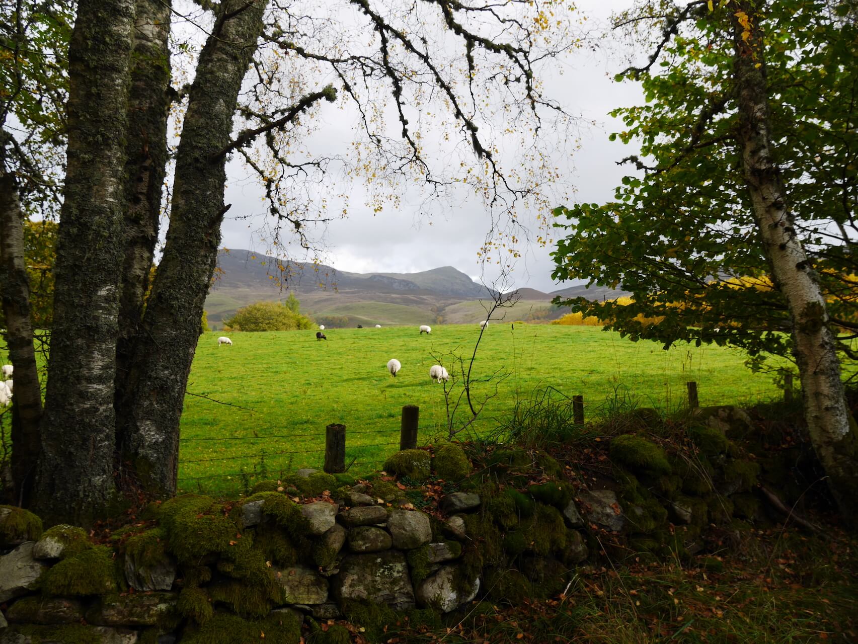
Sheep along Tenandry Road
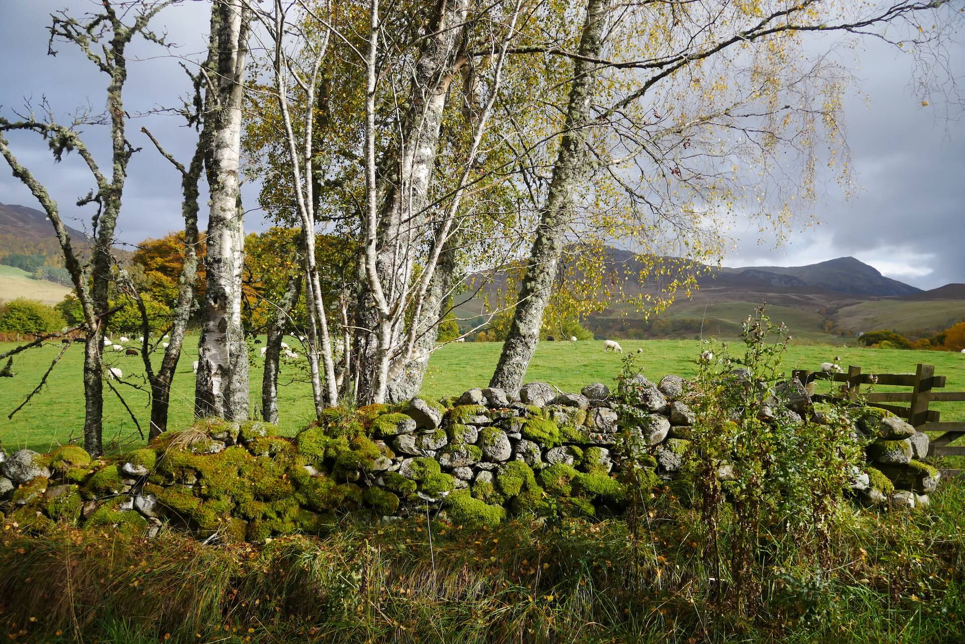
Birch Trees - Tenandry Road
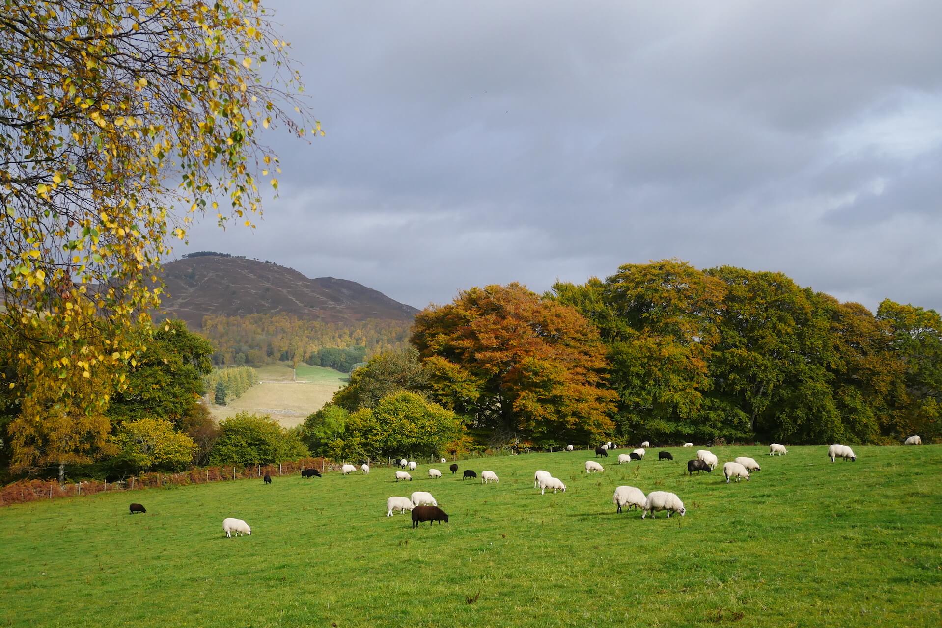
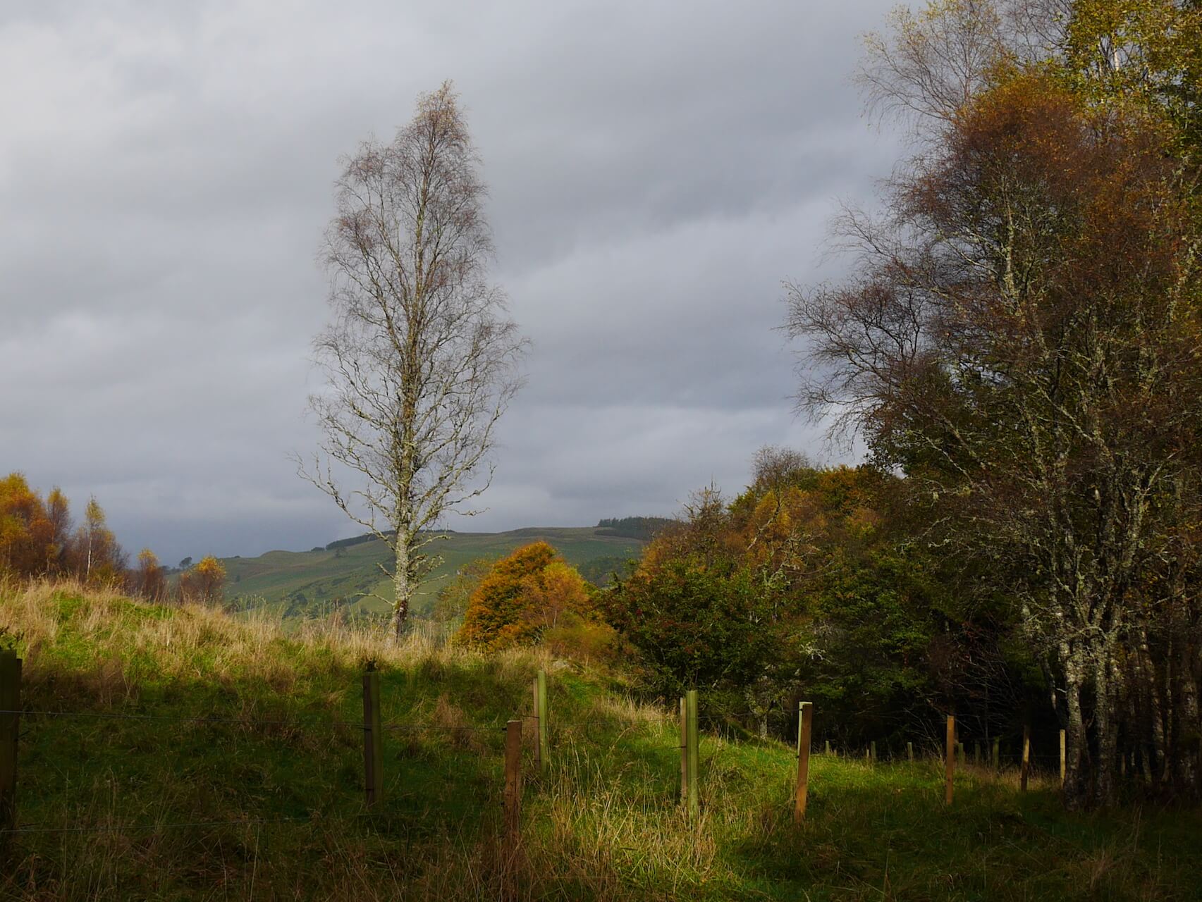
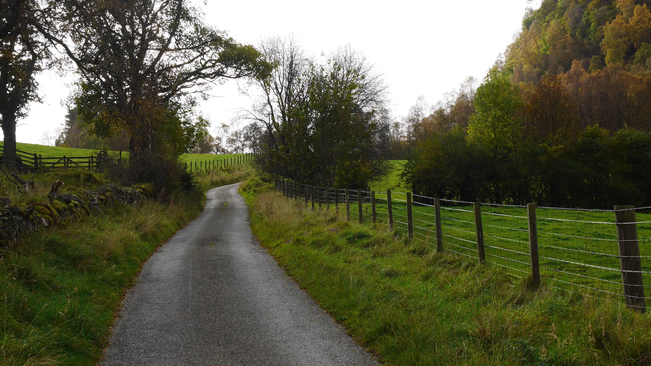
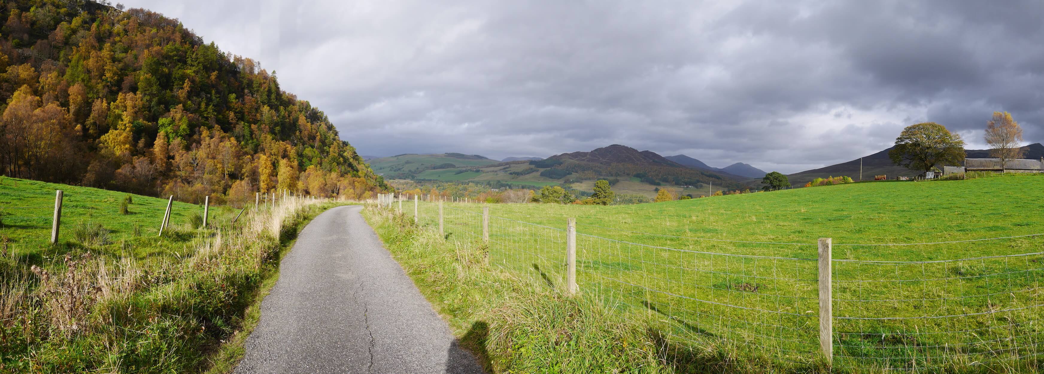
Tenandry Road
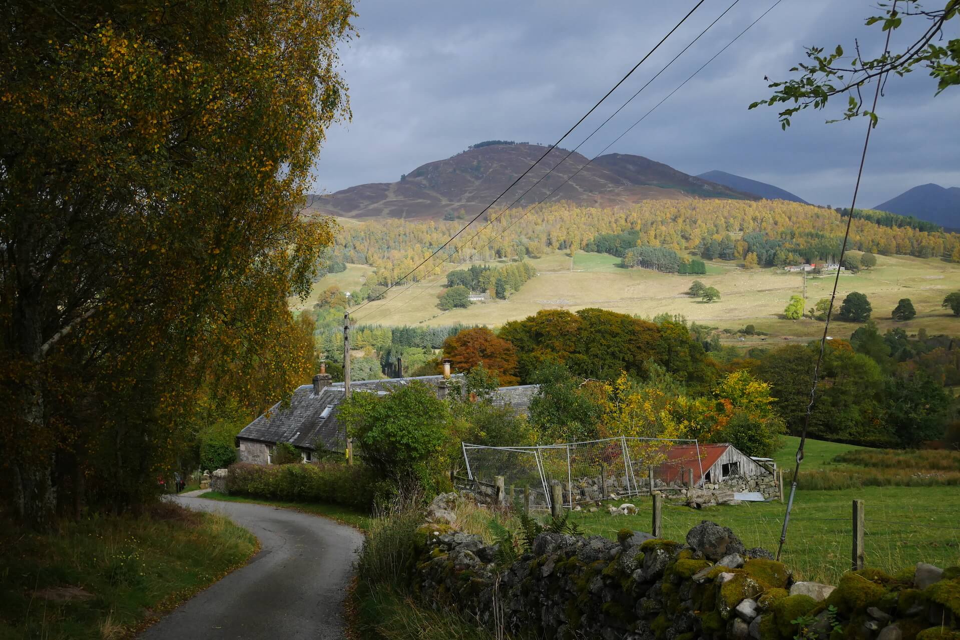
Tenandry Road
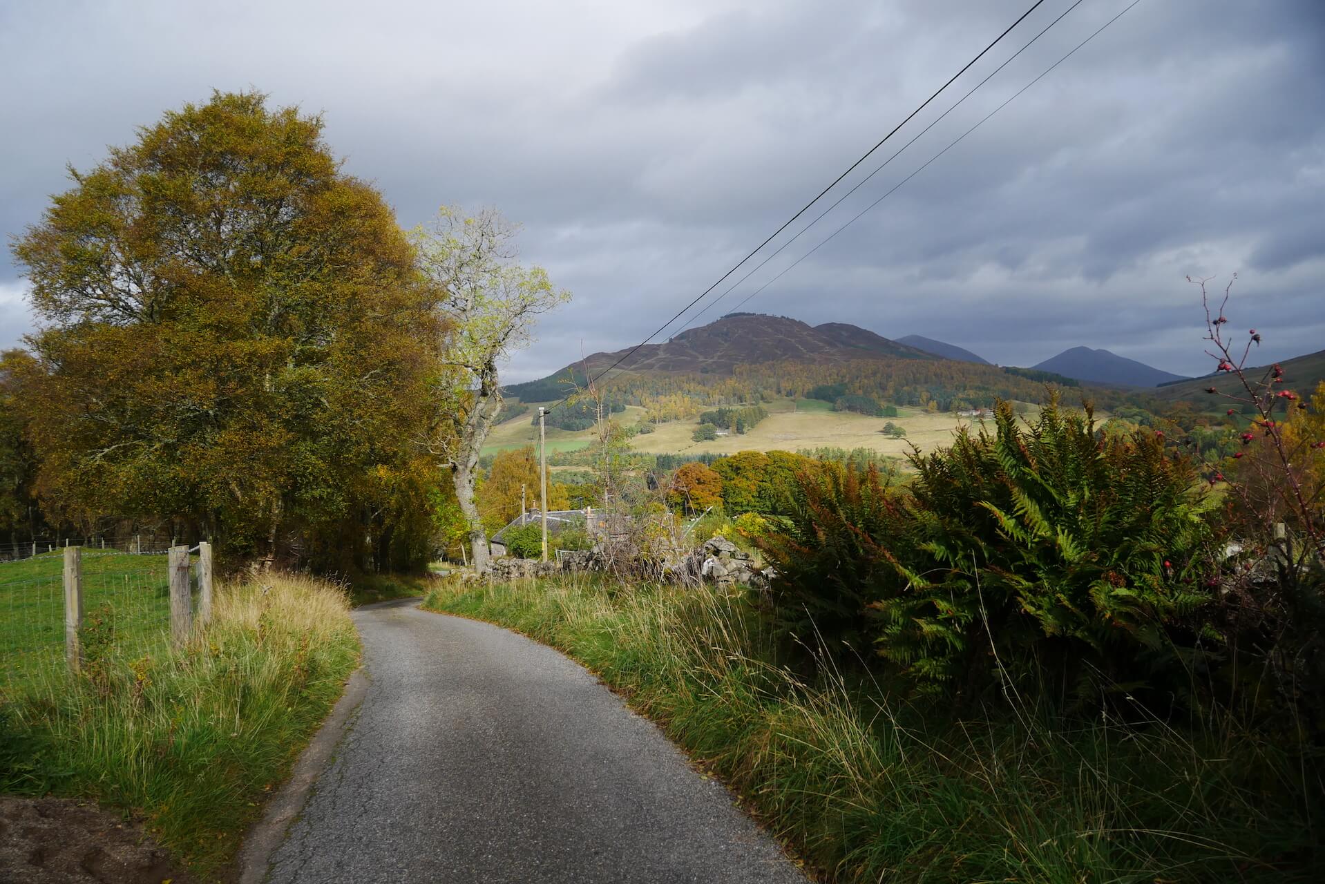
Tenandry Road
Tenandry Road
Tenandry Road
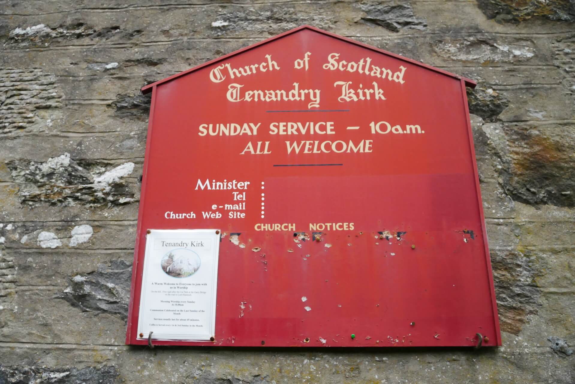
Tenandry Church Sign
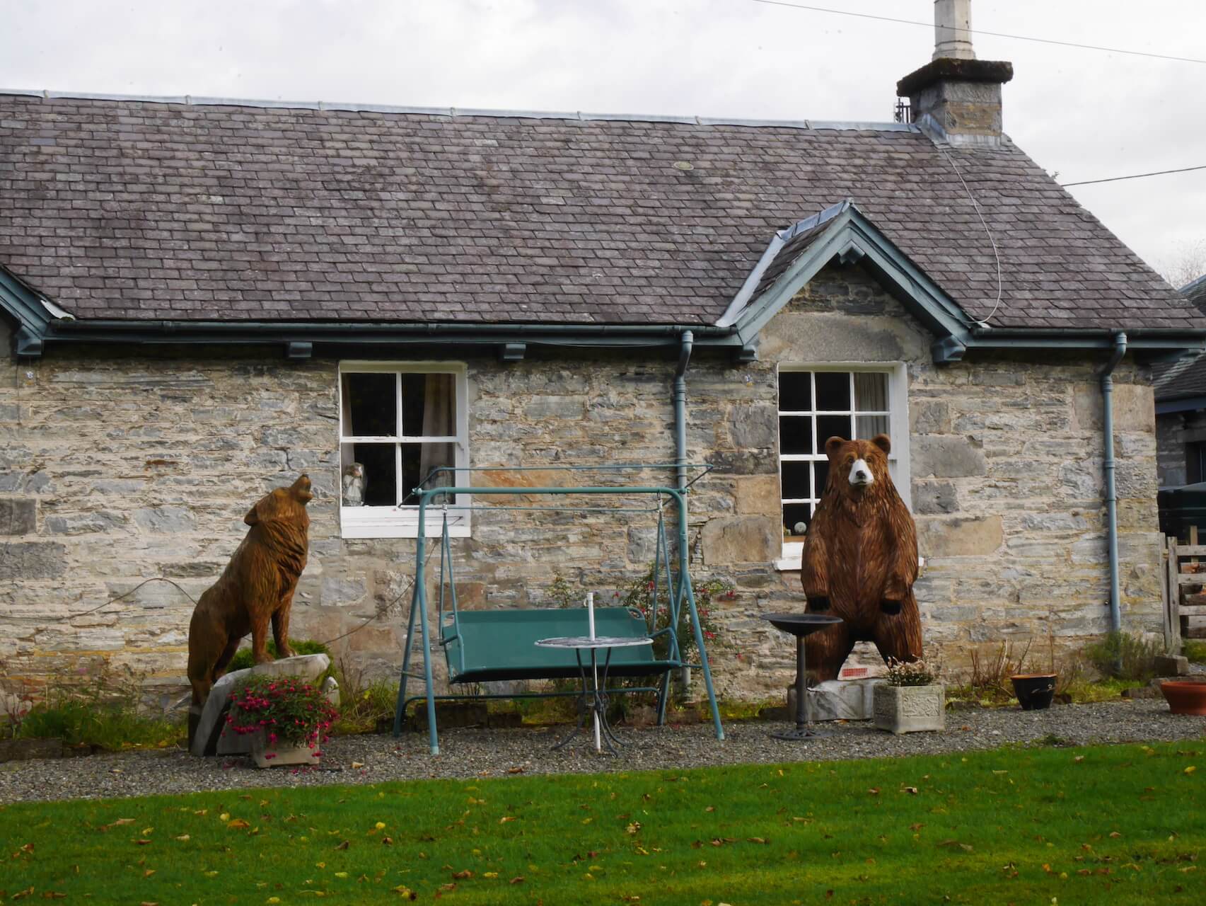
Security Guards - Blair Atholl
Along the River Garry
Along the River Garry
Along the River Garry
Tenandry Road
Tenandry Road
Tenandry Road
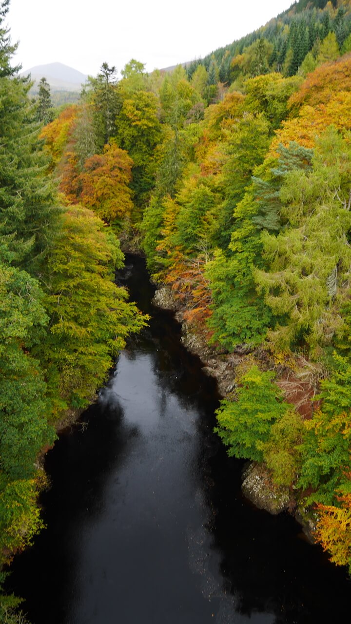
Killiecrankie Gorge
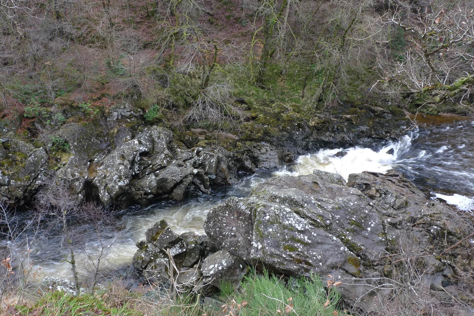
Soldier's Leap
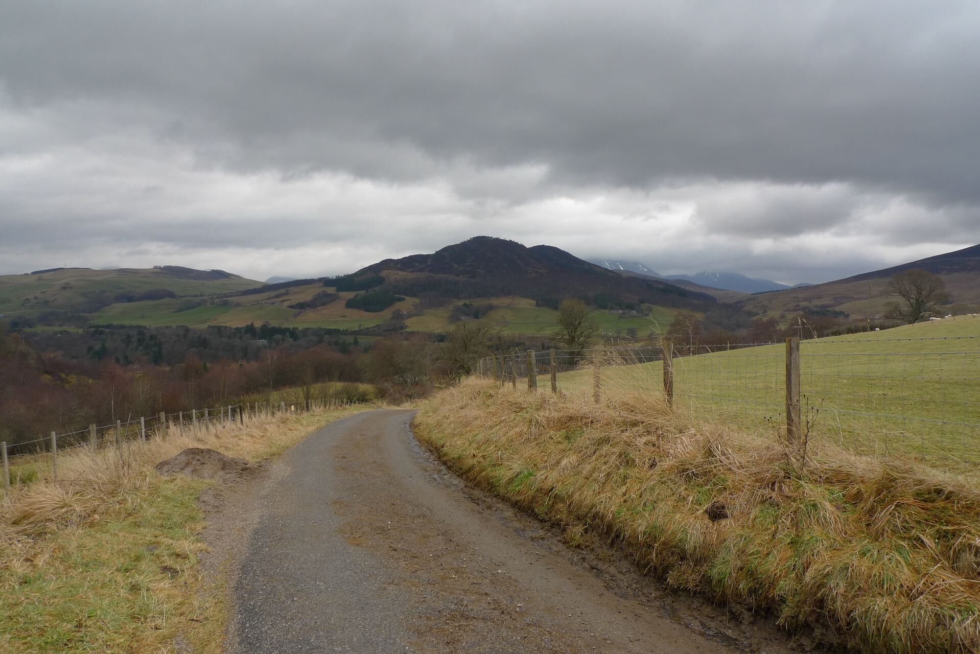
Tenandry Road
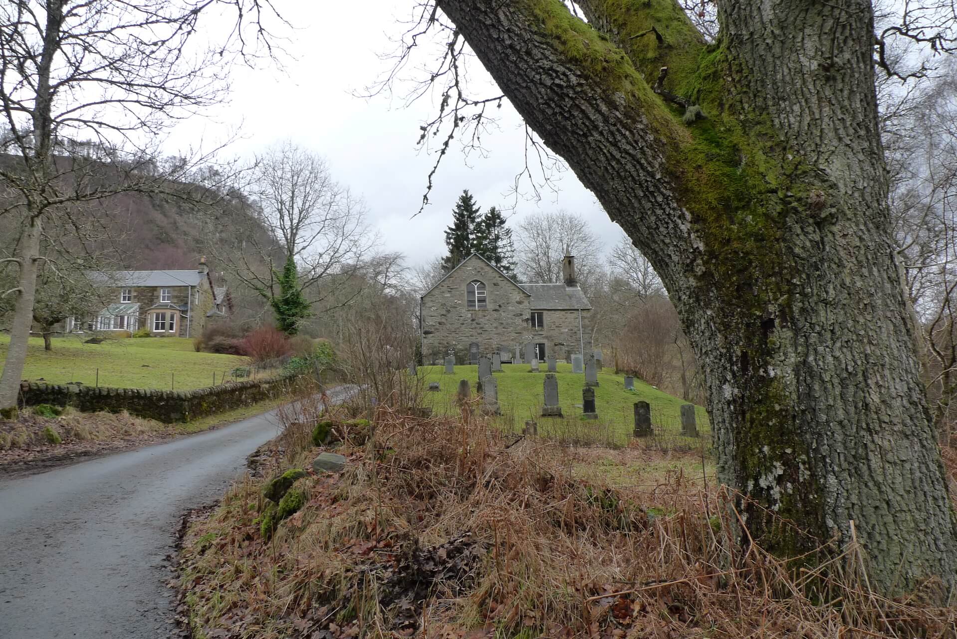
Tenandry Church and Graveyard
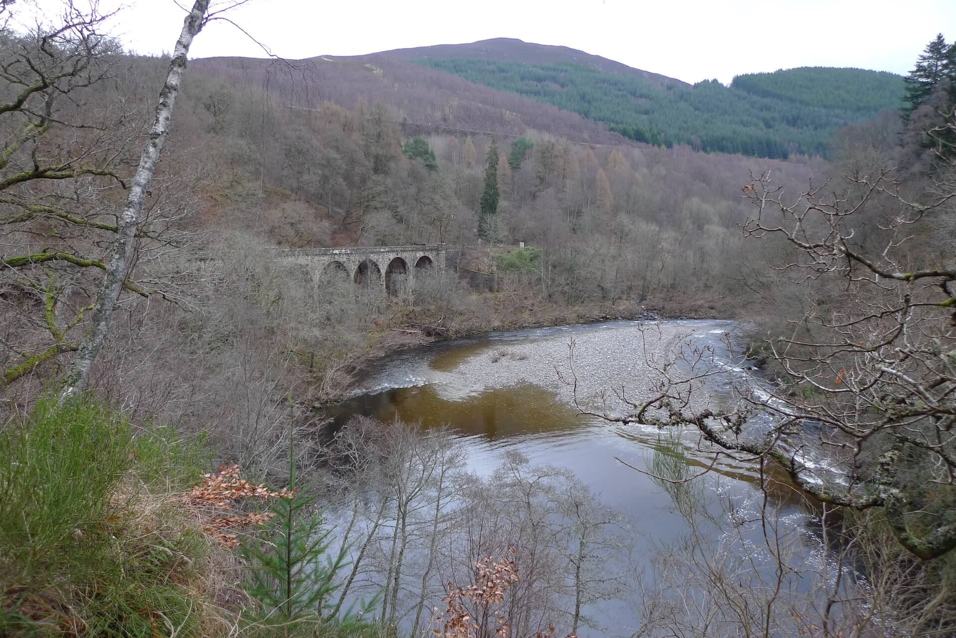
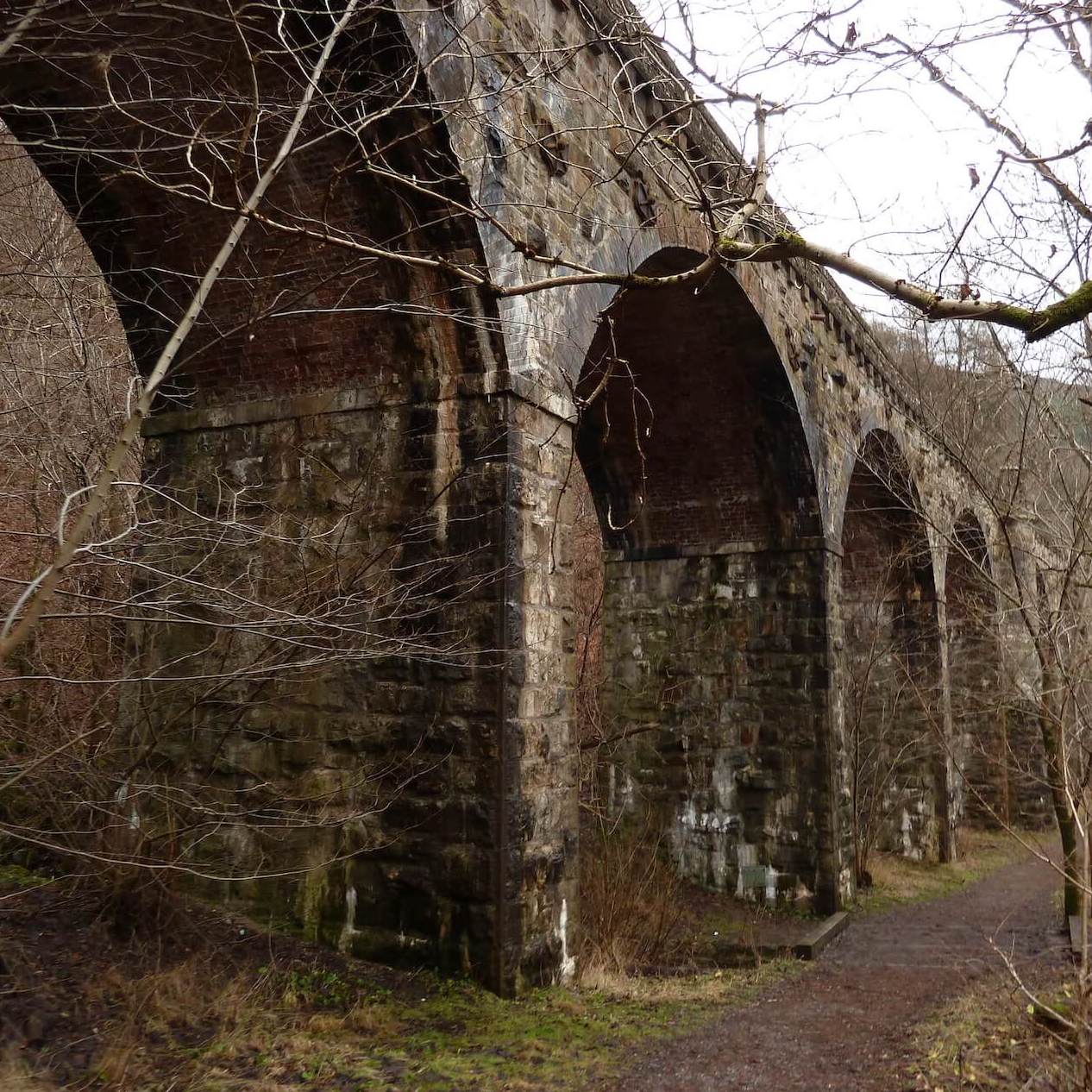
Killiecrankie Viaduct
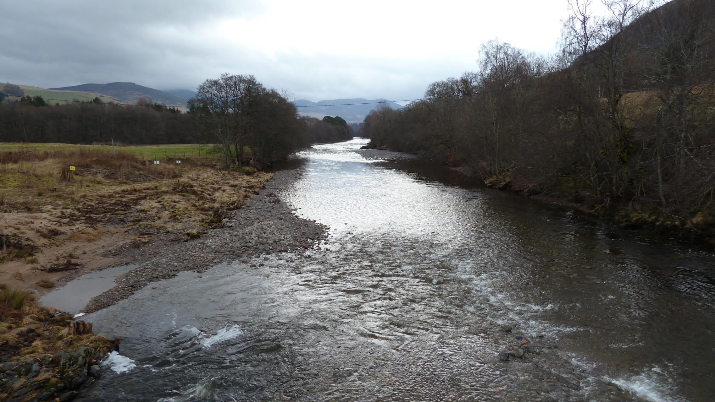
River Garry
Tom Dubh
Route Reviews
If you would like to send a review of Killiecrankie and the Soldier's Leap cycle route, please email us