Glenkiln Loop
Starting from Dumfries Railway Station this route soon leaves the bustling town behind. Before you know it, you're enjoying the rolling countryside, slowly ascending up to the Glenkiln Reservoir. Then it's a lovely descent back down through Irongray and returning to the starting point.
Route Summary
-
- Distance
- 26 miles / 42 km
-
- Time
- 02:10
-
- Ascent
- 1,017 feet / 310 m
-
- Difficulty Level
- Moderate
-
- Terrain
- Road
-
- Start Point
- Dumfries Railway Station
-
- End Point
- Dumfries Railway Station
-
- How to Get There
The Glenkiln Loop is fully accessible via public transport from Dumfries Railway Station
-
- Downloads
- Download GPX
Route Map
Gallery
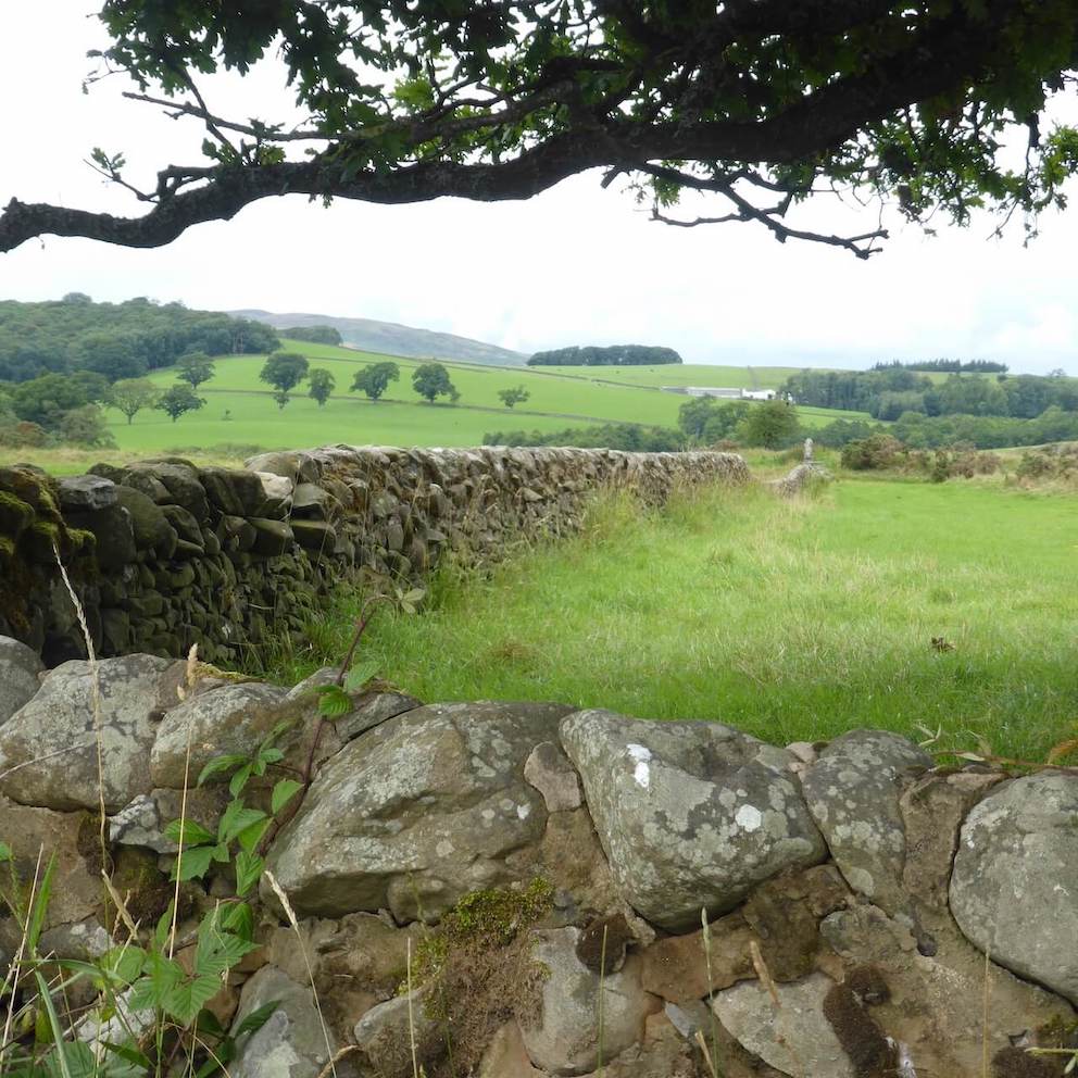
Stone Walls
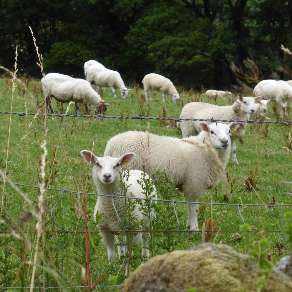
Lambs
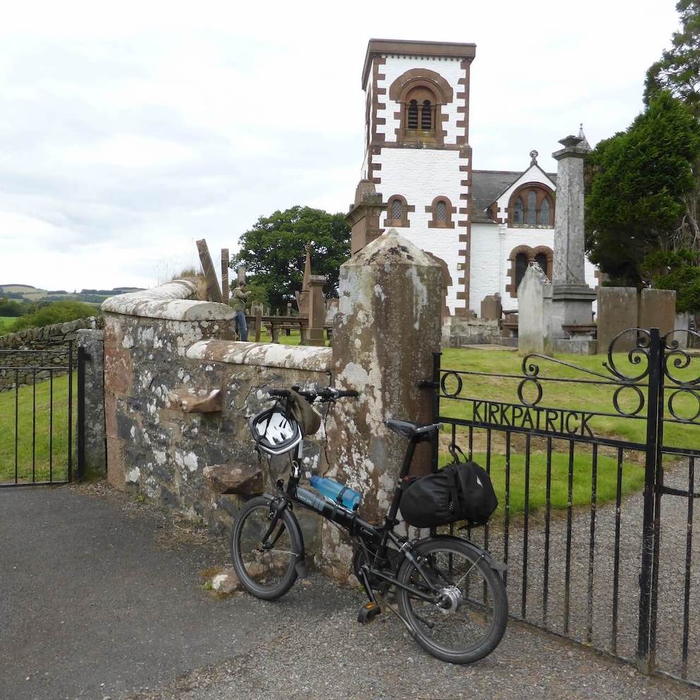
Irongray Church
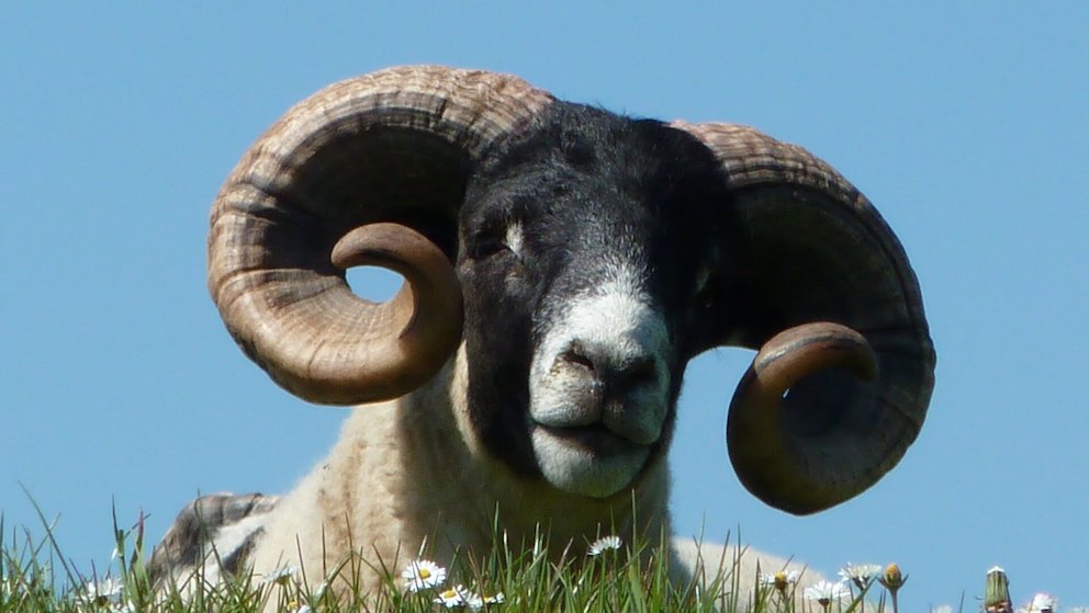
Curly Wurly
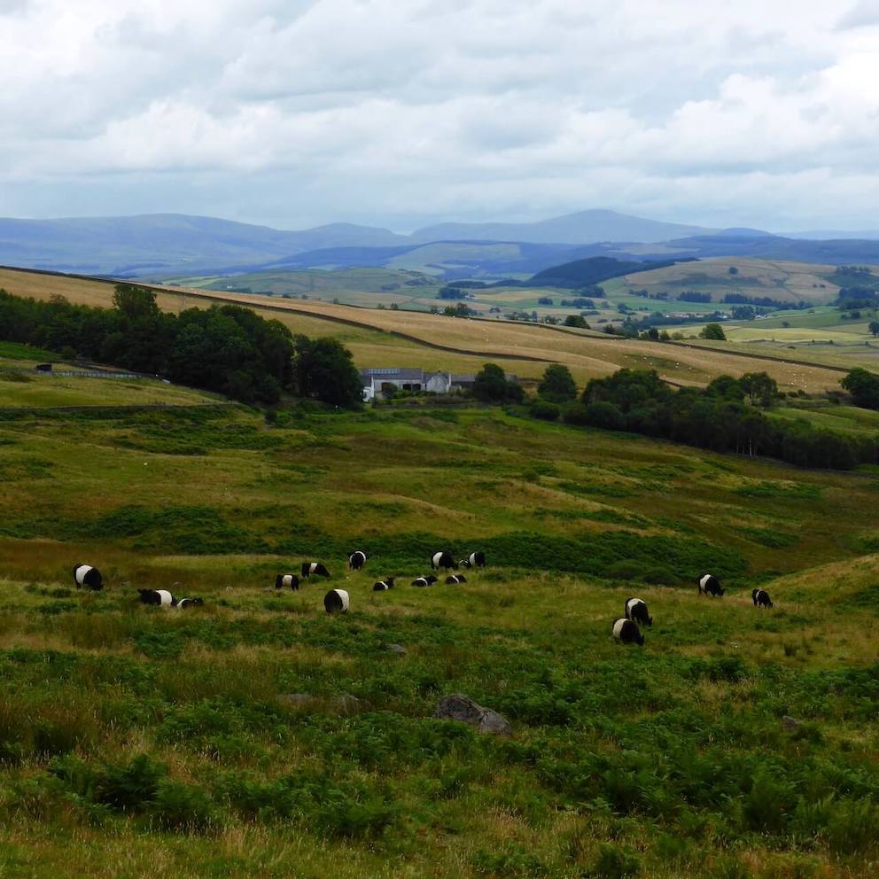
Belties
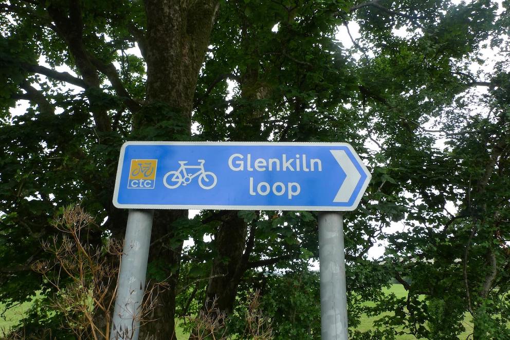
Follow the sign!
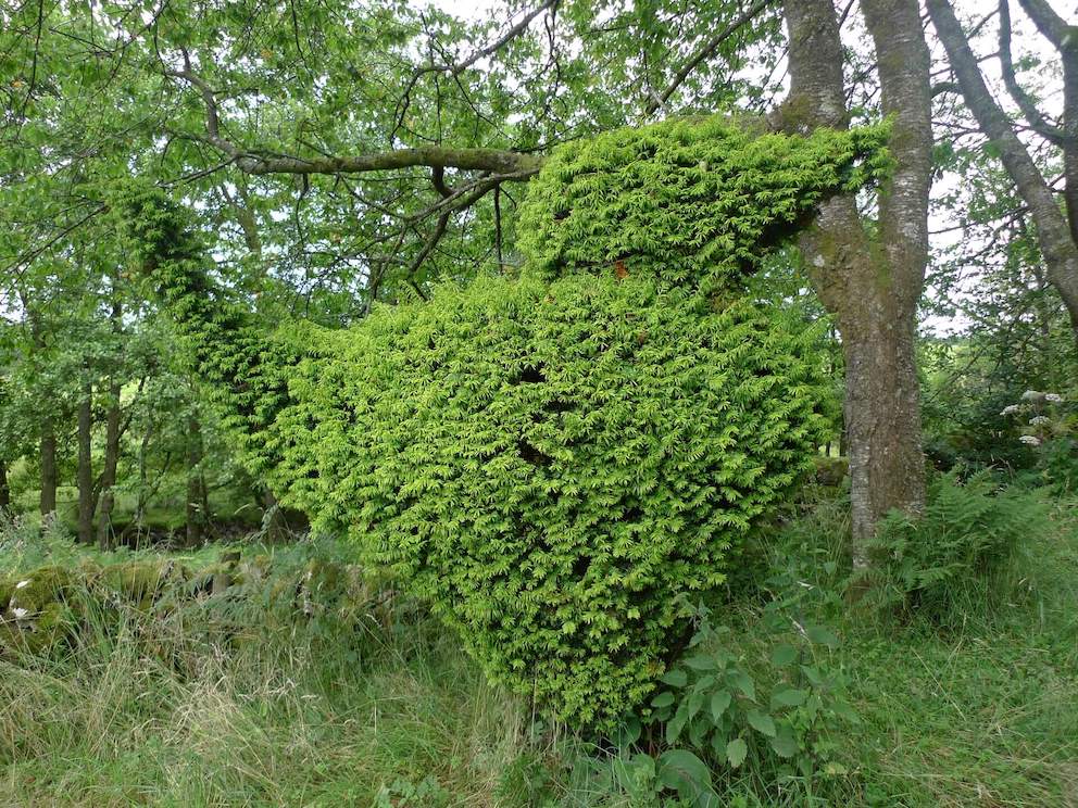
Big Bird
Route Reviews
If you would like to send a review of Glenkiln Loop cycle route, please email us