Lochboisdale Loop
South Uist and other islands of the Outer Hebrides boast some of the most beautiful beaches on earth. If the climate were any warmer, the soft white sands and turquoise waters would probably be inundated with tourists. Thankfully this isn't the case and their remoteness and tranquility are part of what makes them so special. This circular route follows the shoreline on parts of the Hebridean Way and National Cycle Route 780.
Route Summary
-
- Distance
- 25 miles / 41 km
-
- Time
- 02:48
-
- Ascent
- 328 feet / 100 m
-
- Difficulty Level
- Moderate
-
- Terrain
- Mixed
-
- Start Point
- Lochboisdale
-
- End Point
- Lochboisdale
-
- How to Get There
Lochboisdale is linked via ferry from Mallaig or Oban
-
- Downloads
- Download GPX
Route Map
Gallery
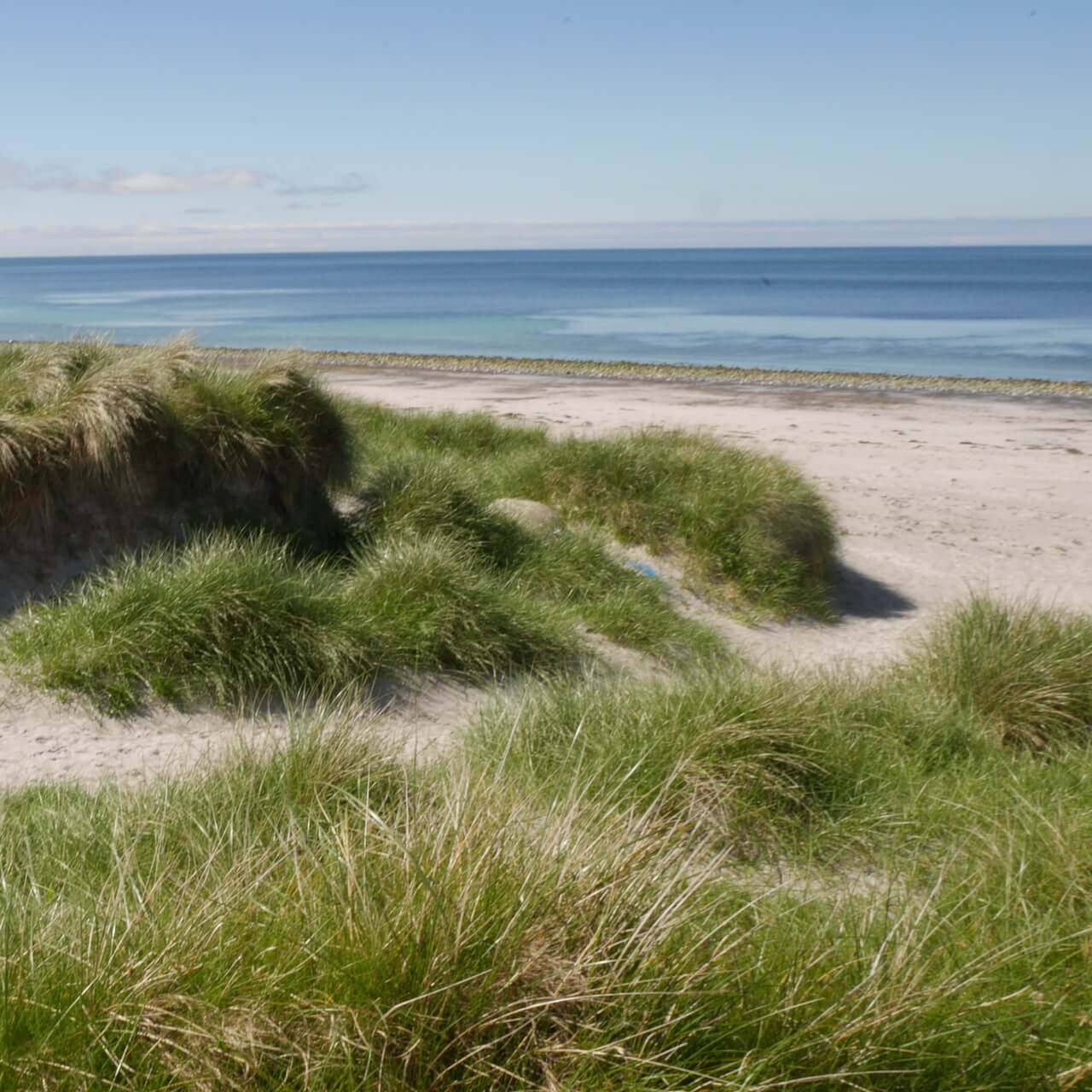
Boisdale Beach
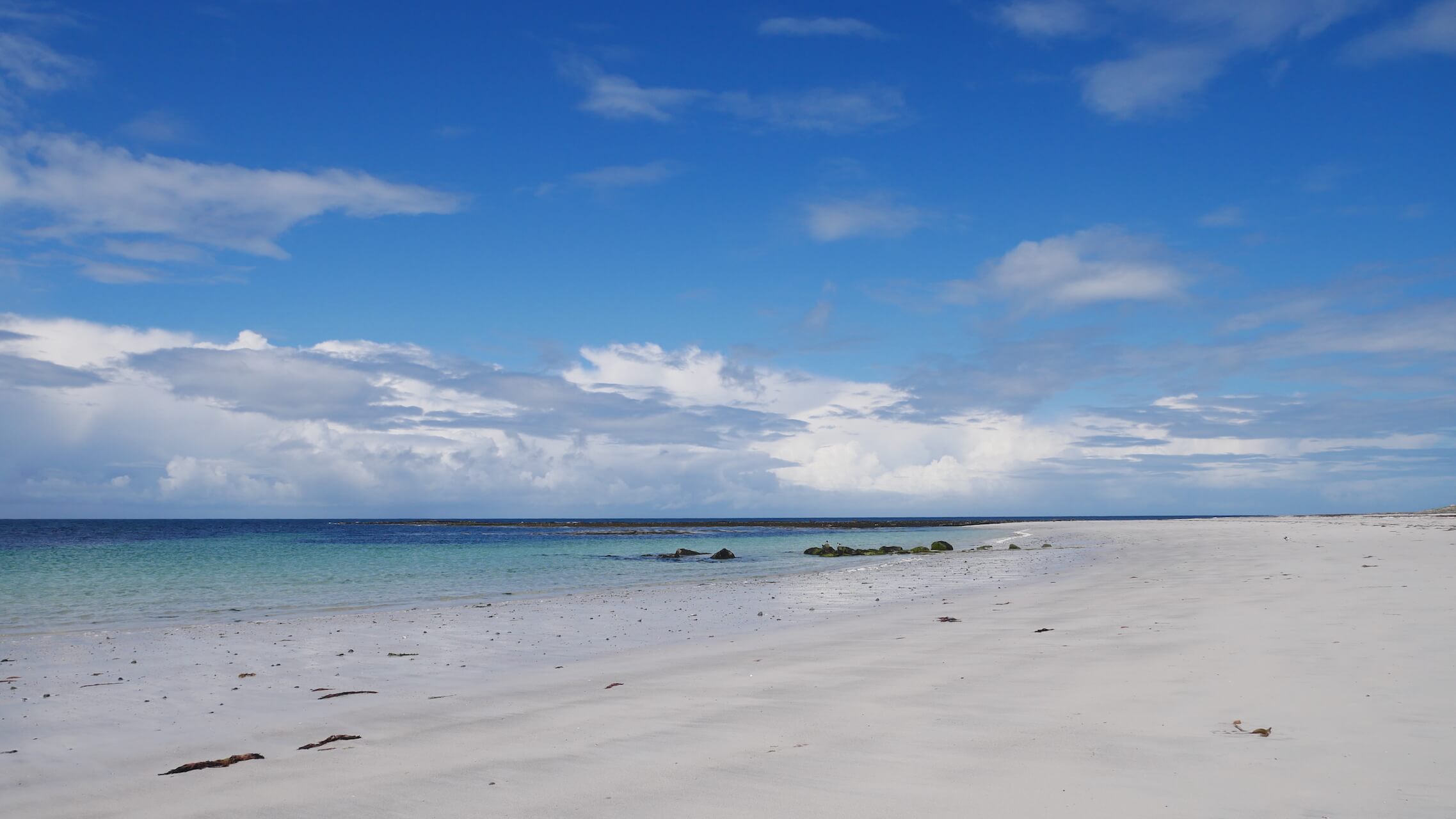
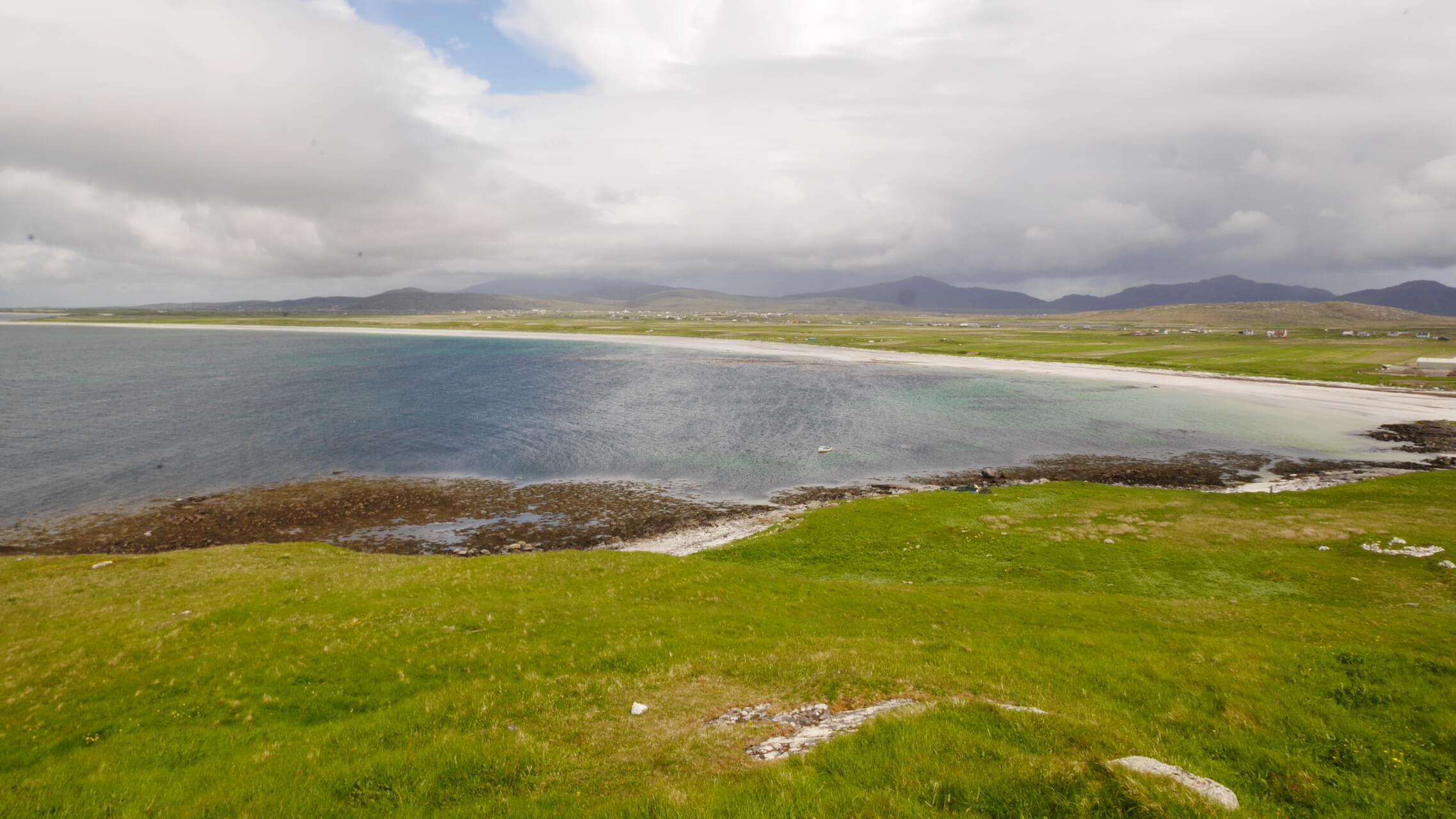
South Uist from Orasaigh Island
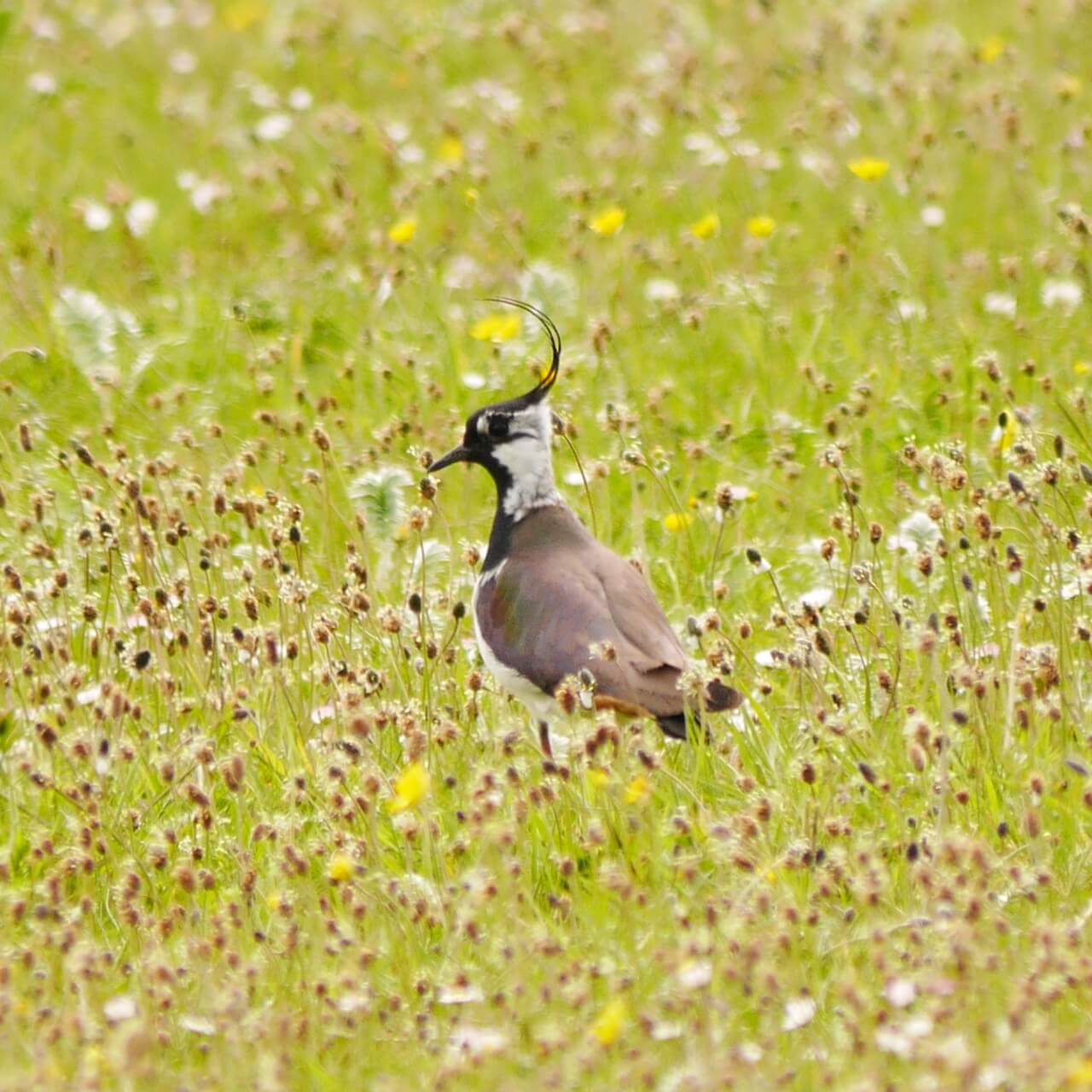
Lapwing
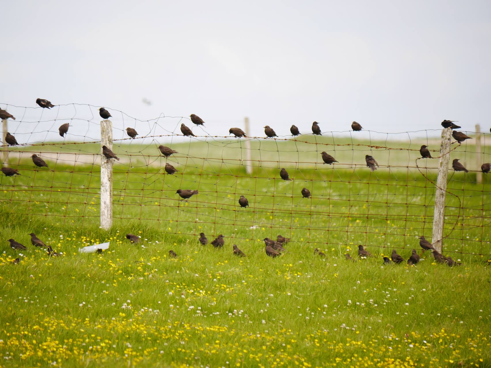
On the fence
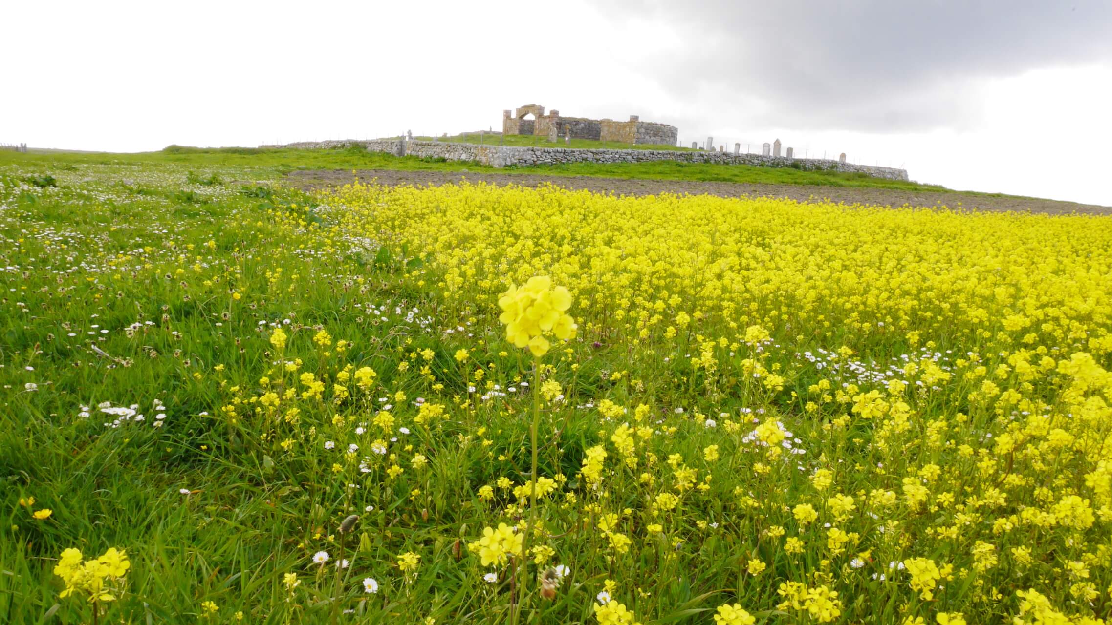
North Boisdale Cemetery
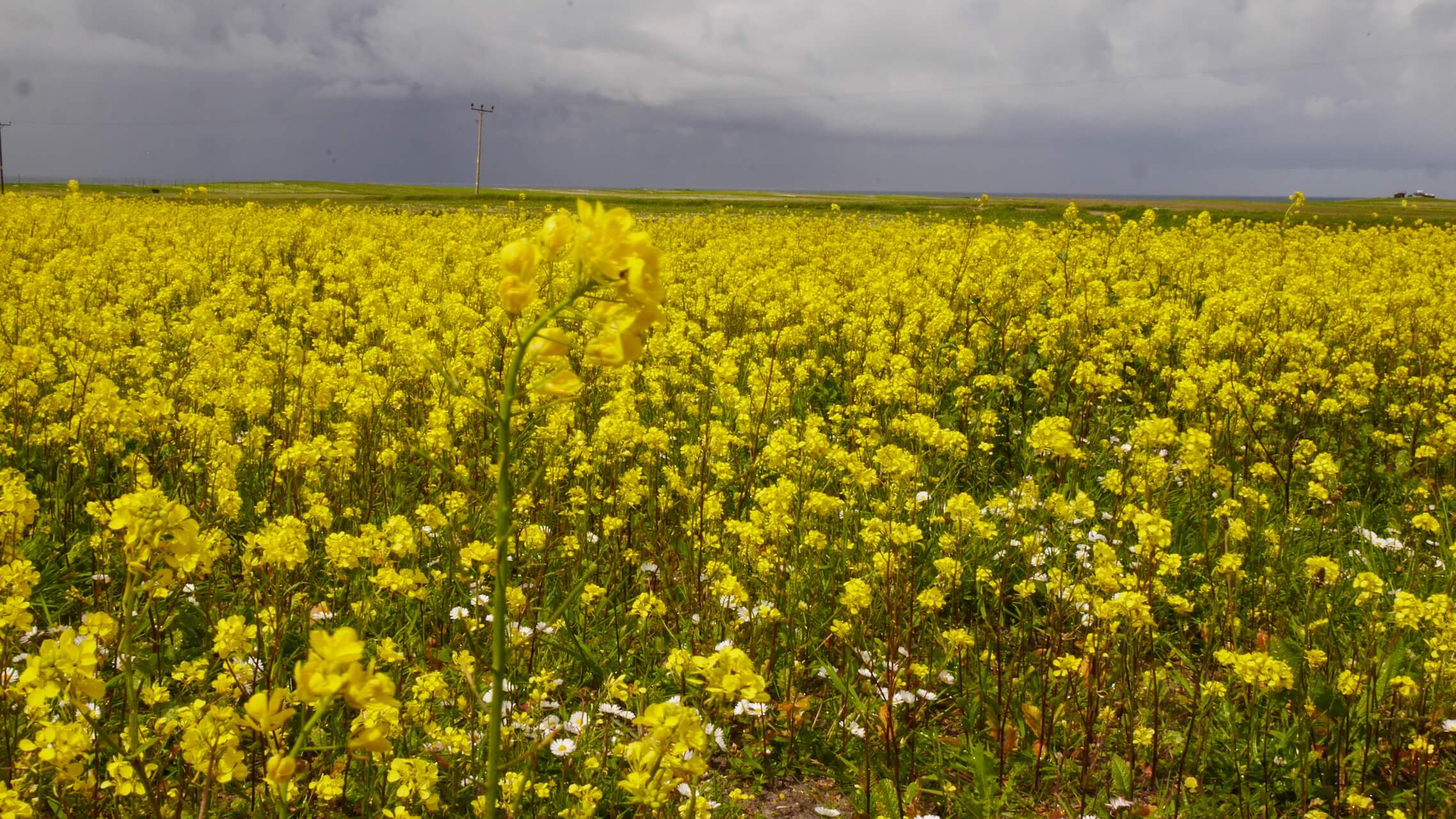
Machair near Boisdale
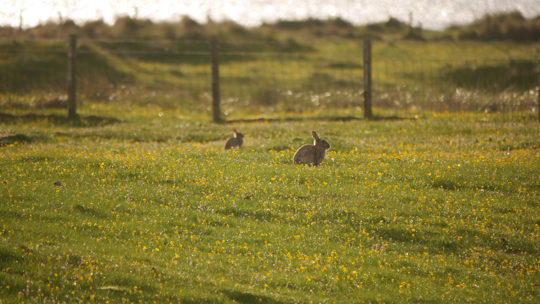
Machair Bunnies
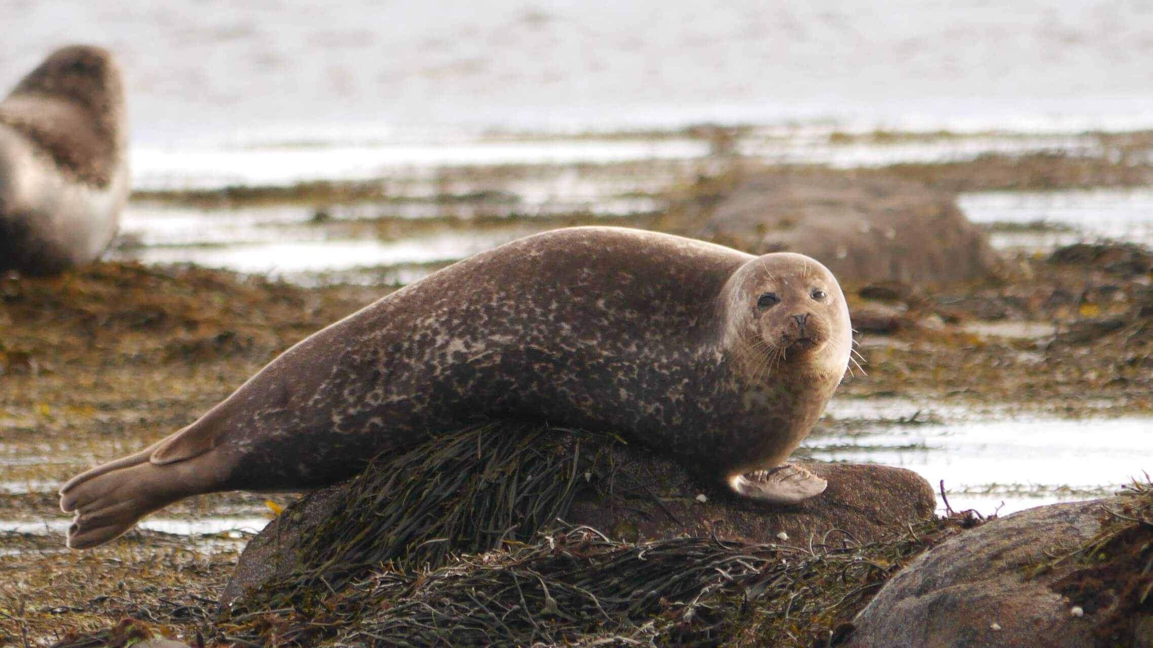
Seals near North Boisdale
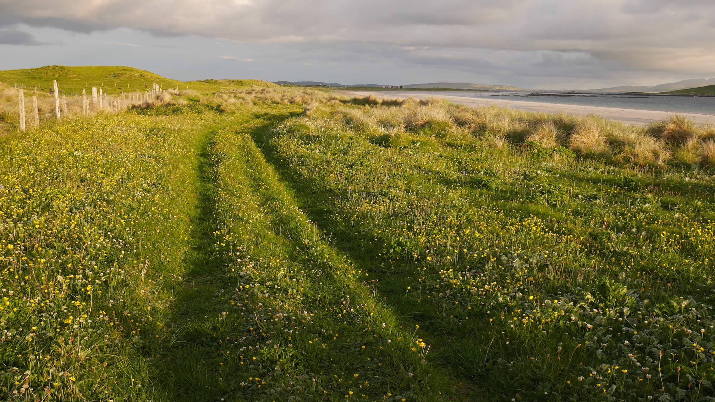
Hebridean Way
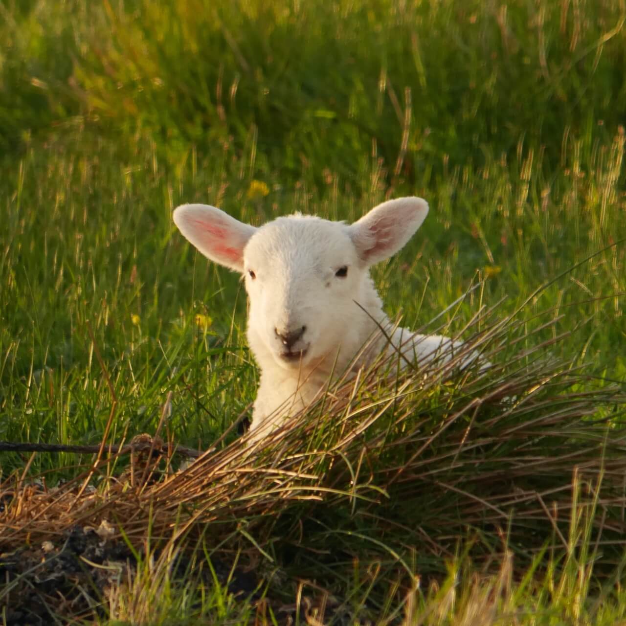
Lazy Lamb
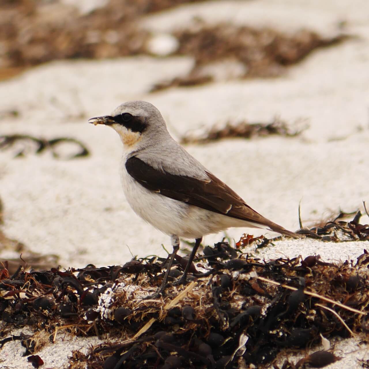
Wheatear
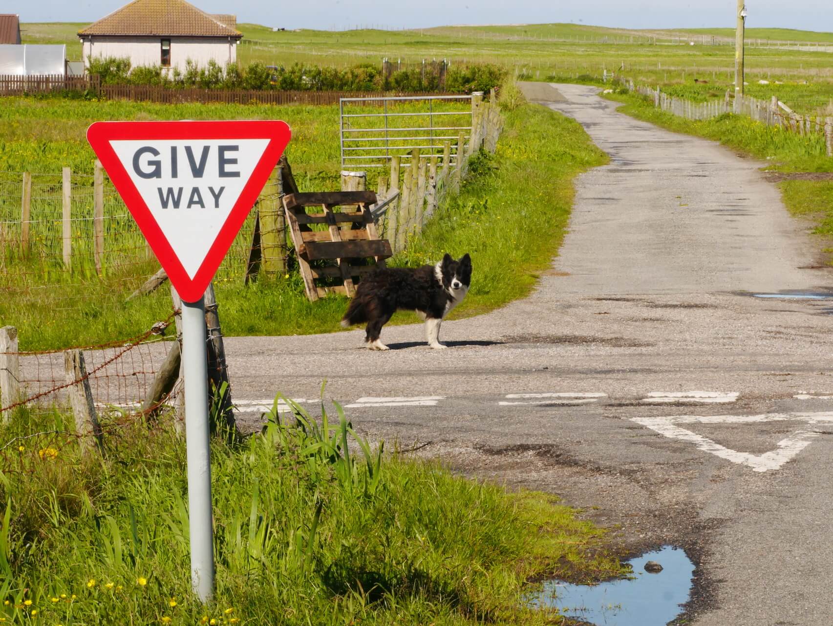
Crossing Guard
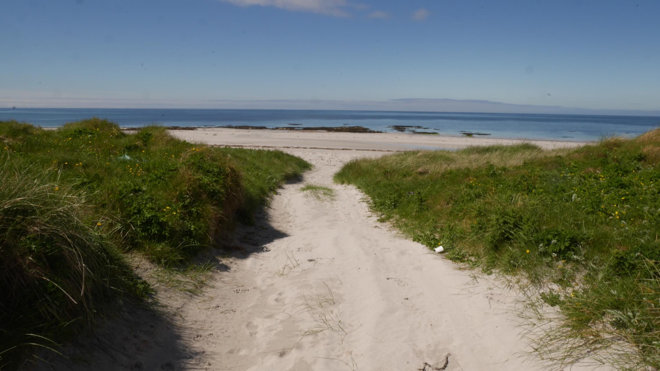
Near the Hebridean Way
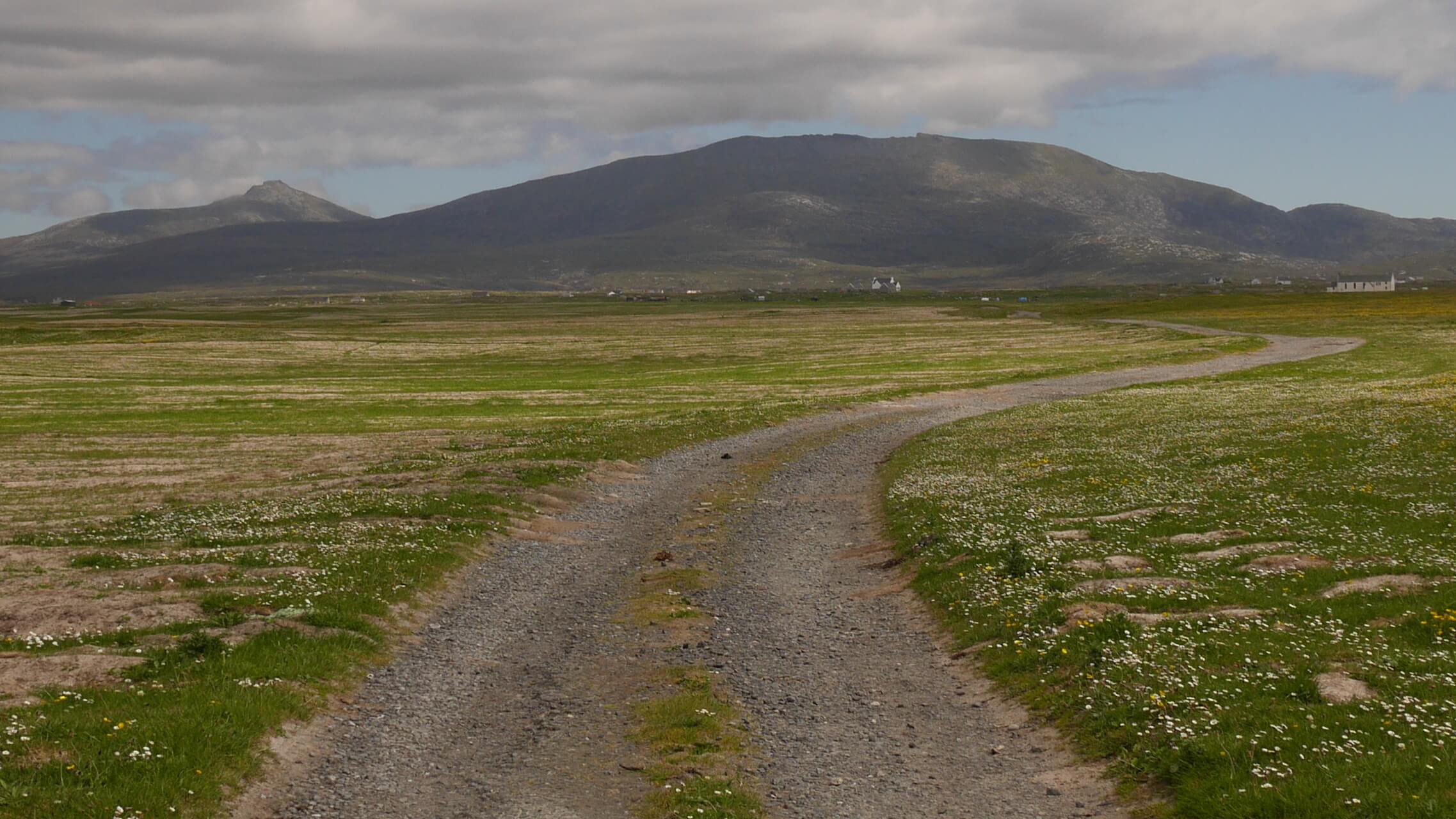
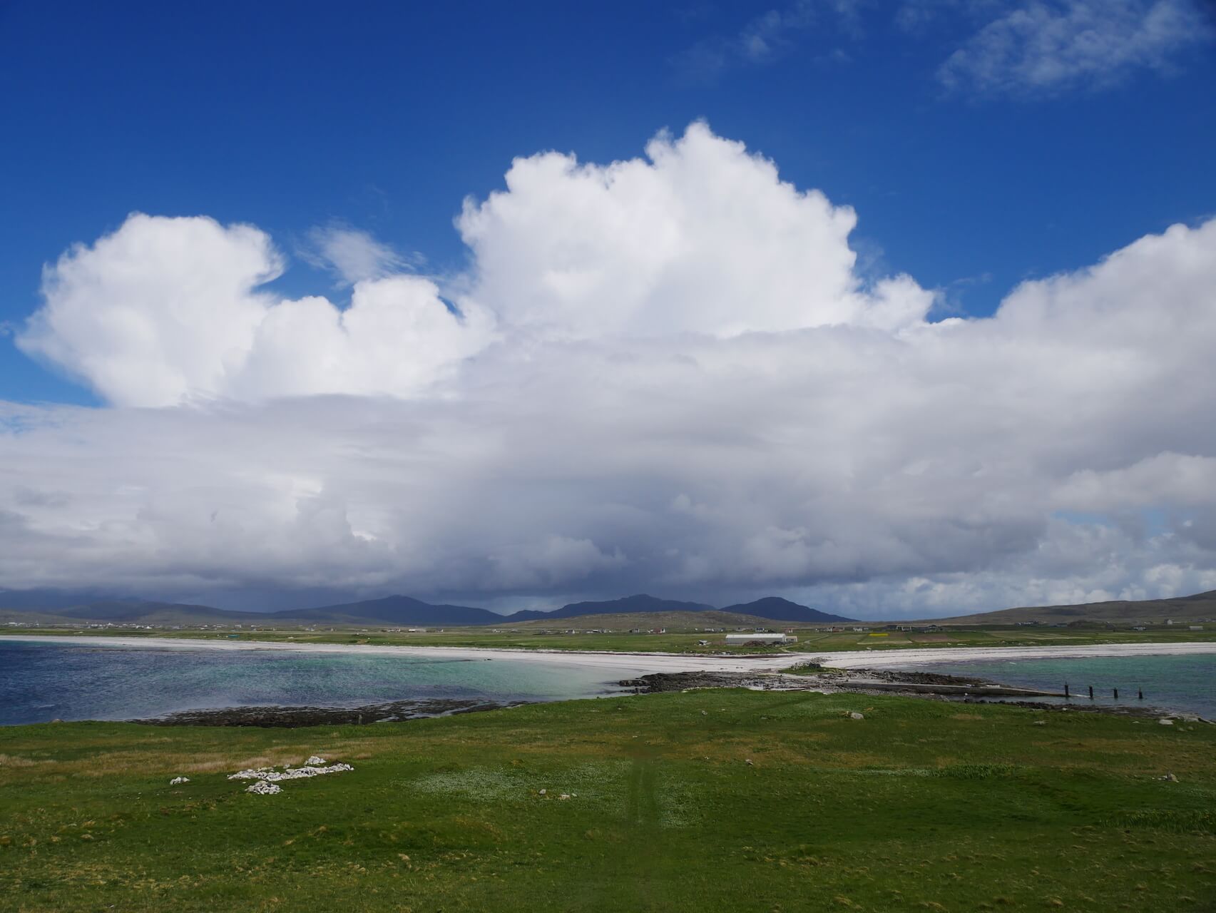
Beinn Mhòr, South Uist
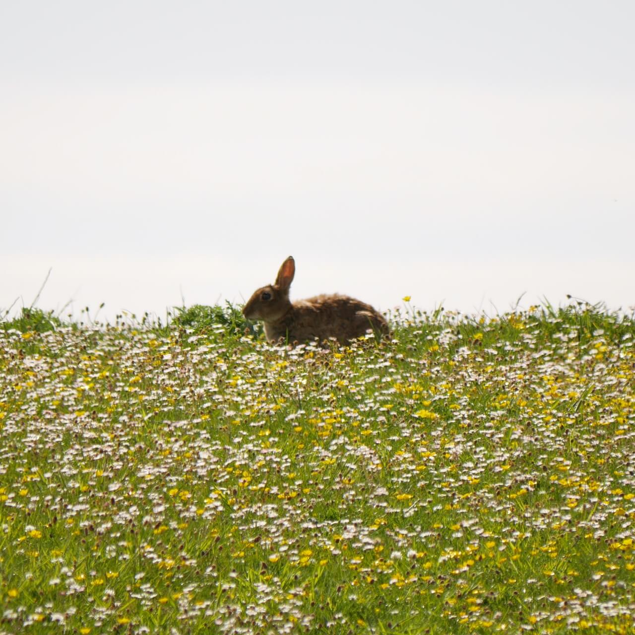
Machair Bunny
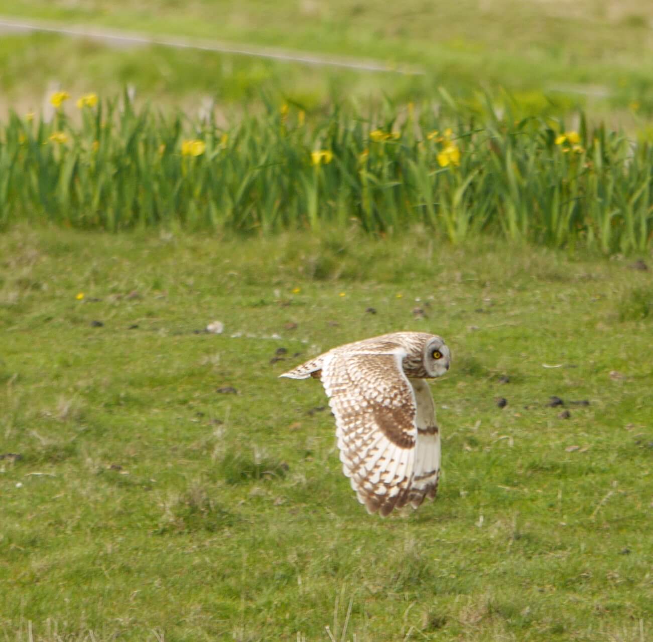
Short-eared owl
Route Reviews
If you would like to send a review of Lochboisdale Loop cycle route, please email us