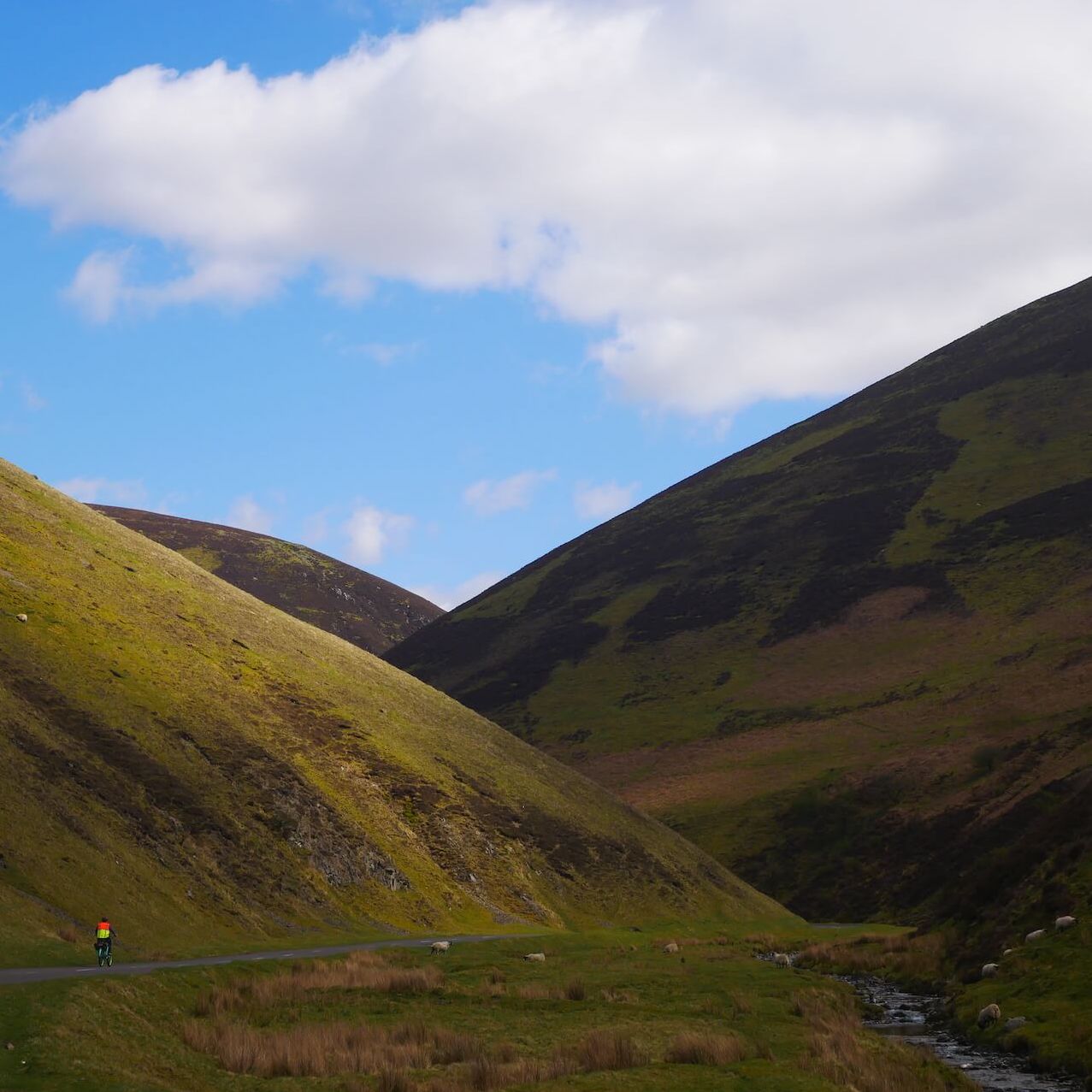
Mennock Pass
Your legs will get a workout on this loop up into the Lowther Hills from Sanquhar. If you're a railway or history buff, you may want to stop off for a jaunt on the narrow gauge railway or find out more about how the mining industry shaped this unique part of Scotland. In Sanquhar you can buy some distinctive knitwear or stop to experience the otherwordly Crawick Multiverse.
Route Summary
-
- Distance
- 32 miles / 52 km
-
- Time
- 02:45
-
- Ascent
- 1,903 feet / 580 m
-
- Difficulty Level
- Strenuous
-
- Terrain
- Mixed
-
- Start Point
- Sanquhar
-
- End Point
- Sanquhar
-
- How to Get There
This route is accessible via Sanquhar Railway Station
-
- Downloads
- Download GPX
Route Map
Gallery
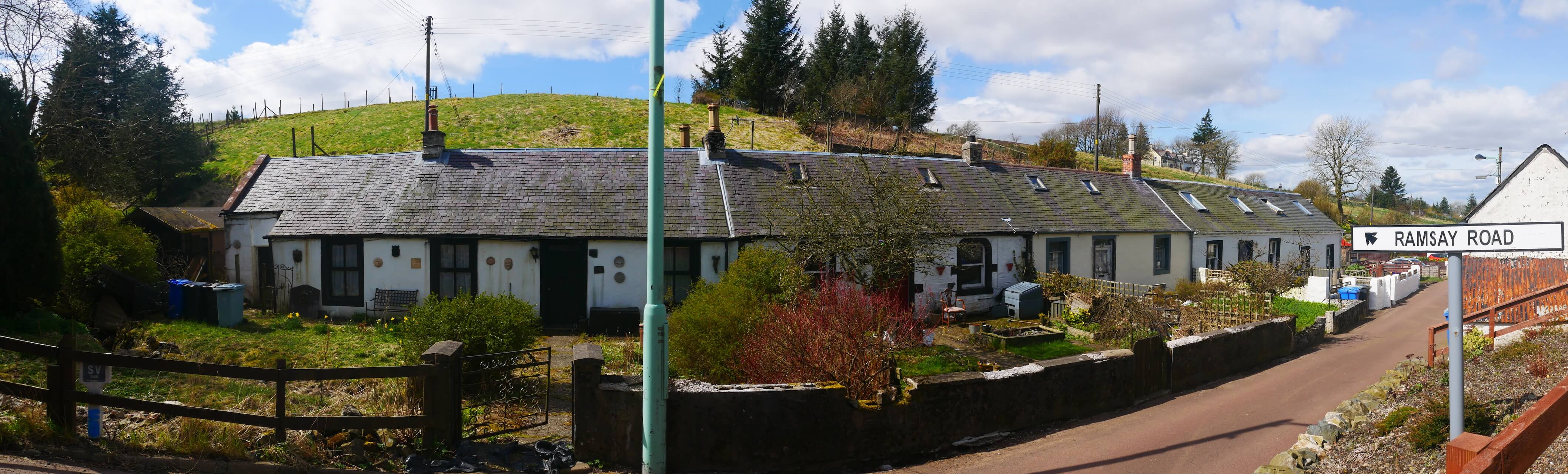
Old Mains Road
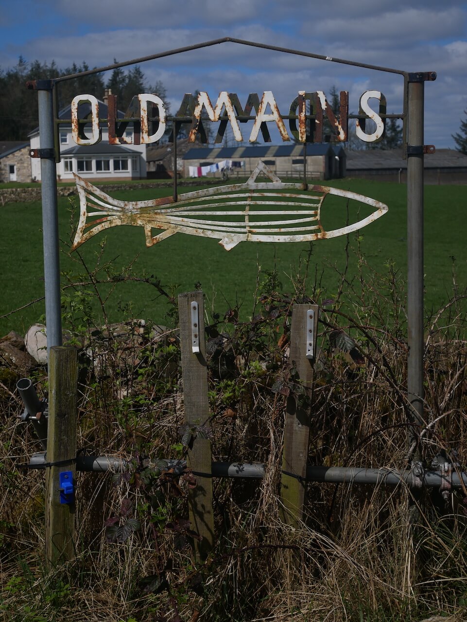
Old Mains Fishing
Mennock Pass Start
Mennock Water
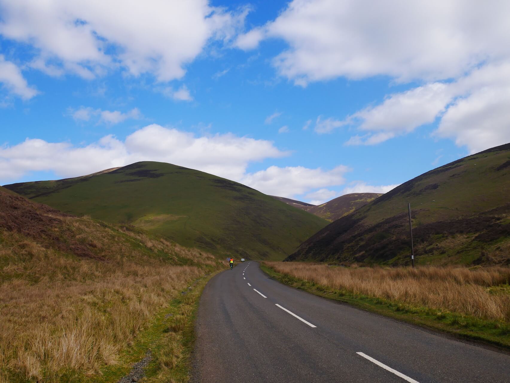
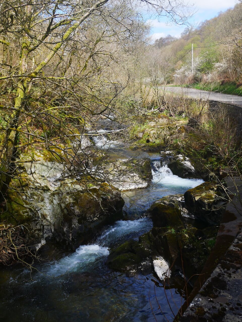
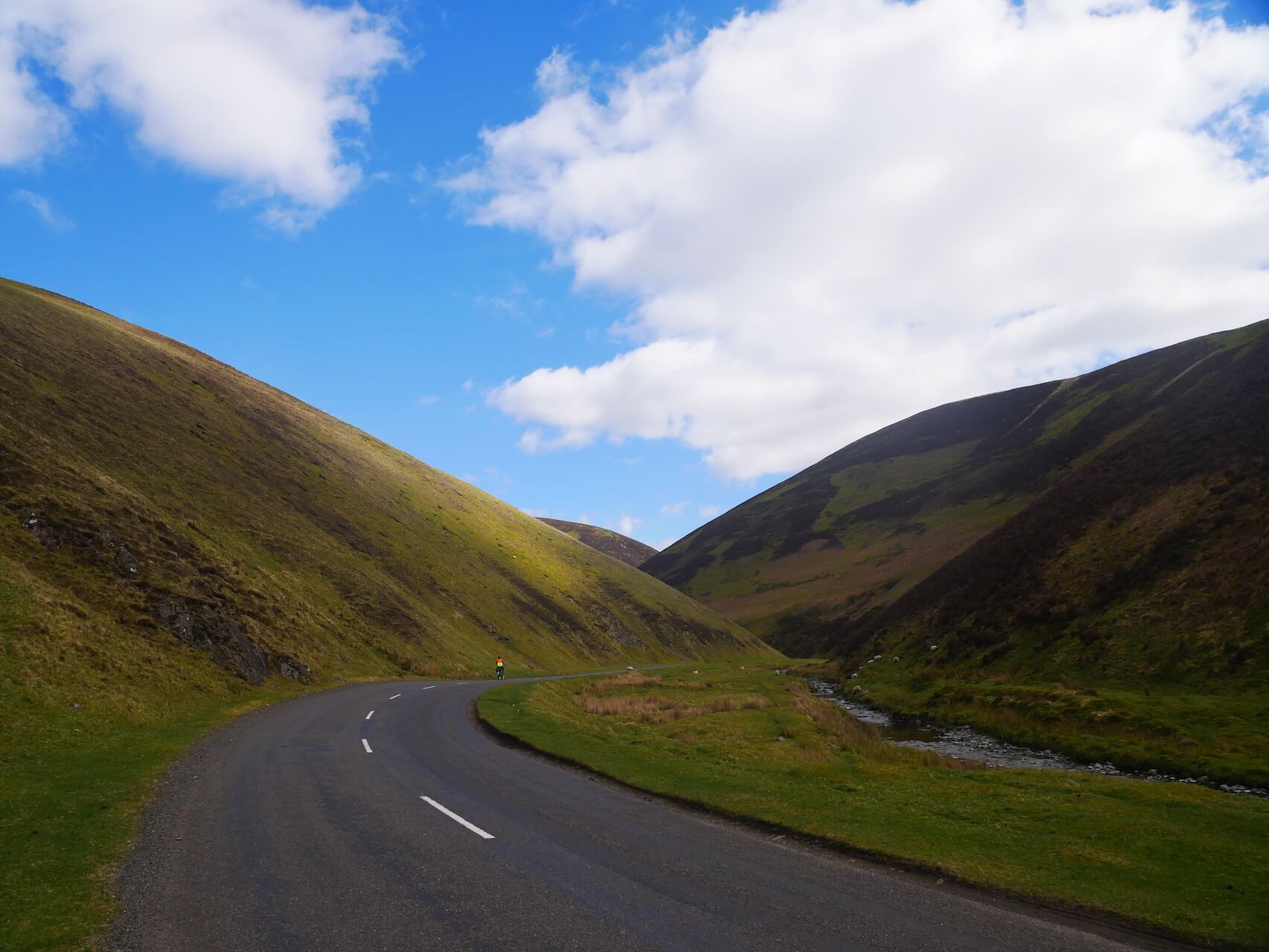
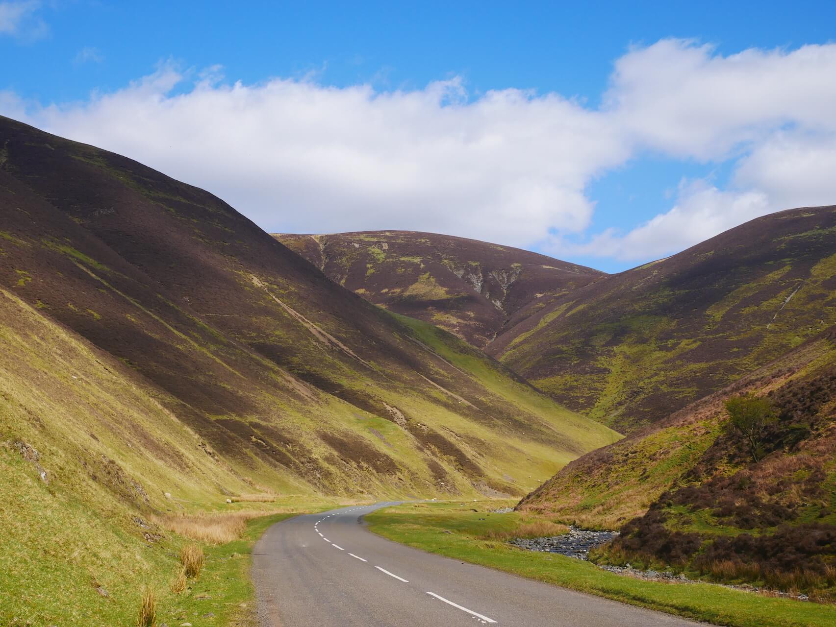
Mennock Pass
Mennock Pass
Mennock Pass
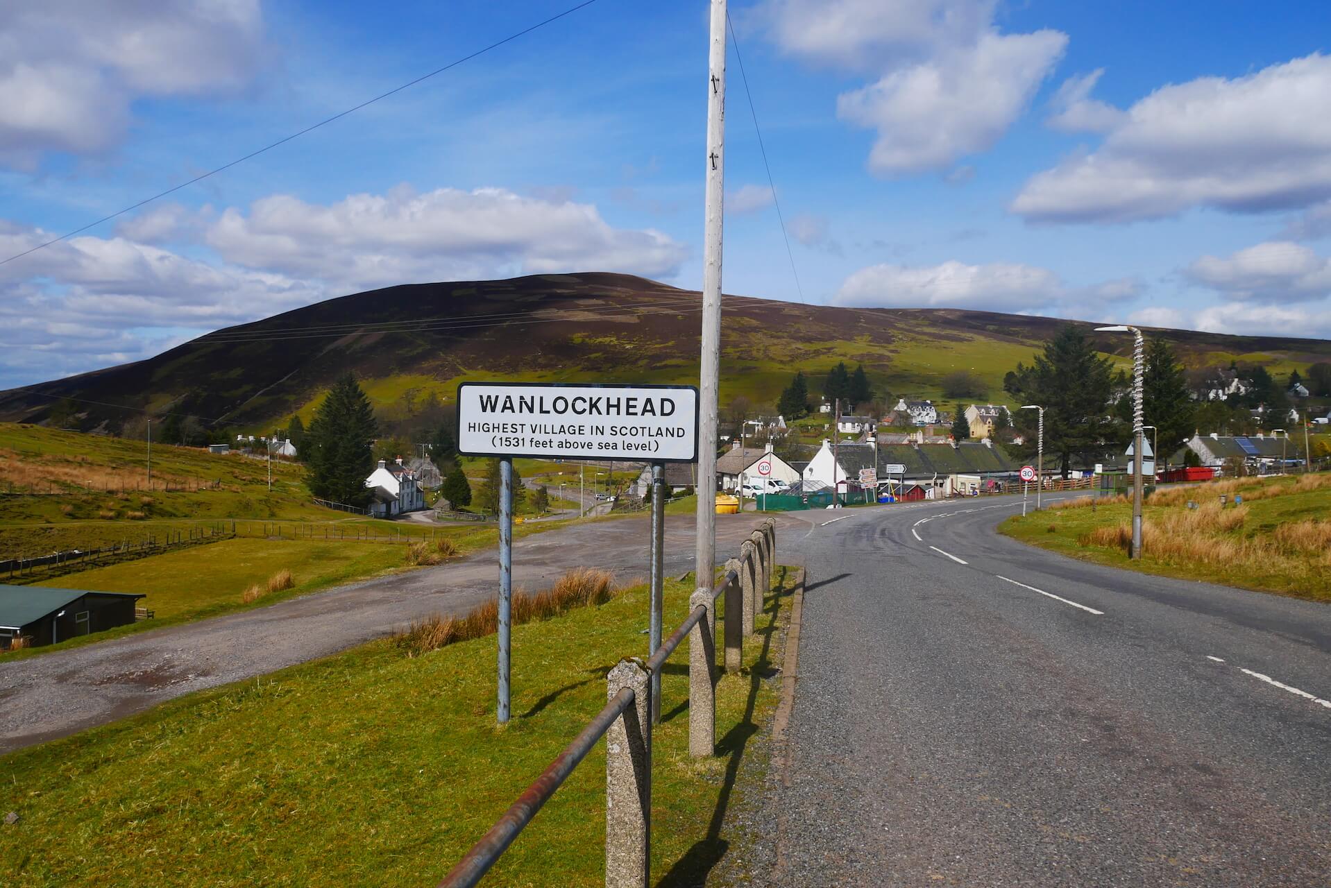
Wanlockhead Sign
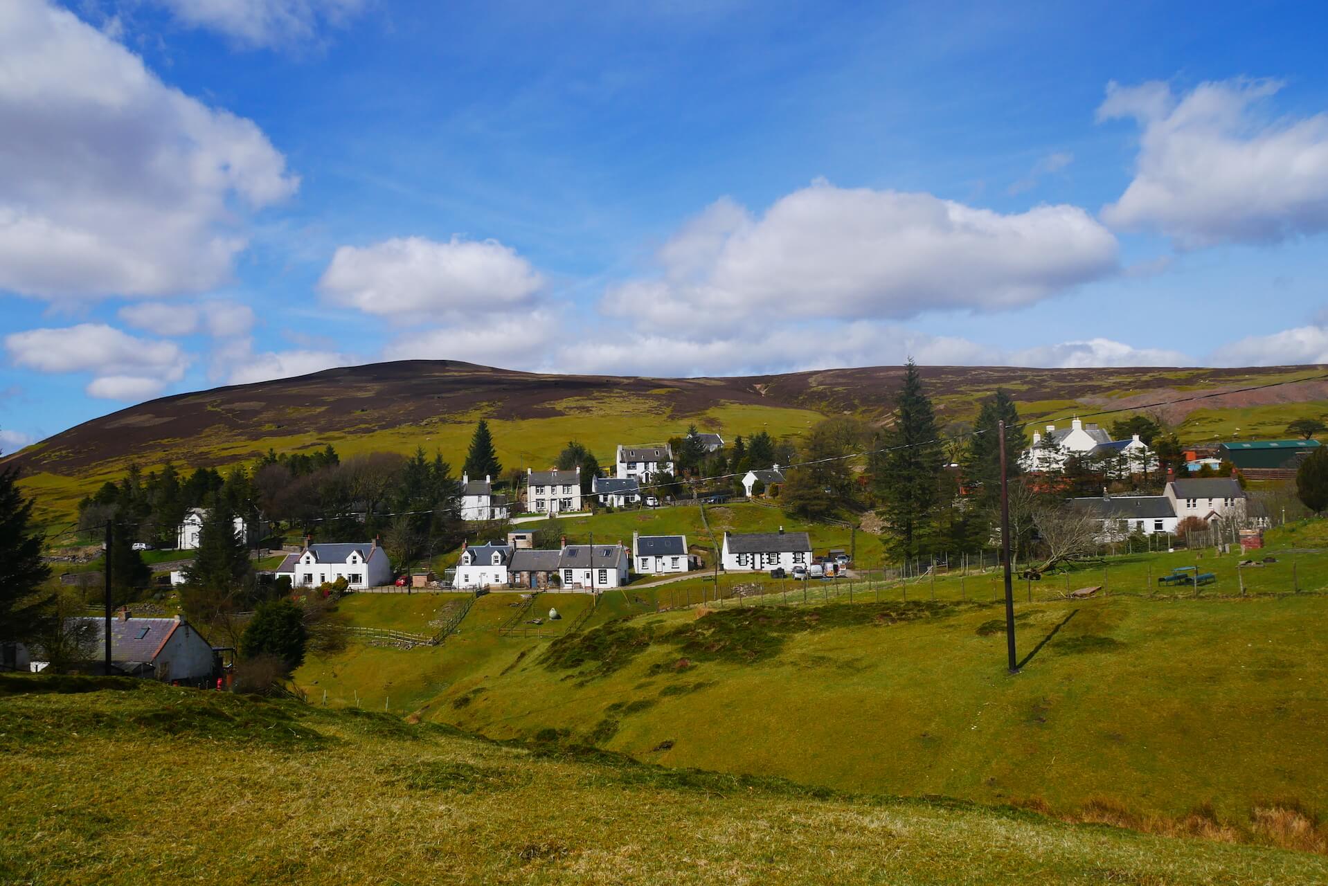
Wanlockhead Cottages
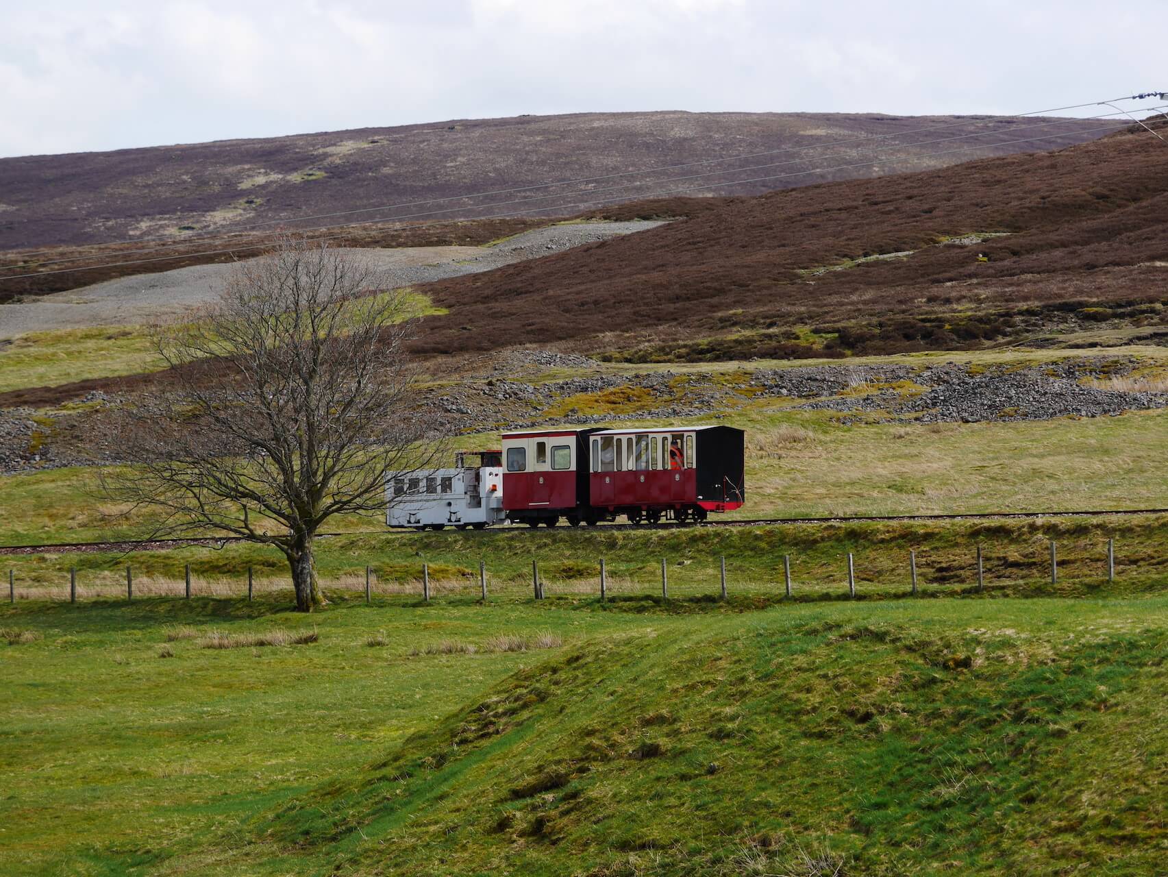
Leadhills Narrow Gauge Railway
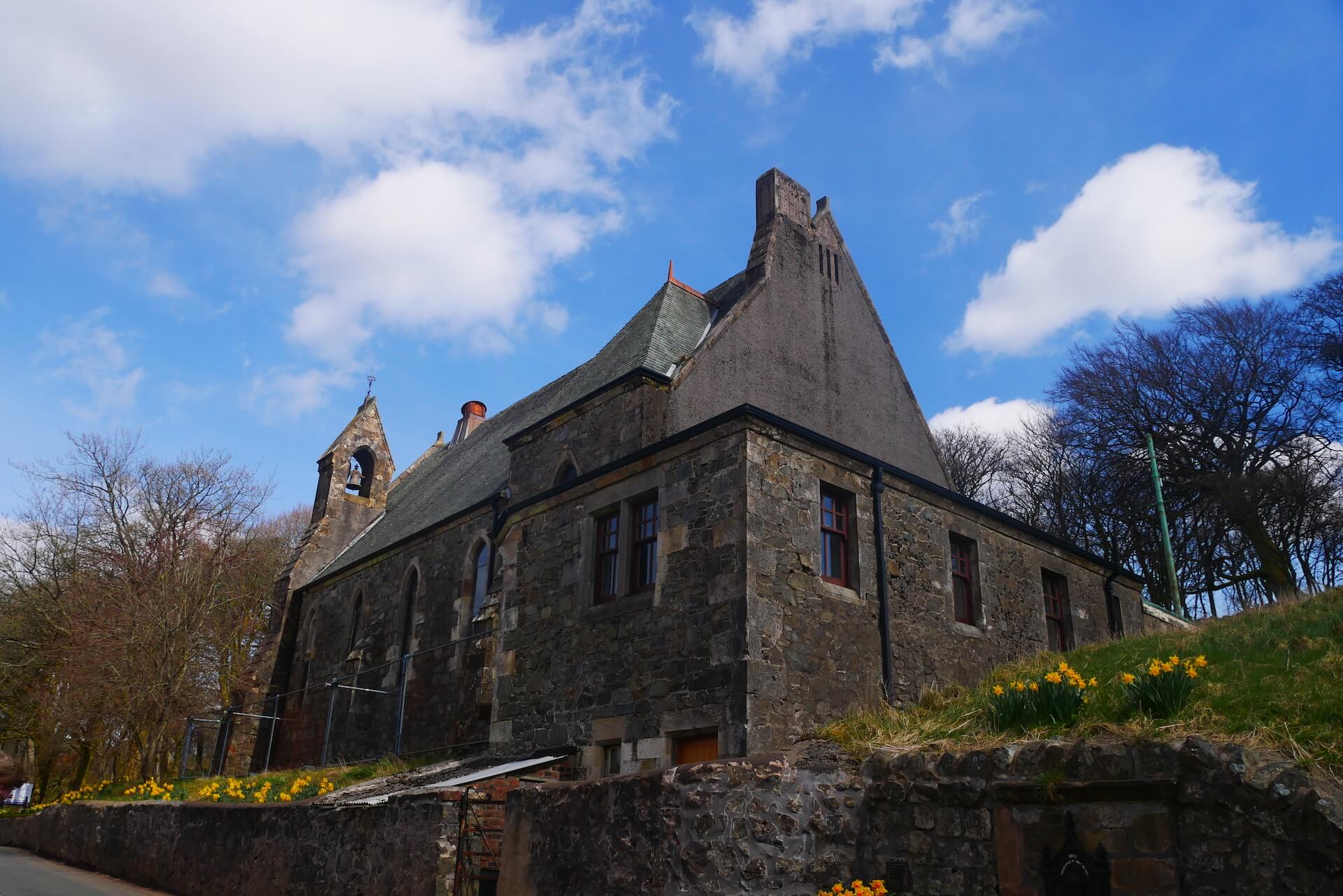
Leadhills Church
Leadhills Cottages
Ascent to Crawfordjohn
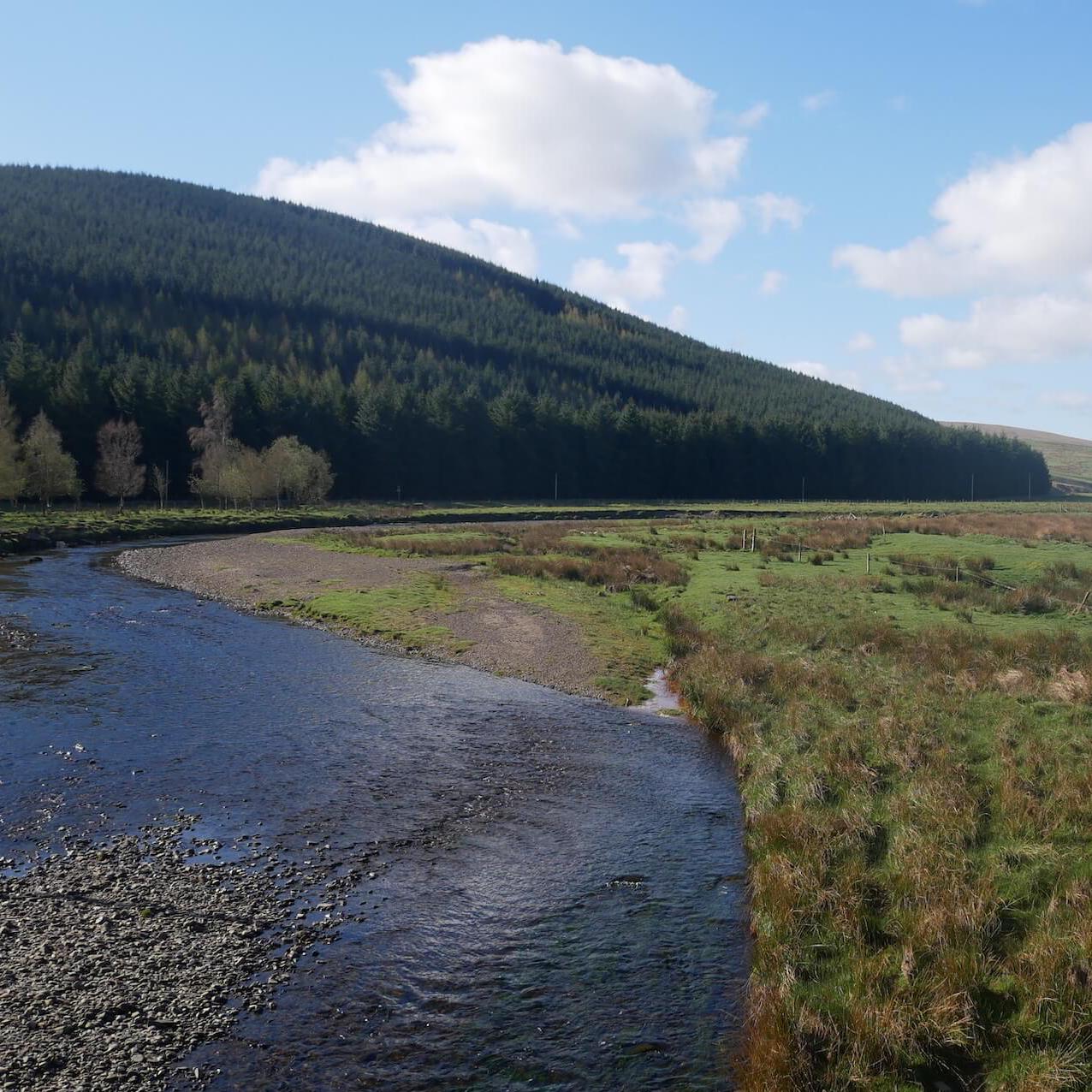
Duneaton Water, Crawfordjohn
I See You
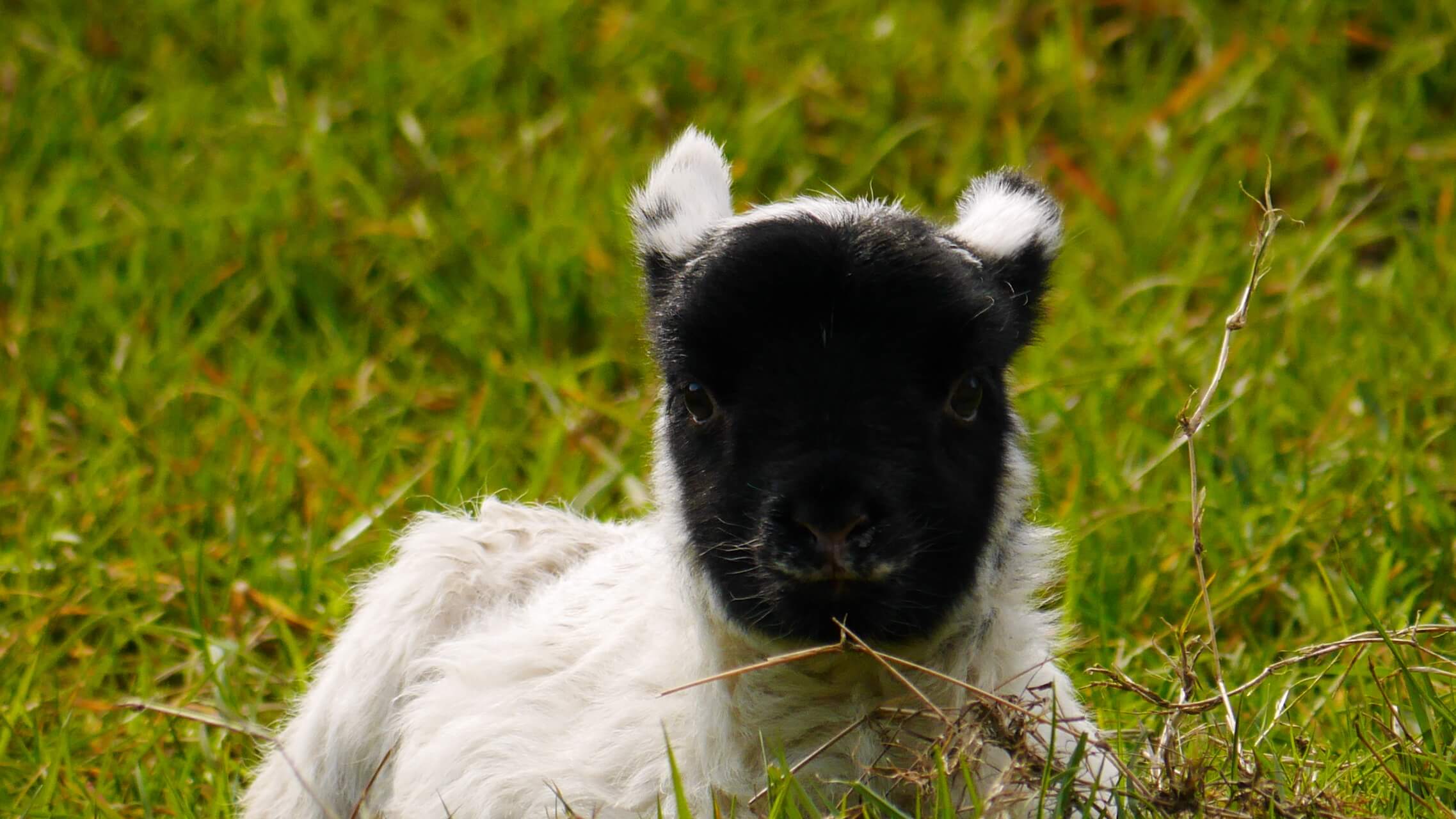
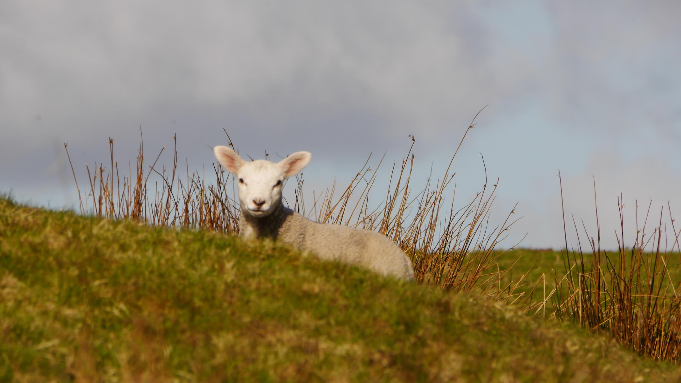
Fluffball
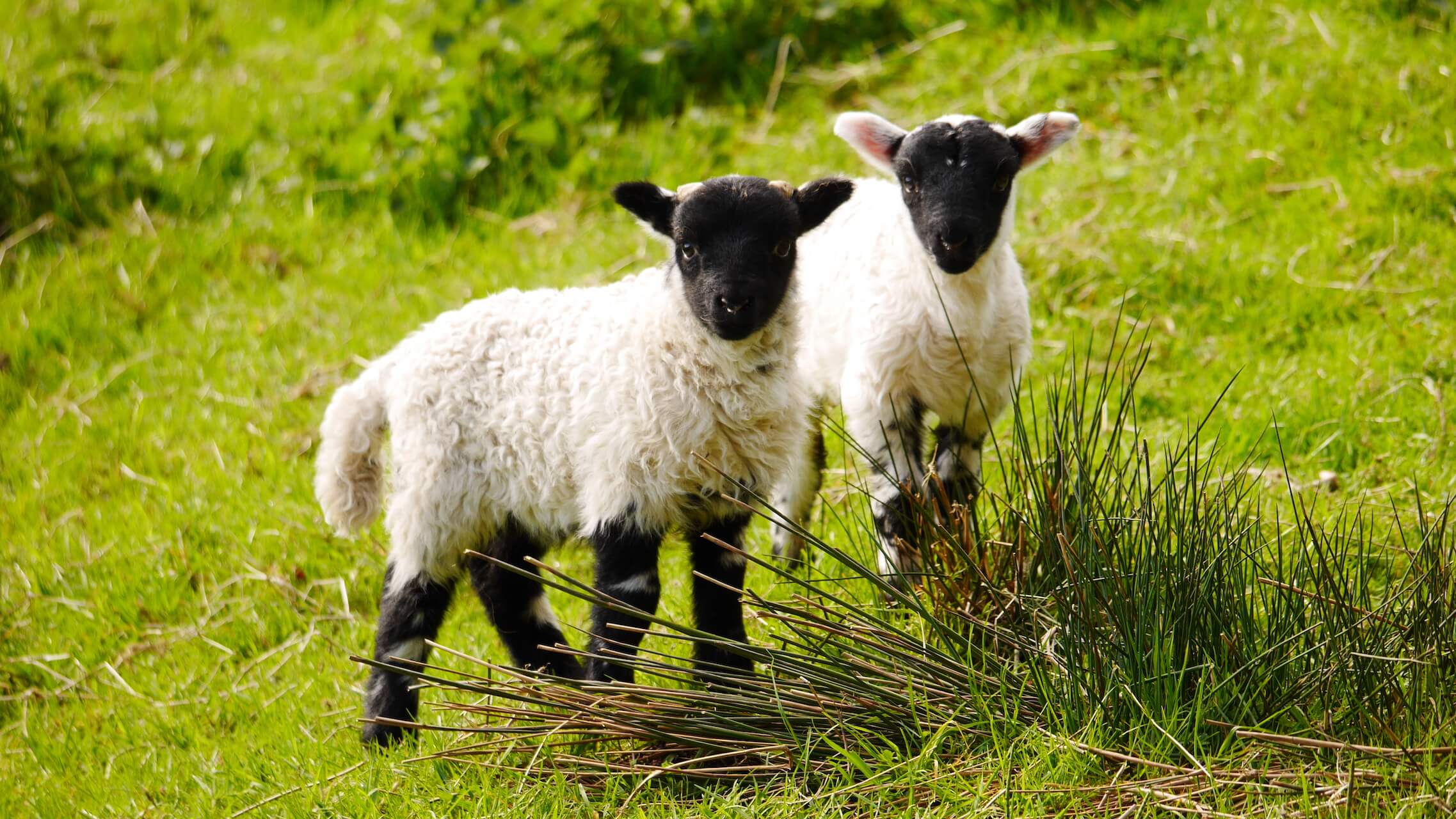
Two Fluffballs
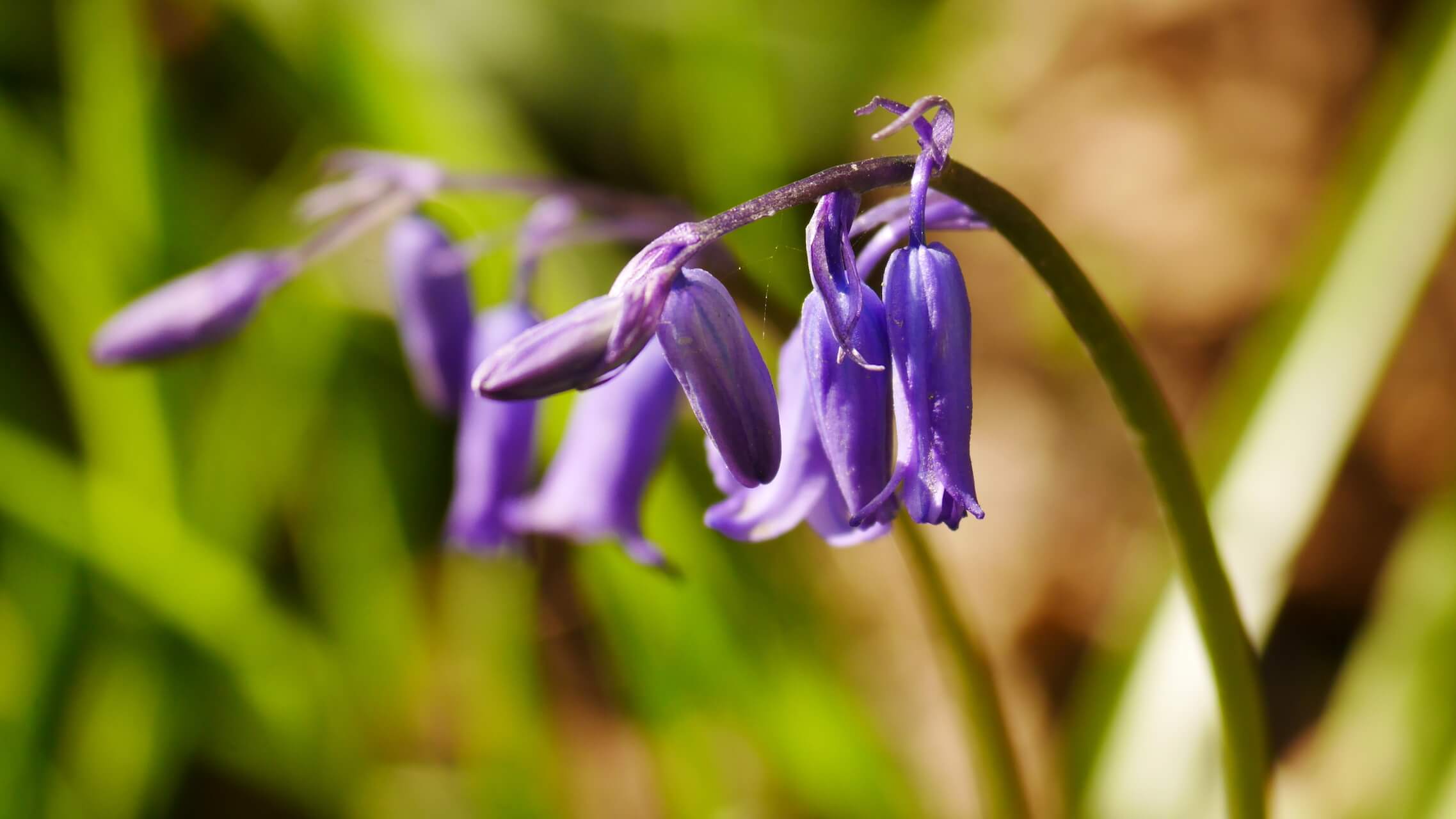
Bluebells
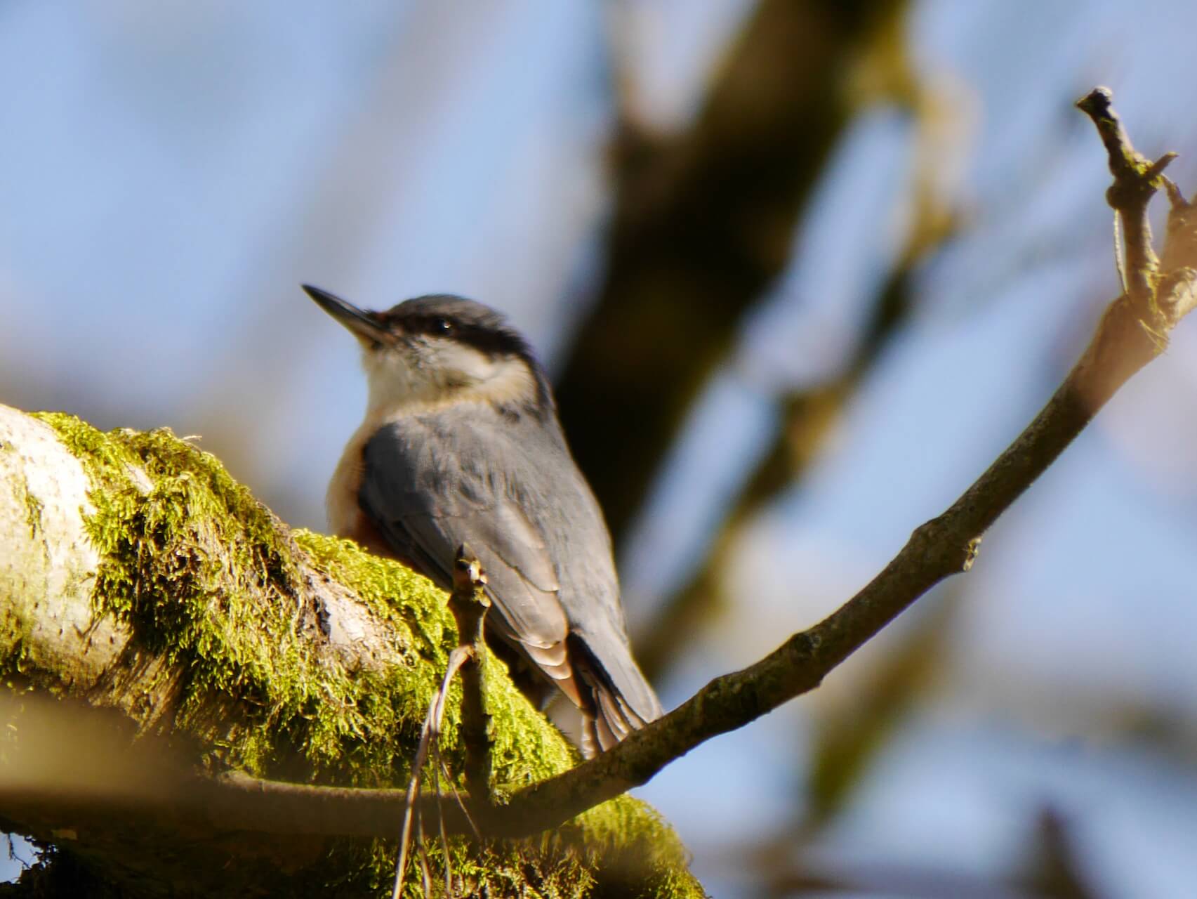
Nuthatch
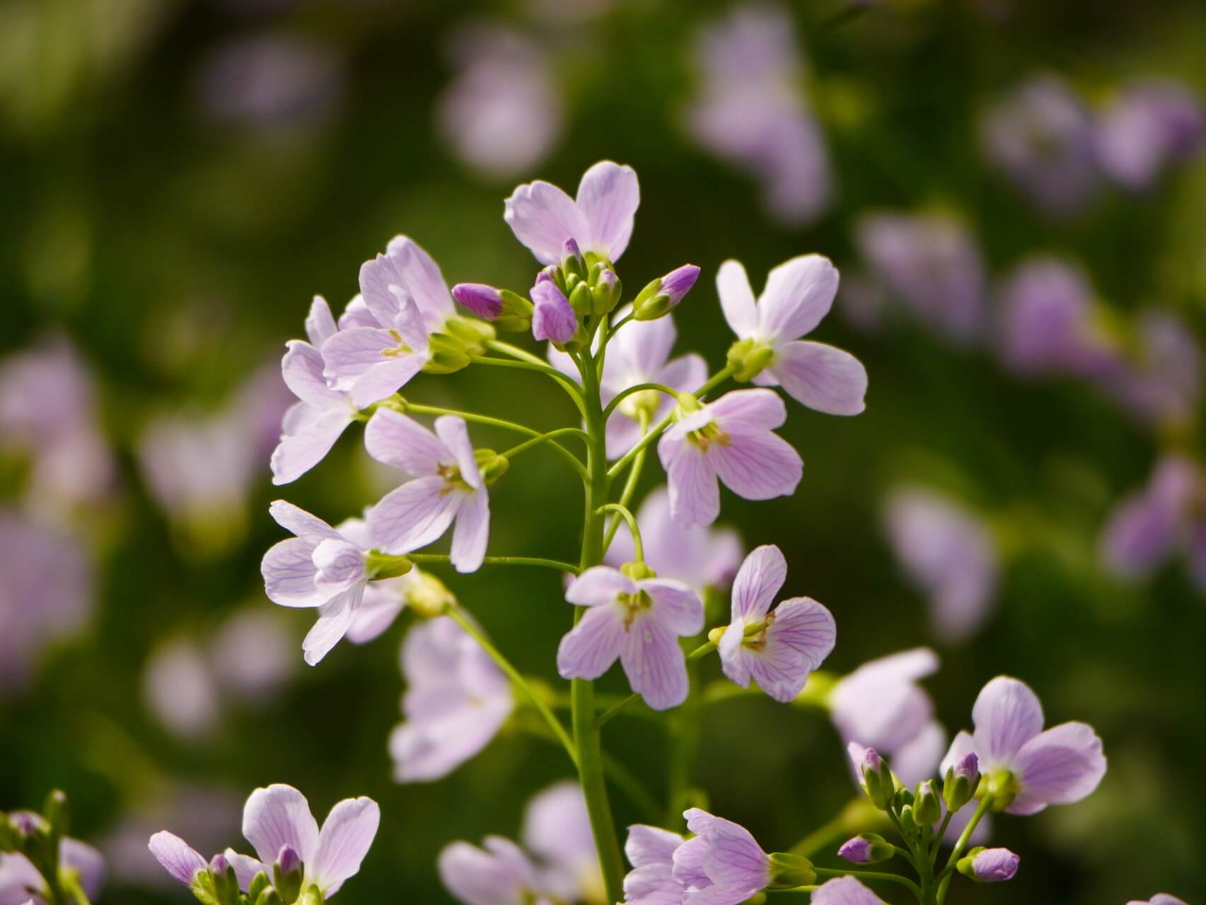
Cuckoo-flower
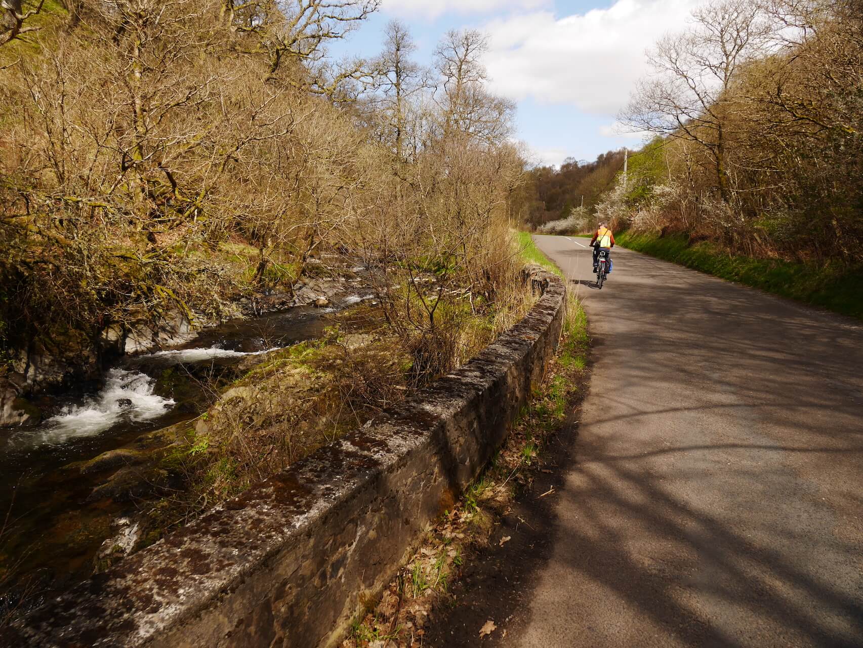
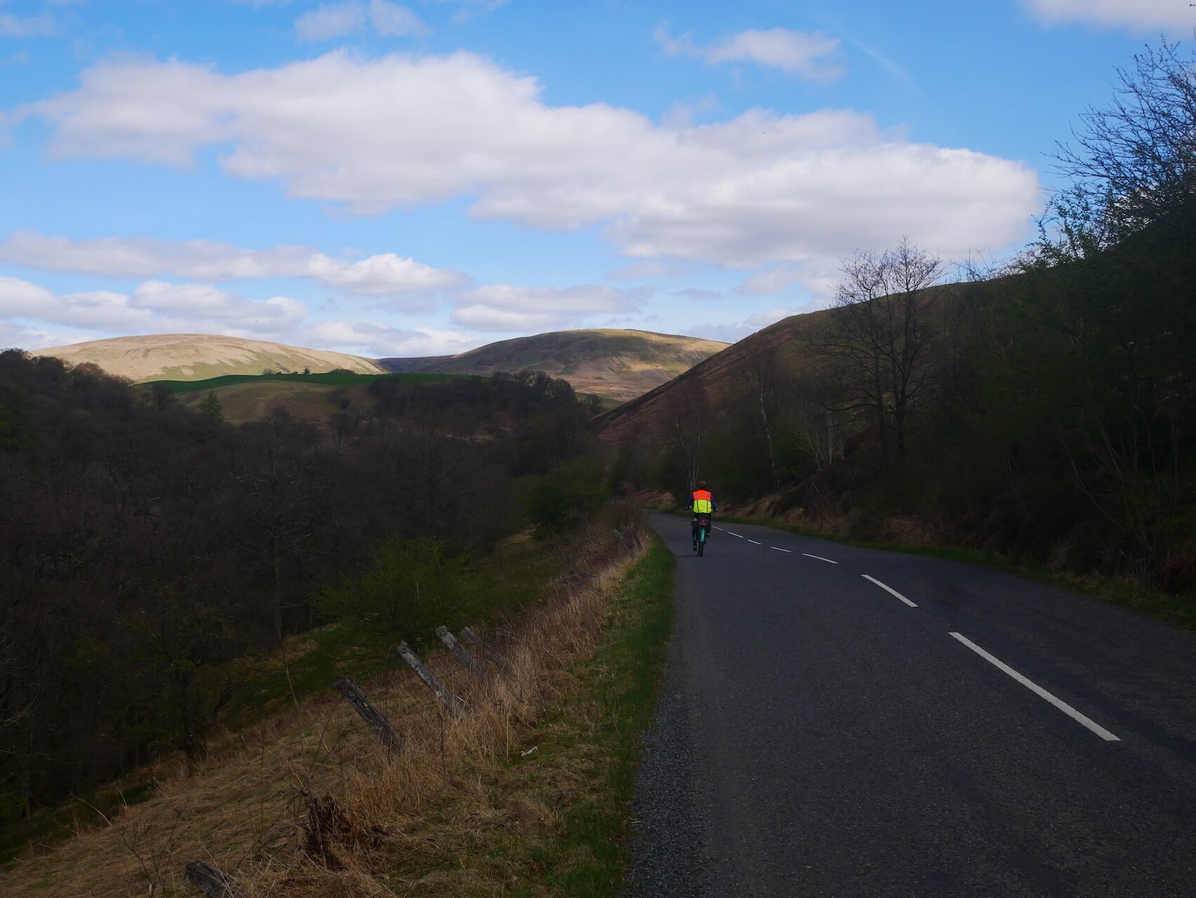
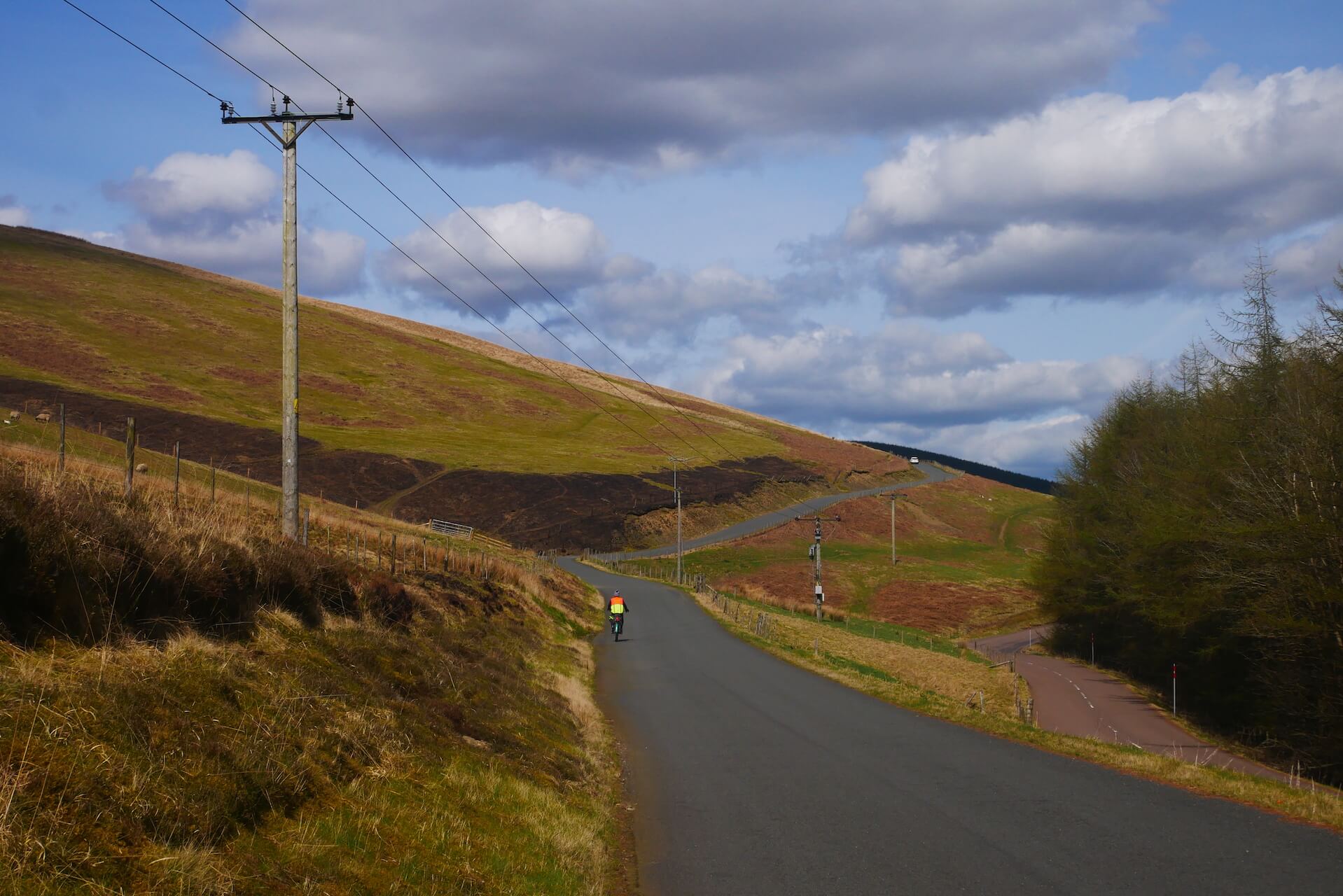
Mennock Pass Ascent Start
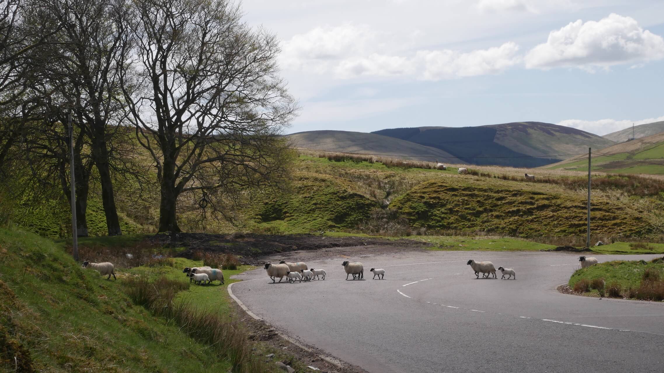
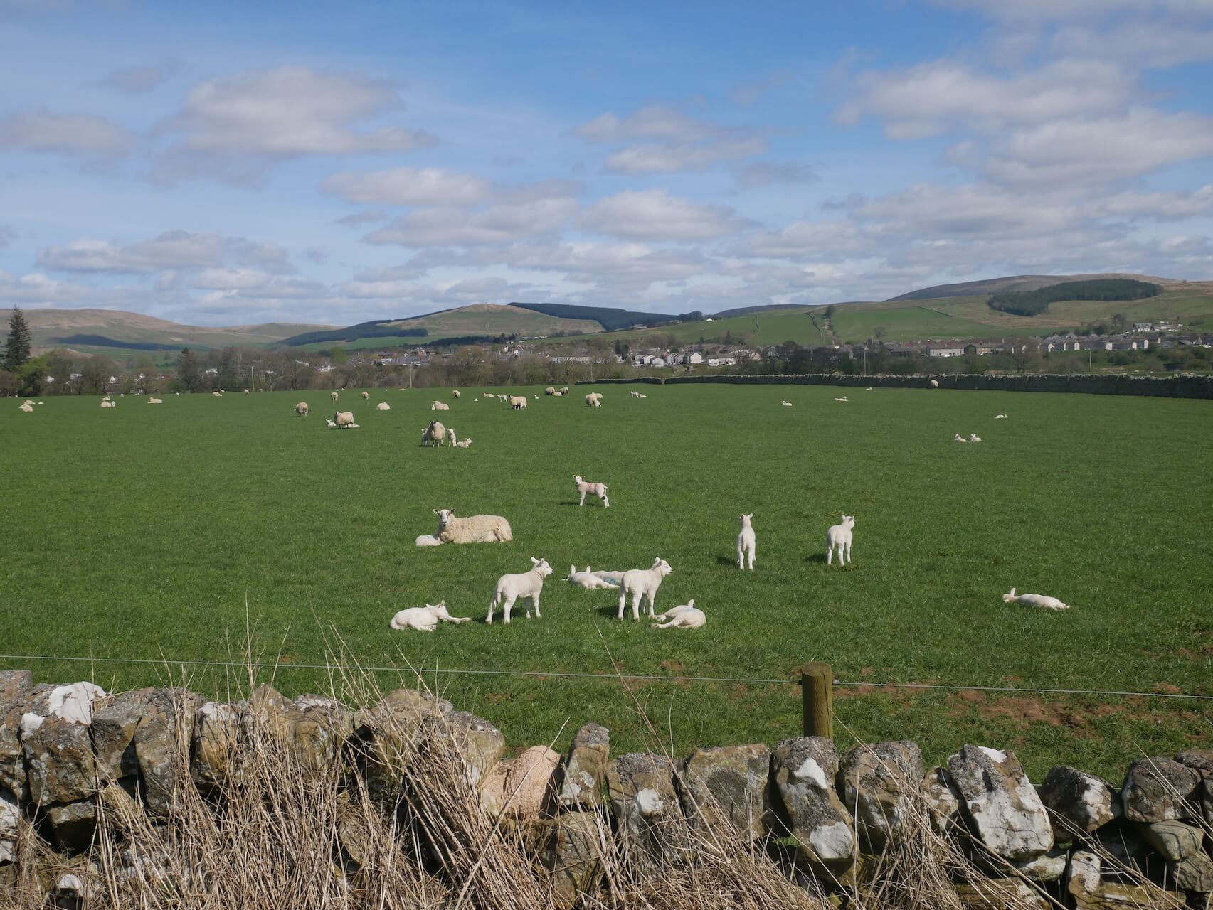
Field Trip
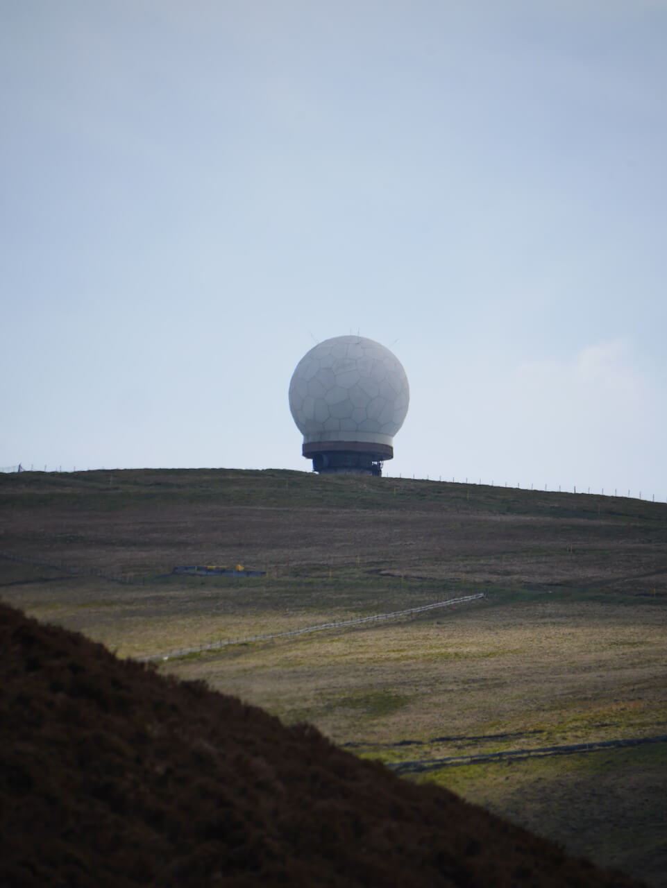
Lowther Hill Death Star
Route Reviews
If you would like to send a review of Mennock Pass cycle route, please email us