Sleat Peninsula
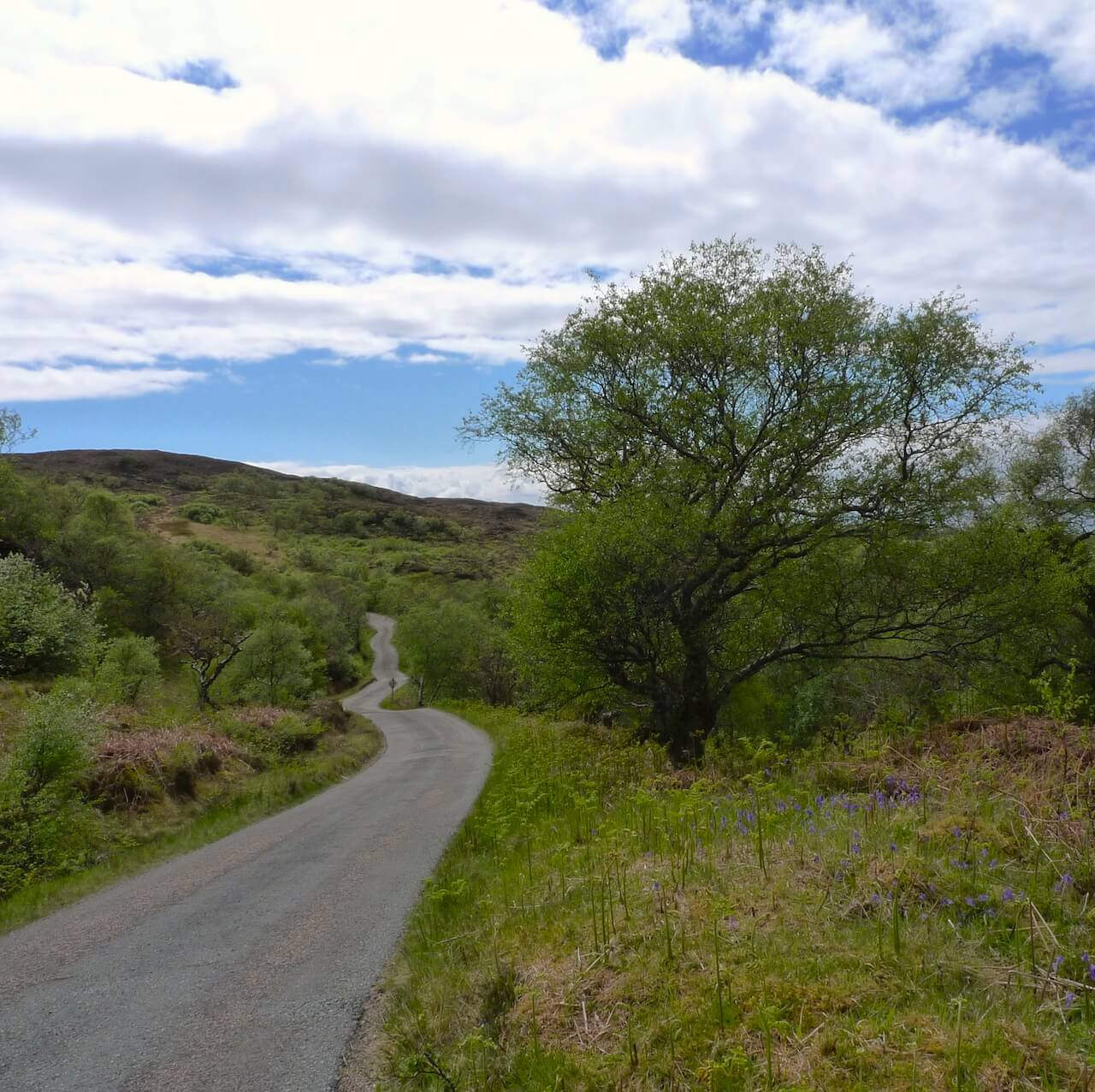
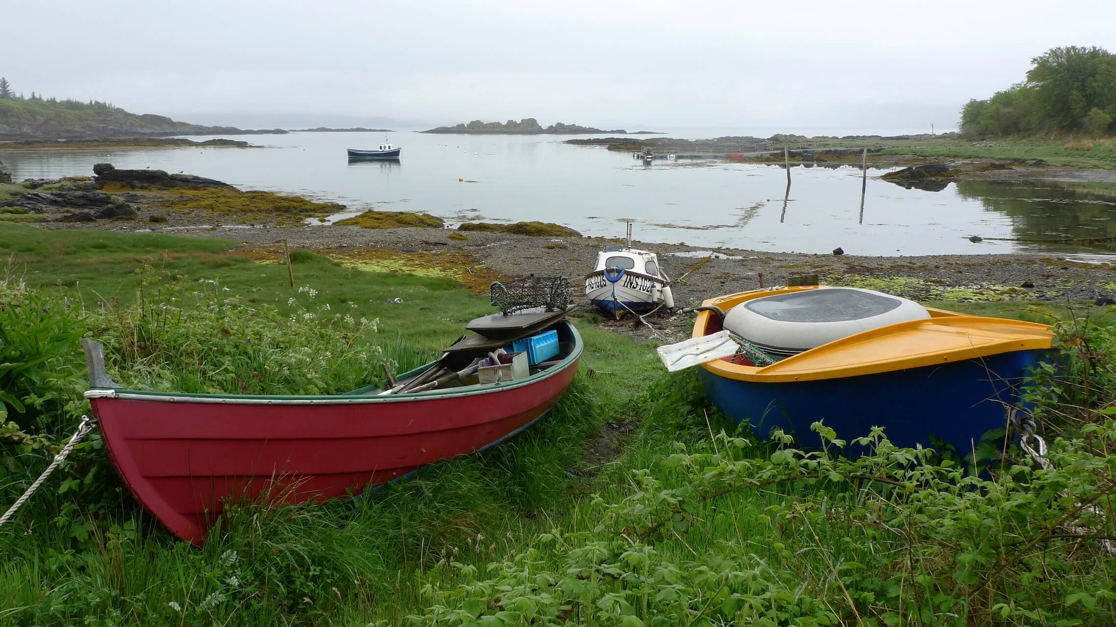
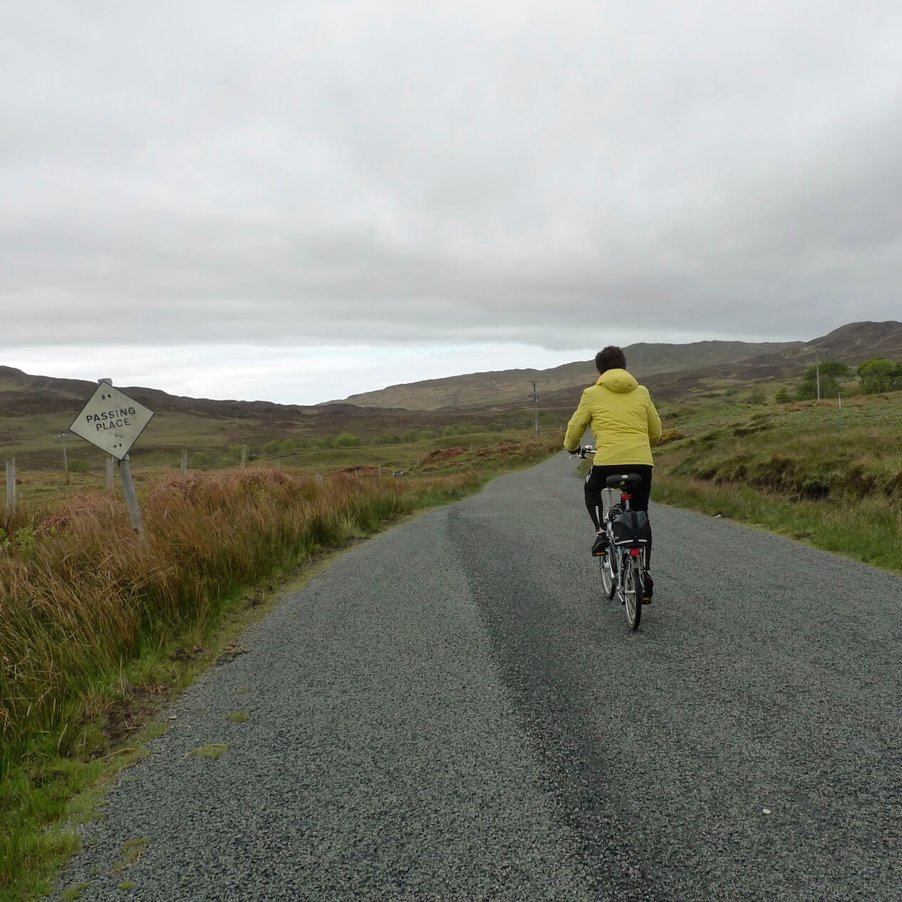
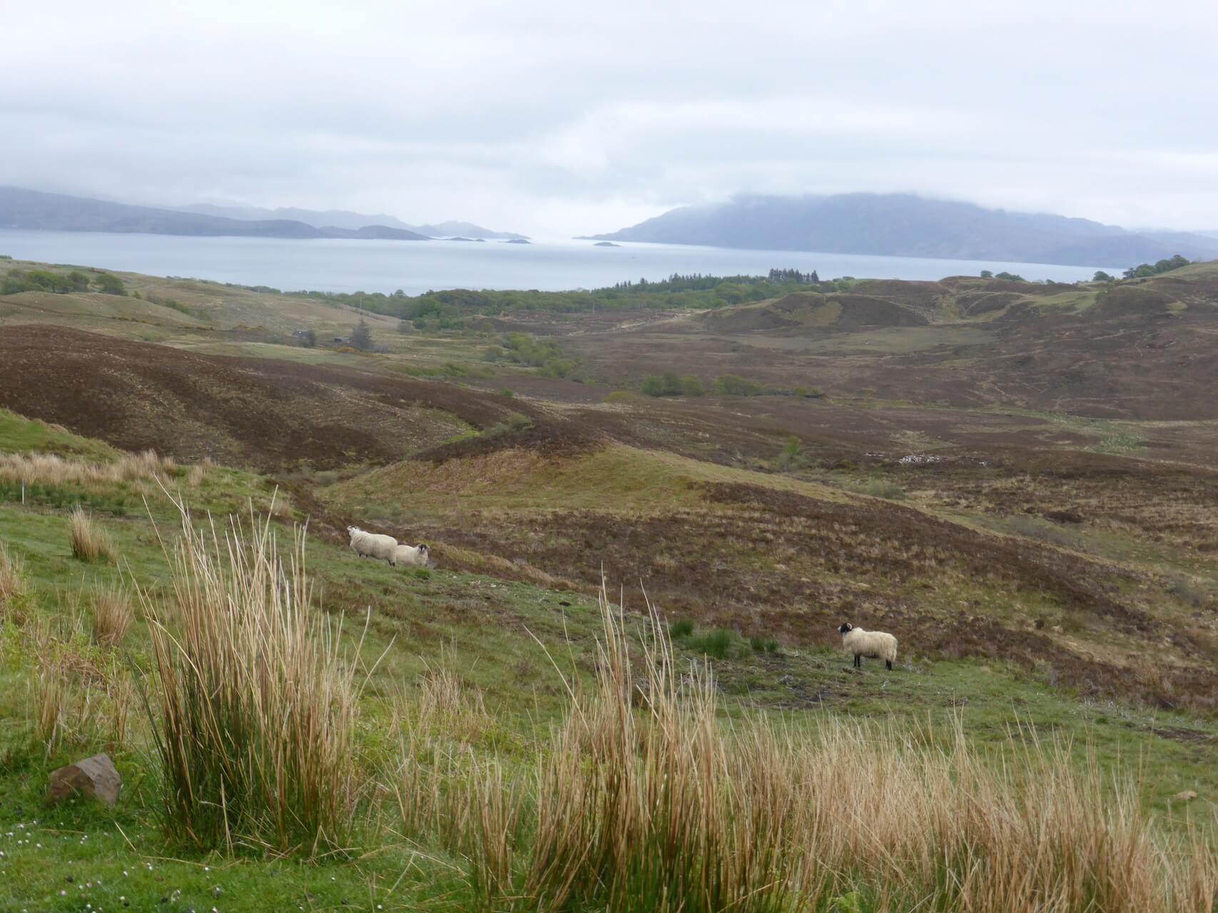
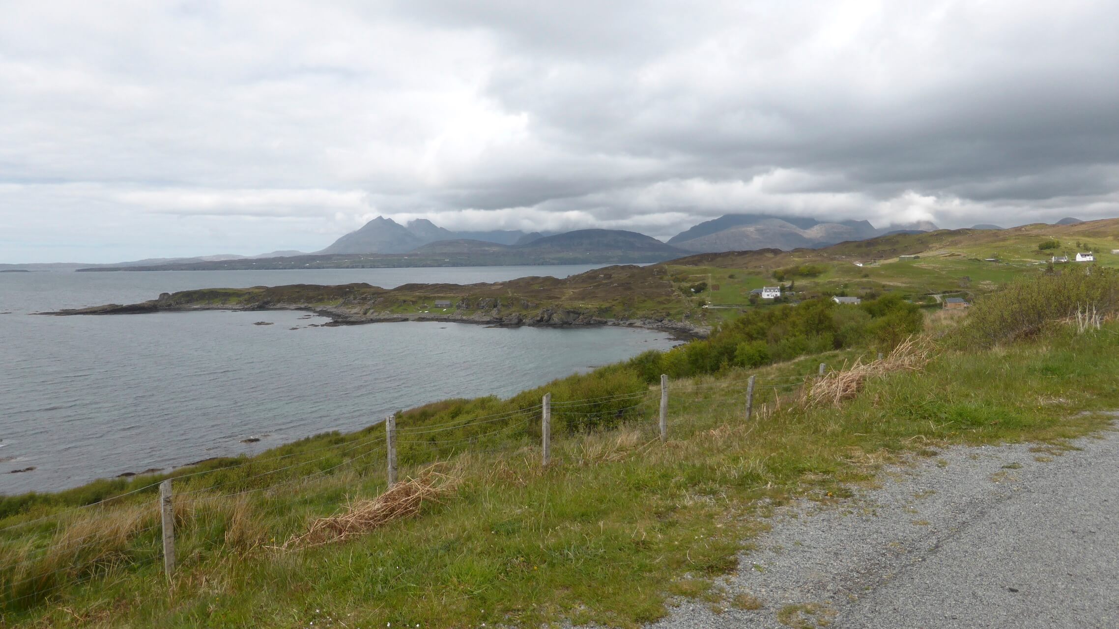
This moderate circular route on the Sleat Peninsula includes a unique and varied landscape. This lesser-known part of Skye features lush rolling hills, desolate moorland, sheltered bays and glorious views over the sea to the jagged Cuillins.
Route Summary
-
- Distance
- 21 miles / 33 km
-
- Time
- 01:41
-
- Ascent
- 1640 feet / 500 m
-
- Difficulty Level
- Moderate
-
- Terrain
- Road
-
- Start Point
- Armadale Ferry Terminal
-
- End Point
- Armadale Ferry Terminal
-
- How to Get There
Armadale on the Sleat Peninsula, Isle Of Skye is accessible via ferry from the town of Mallaig. The ferry terminal is not far from Mallaig railway station.
-
- Downloads
- Download GPX
Route Map
Gallery
Armadale
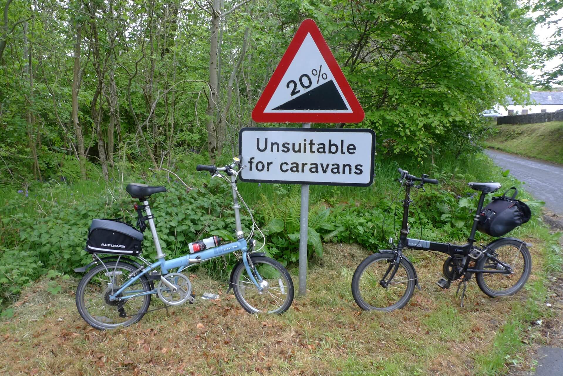
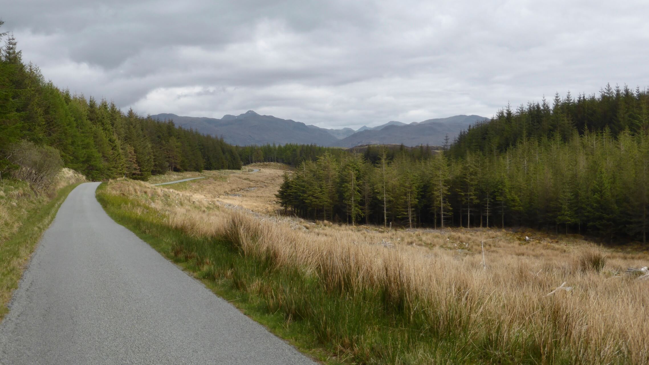
Suitable for bikes
Ascent from Kilbeg
Above Loch Hourn
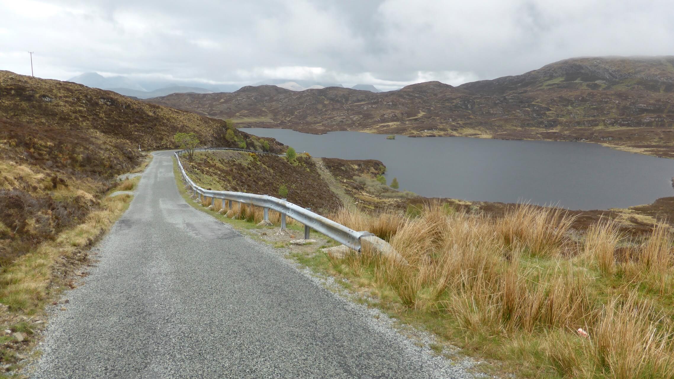
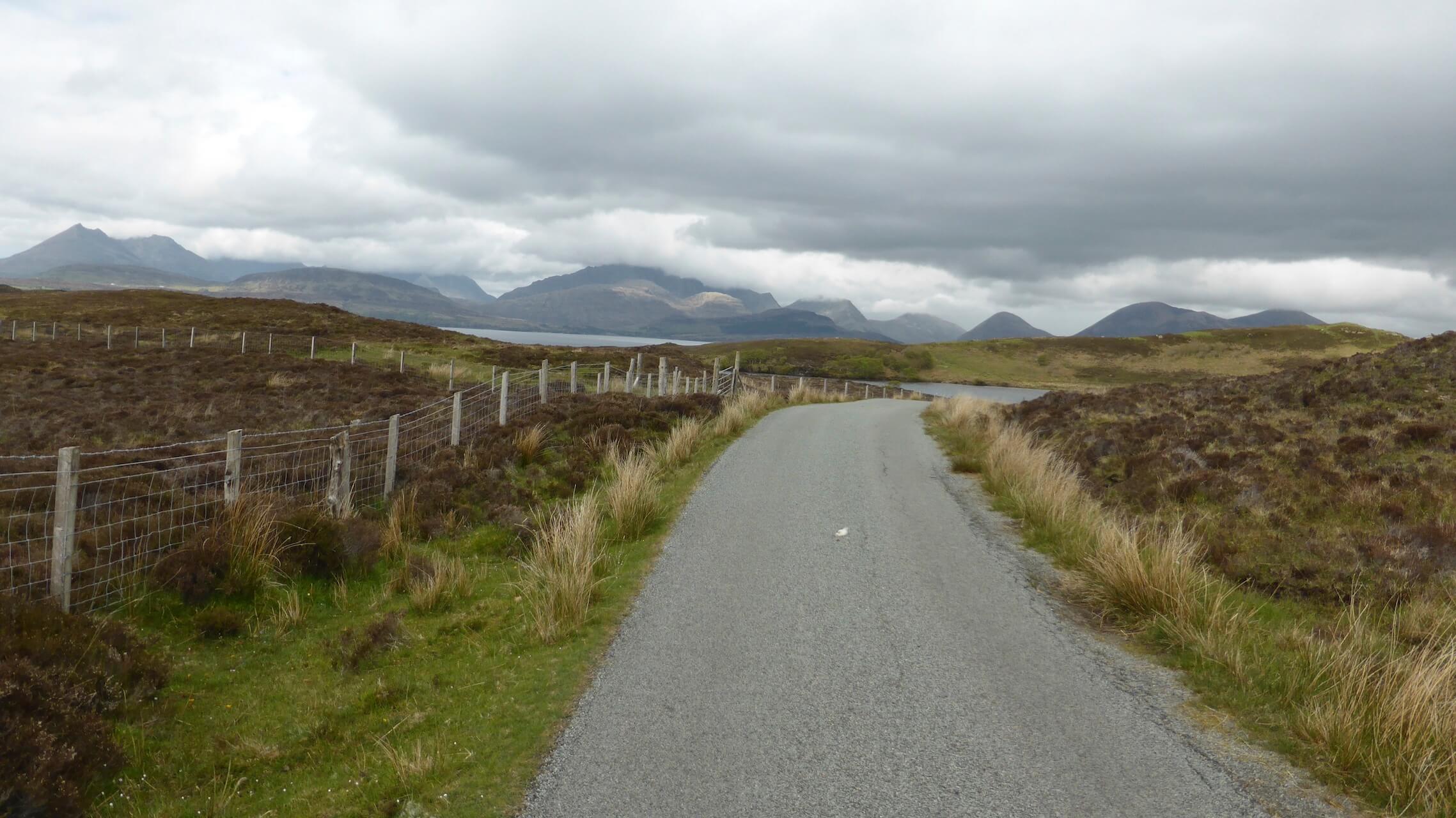
Loch Dhughaill
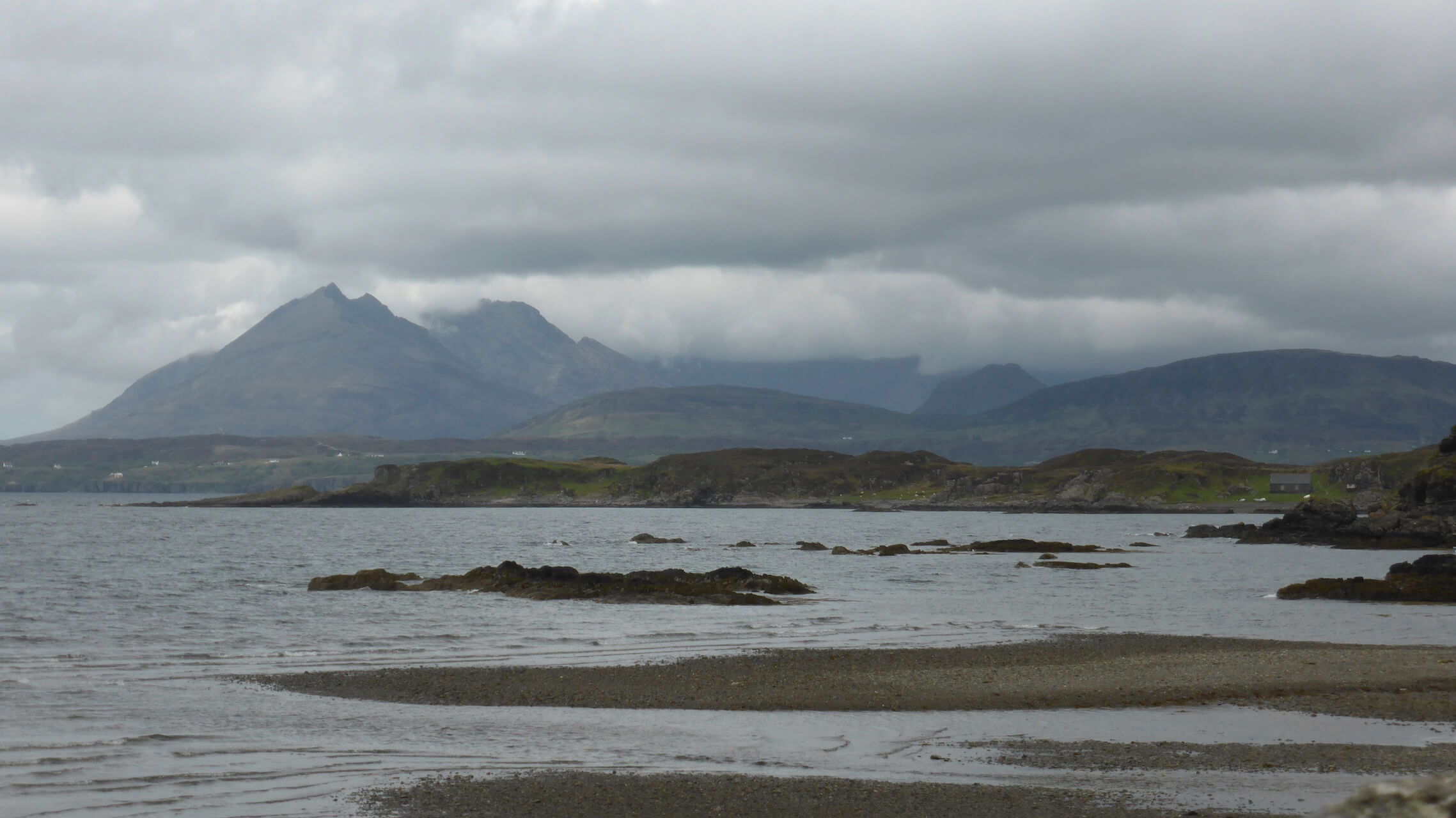
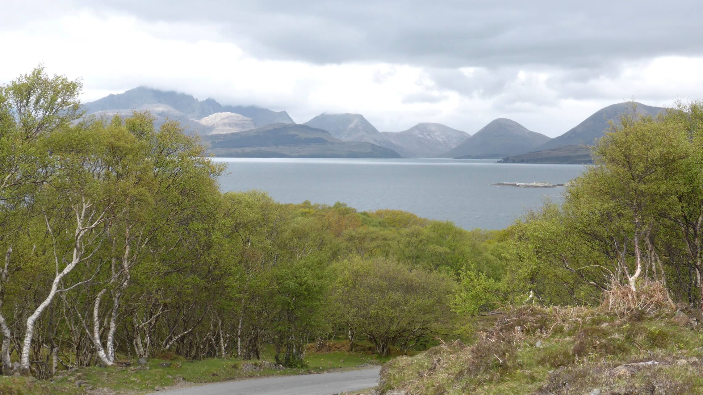
Cuillins
Cuillins from Tarskavaig
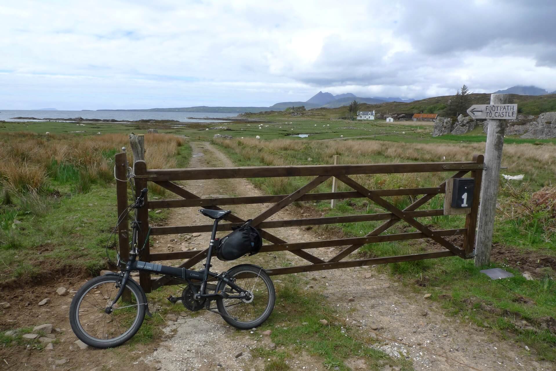
Dunscaith Castle Walk Waysign
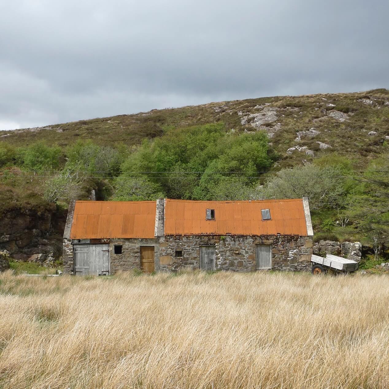
Rusty Roofs
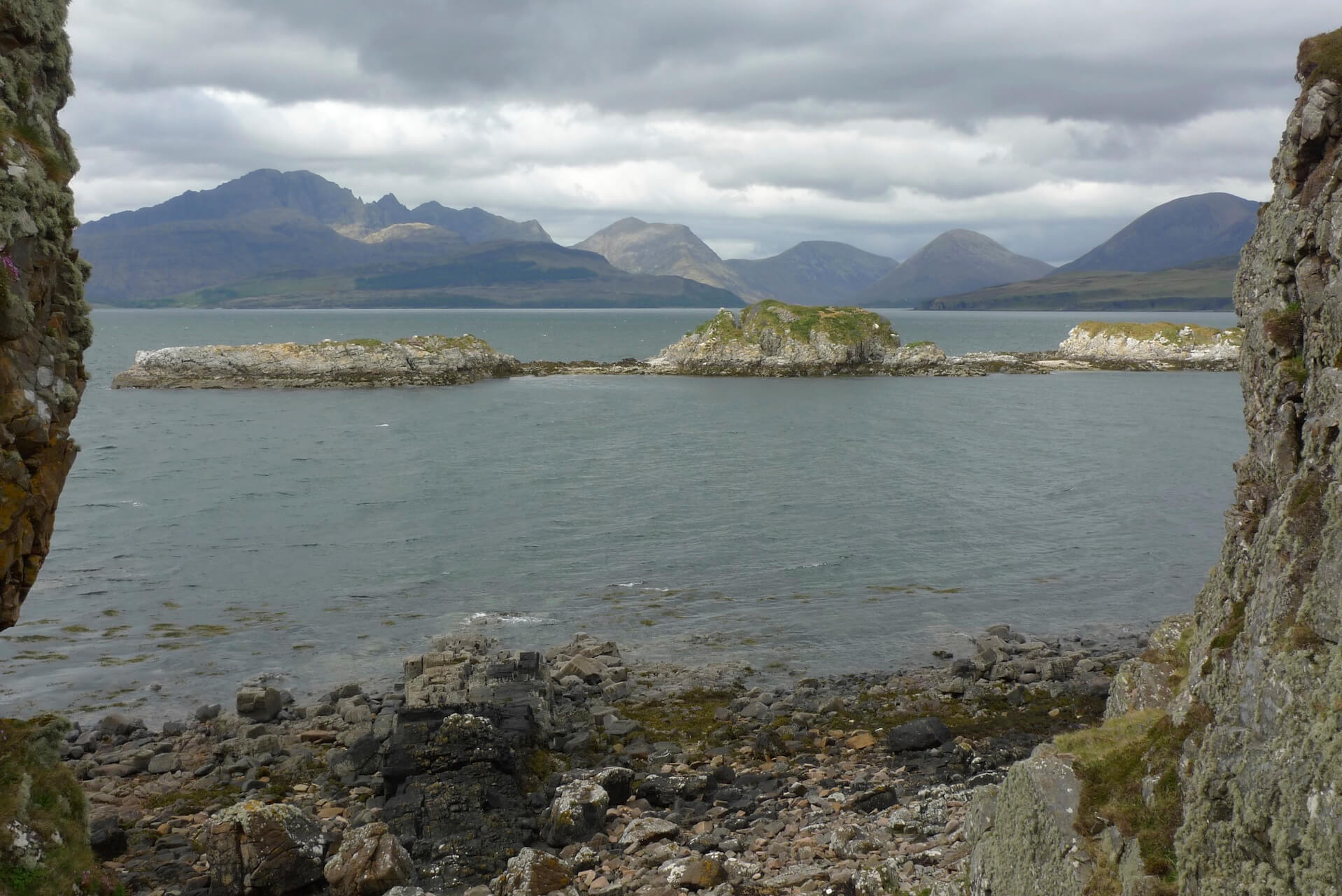
Cuillins from Dunscaith Castle
More Cuillins
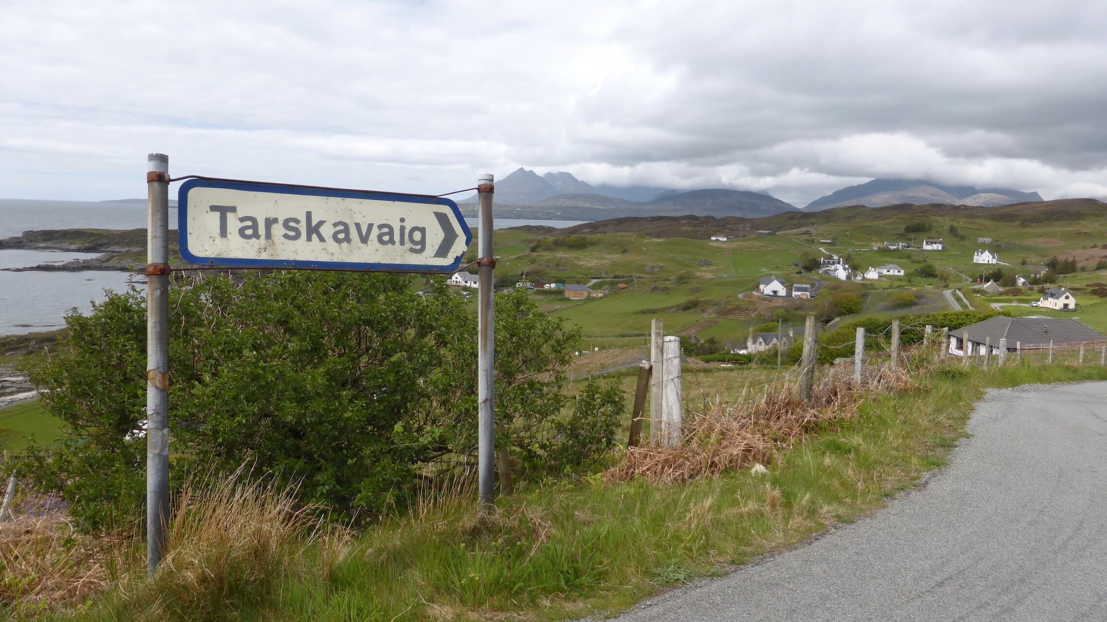
Tarskavaig
Tarskavaig
Above Tokavaig
Above Loch a' Ghlinne
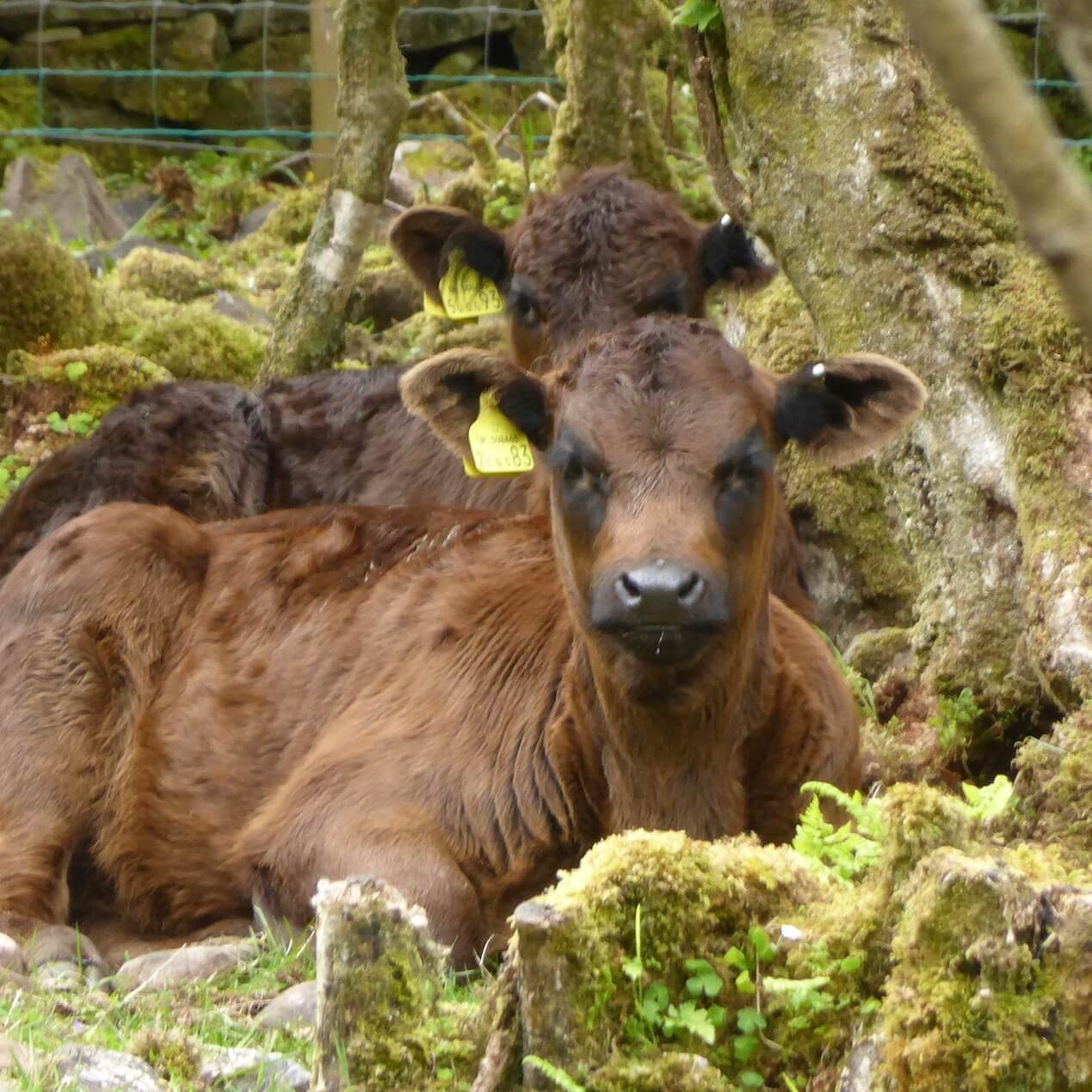
Retired cows
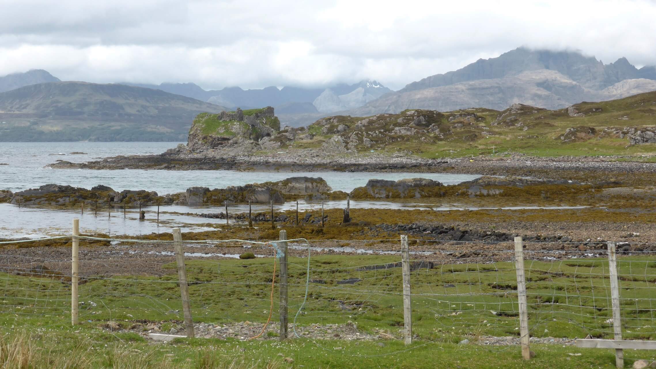
Dunscaith Castle
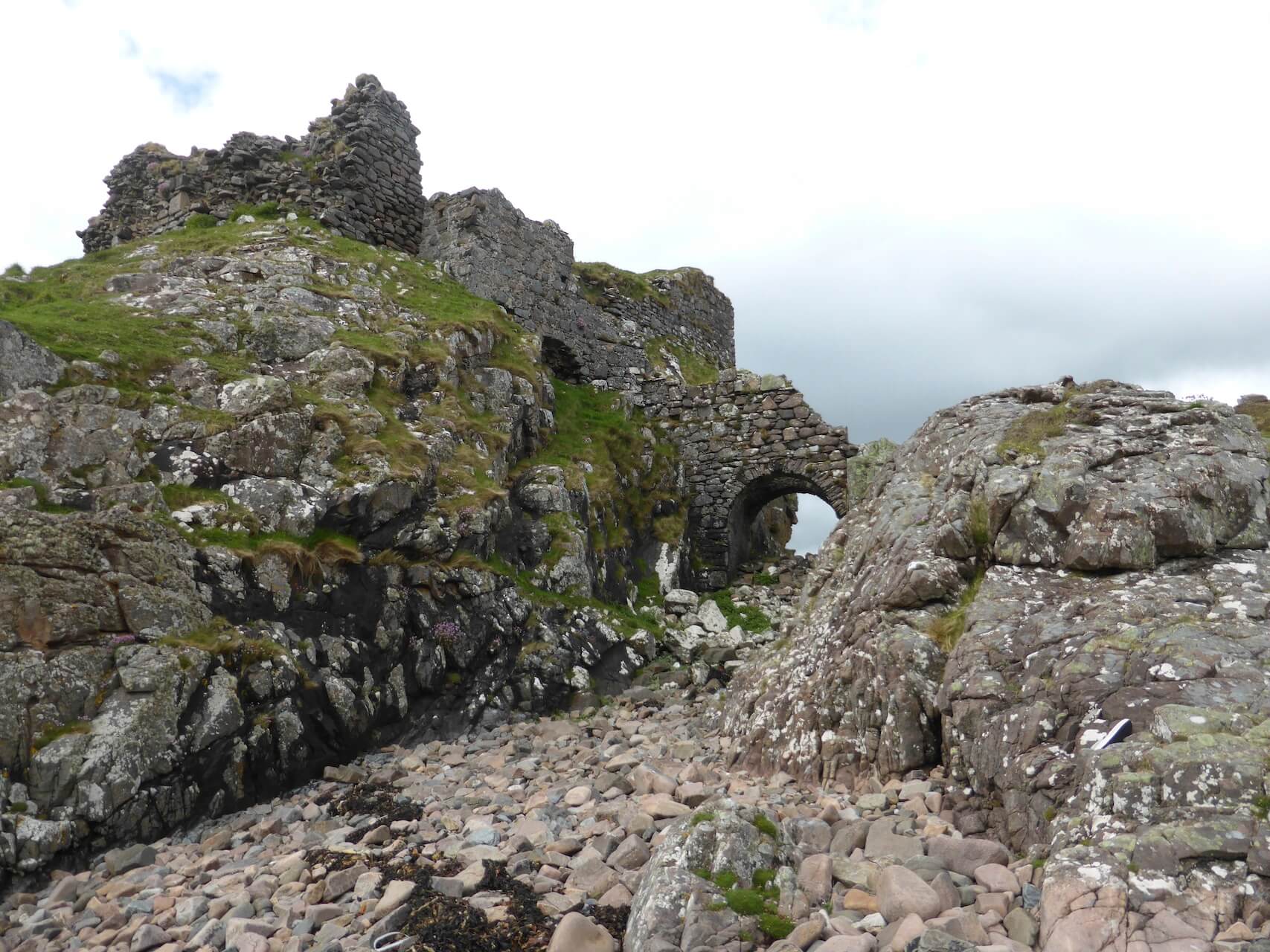
Dunscaith Castle Bridge
Near Ord
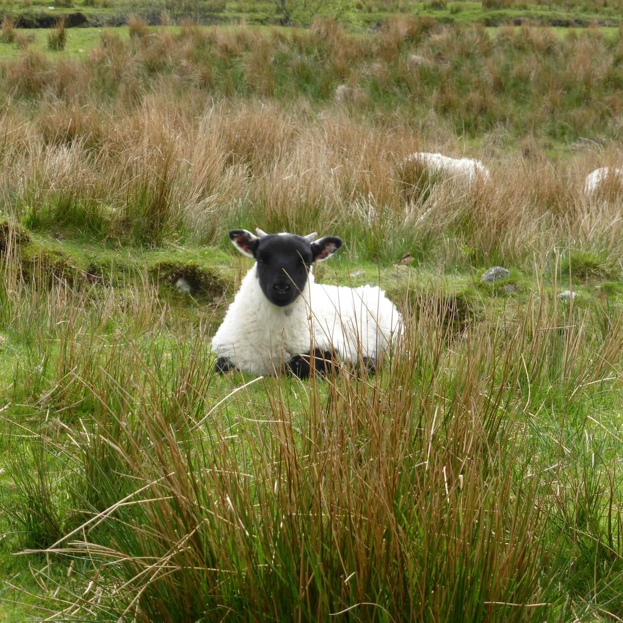
Lazy Lamb
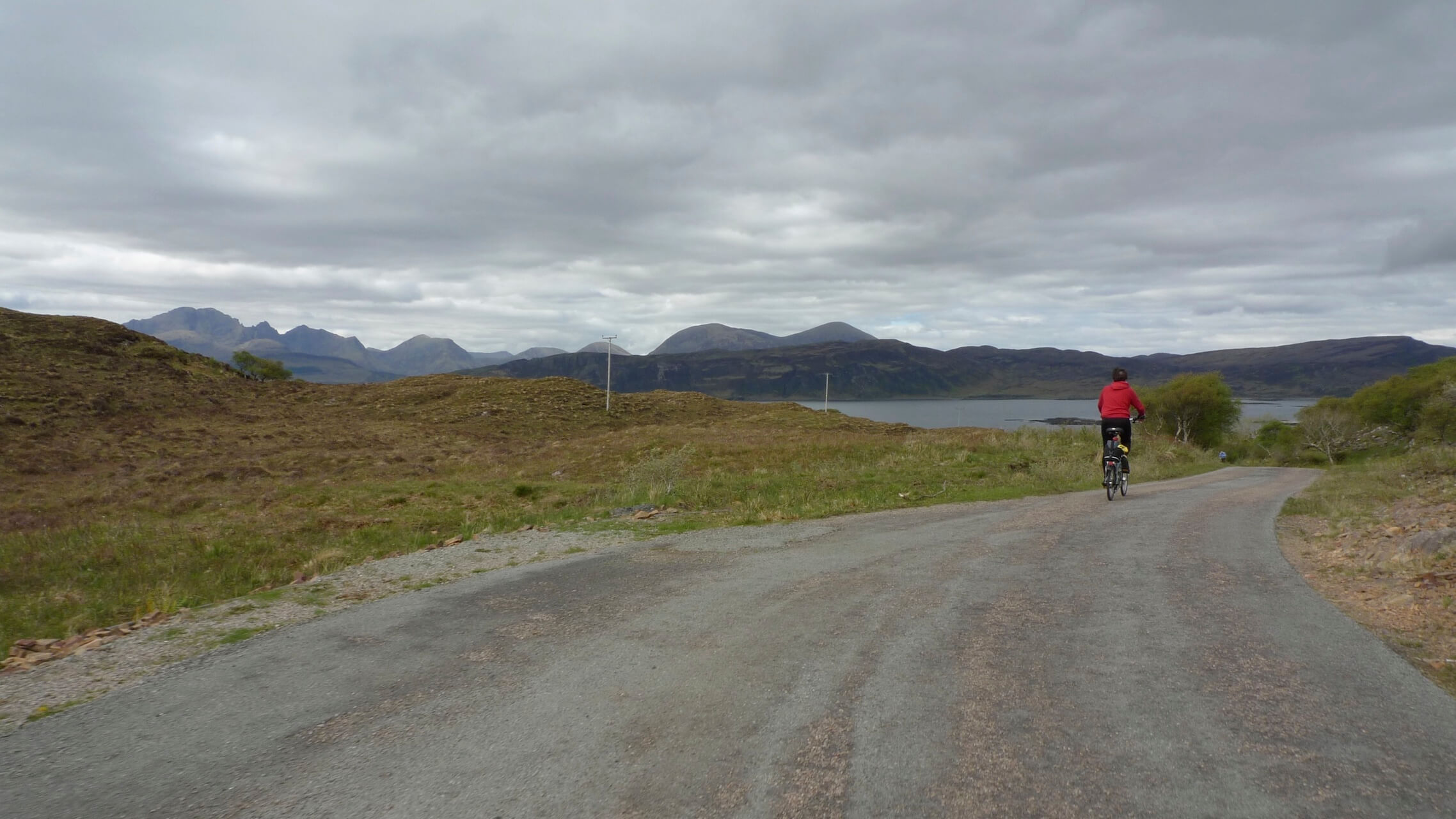
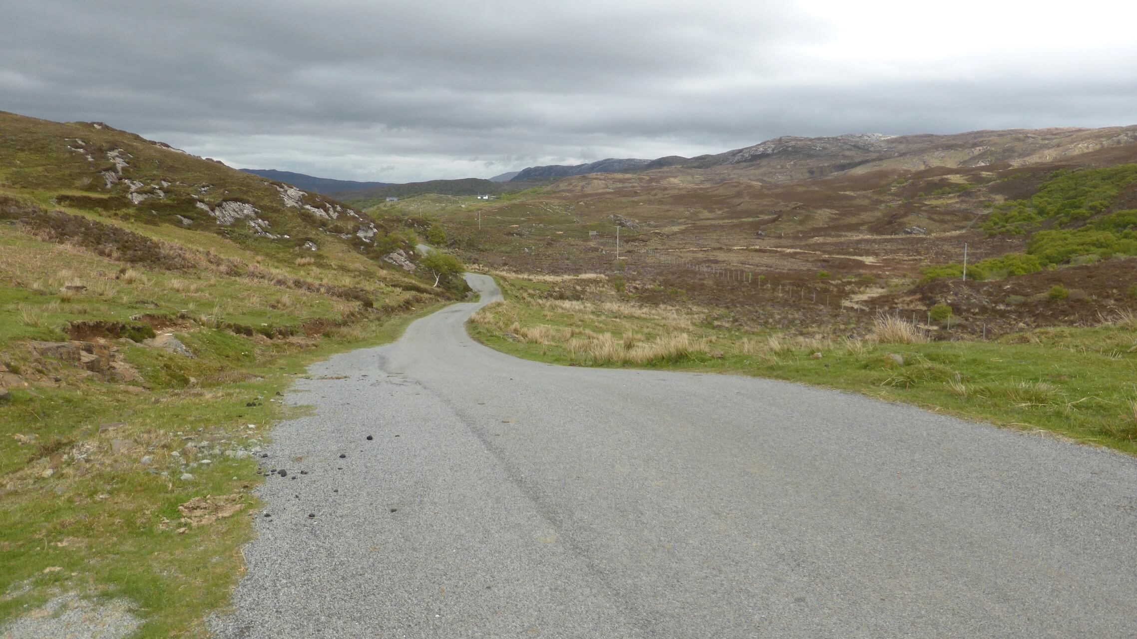
Last Stretch
Route Reviews
If you would like to send a review of Sleat Peninsula cycle route, please email us