Stirling to Glasgow via the Tak Ma Doon
Starting from Stirling Railway Station, this route includes a challenging climb over the famous Tak Ma Doon Road and a long, flat stretch along Forth and Clyde Canal to Glasgow.
Route Summary
-
- Distance
- 31 miles / 50 km
-
- Time
- 02:37
-
- Ascent
- 1,772 feet / 540 m
-
- Difficulty Level
- Strenuous
-
- Terrain
- Road
-
- Start Point
- Stirling Station
-
- End Point
- Glasgow Queen Street Station
-
- How to Get There
This route is fully accessible via Stirling Station and Glasgow Queen Street Station
-
- Downloads
- Download GPX
Route Map
Gallery
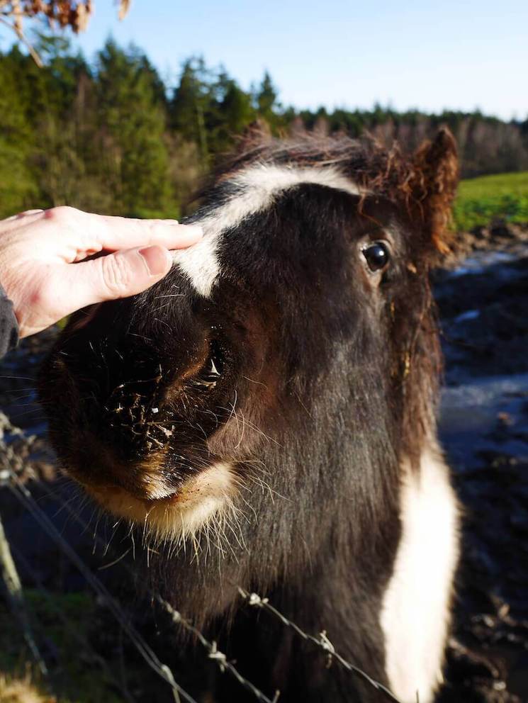
Petable Pony
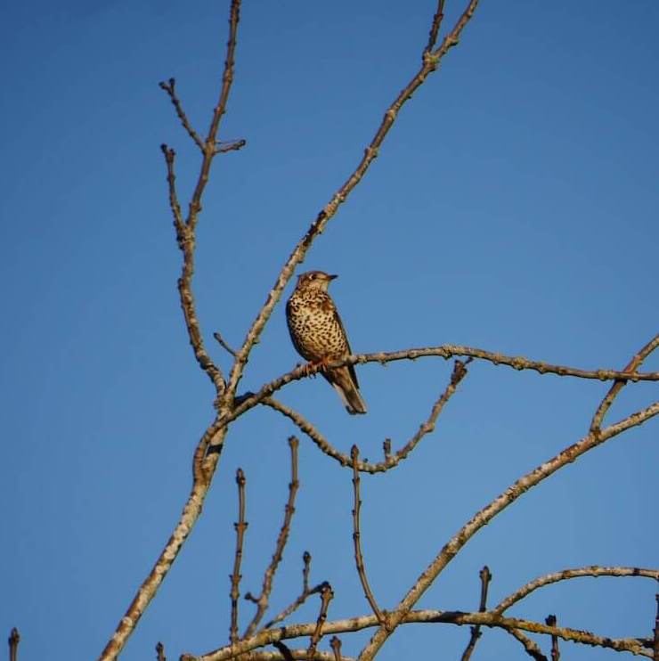
Thrush
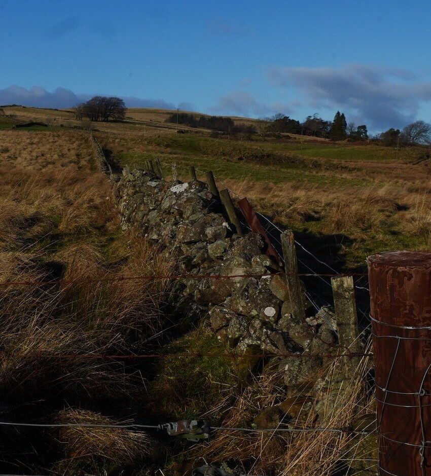
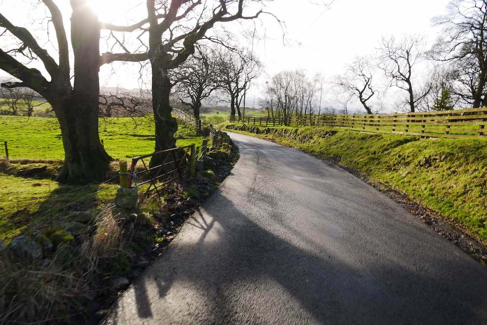
Stone Walls
Near the Osprey Hideaways
Near Loch Coulter
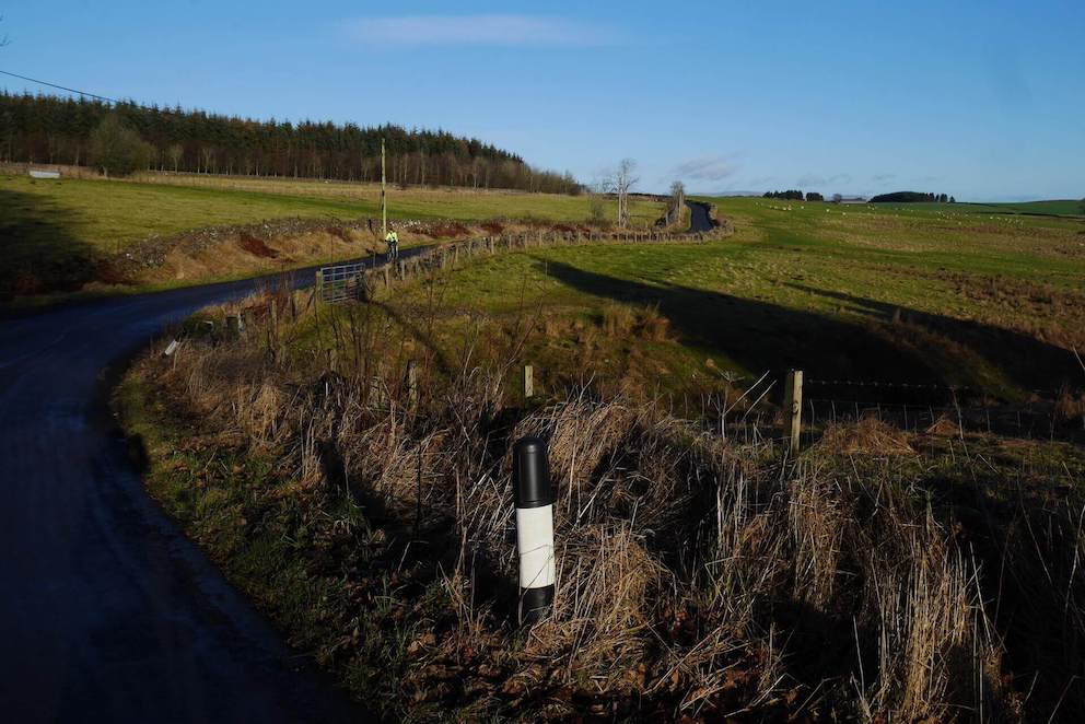
Last hill before the descent to the Carron Valley
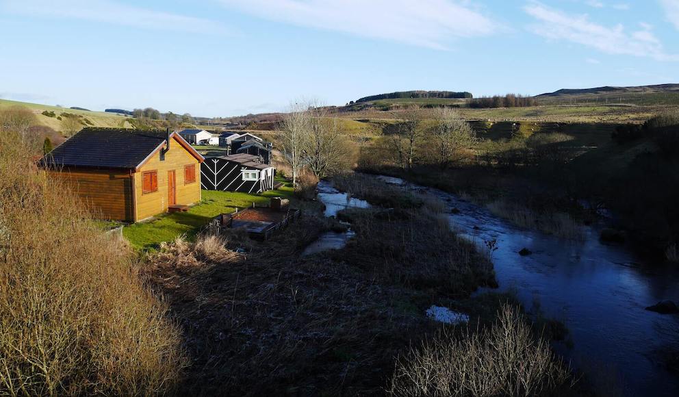
Cabins in the Carron Valley
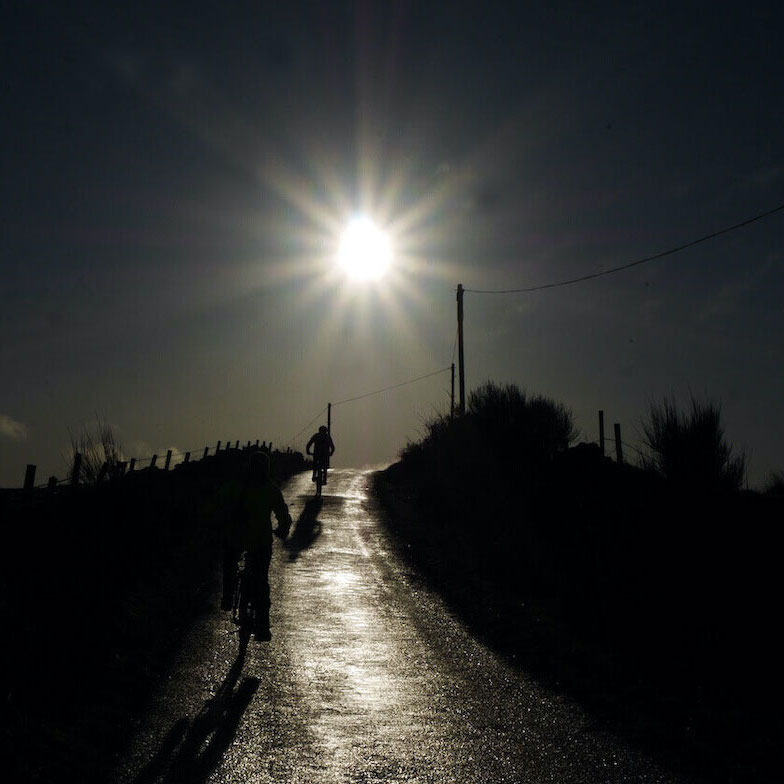
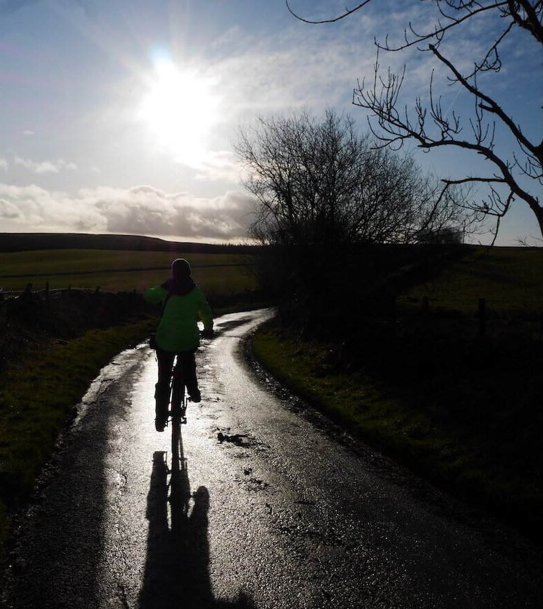
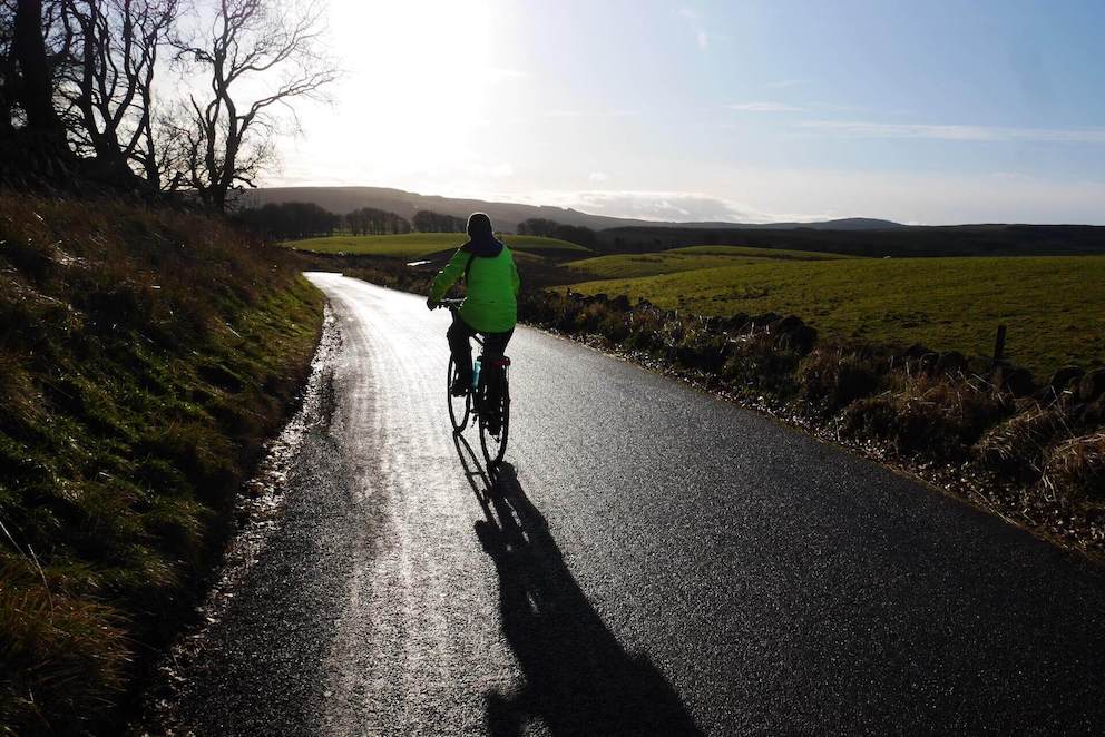
Descending the Tak Ma Doon
Route Reviews
If you would like to send a review of Stirling to Glasgow via the Tak Ma Doon cycle route, please email us